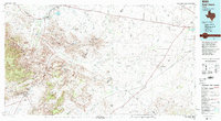
Old Maps of Chancellor, Texas for Academic Research
Study the evolution of Chancellor with 11 high-resolution historic maps. Whether you're teaching, researching, or modeling changes in land use, these maps provide essential visual documentation of urban, environmental, and geographic change.
- Analyze long-term change: Track patterns in development, transportation, and natural features.
- Ideal for environmental or urban studies: Support academic projects with primary historical map data.
- Use in the classroom or lab: Educators and researchers rely on these maps to bring historical context to life.
These maps are a powerful tool for teaching, research, and visualizing how Chancellor has changed over the decades.
Chancellor, TX maps
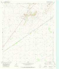
(11)- 1929 Map of Hovey
 1929 Hovey1929 Print · USGSIn the Trans-Pecos during the late twenties, the railroad and early motor trails dictated the rhythm of life across the mesa country. Researchers can trace the path of the Old Spanish Trail, locate rural stops like Chancellor, and identify family landmarks like Hayter and Williams.
 - 1954 Map of Fort Stockton, 1965 Print
 1954 Fort Stockton1965 Print · USGSWest Texas ranching and the early energy industry converge in this mid-century survey of the Trans-Pecos. Genealogists and historians can locate specific family lands like Graef Brothers Ranch and trace the paths of the Old Spanish Trail and the Southern Pacific railroad.3 unique versions available
 - 1958 Map of Fort Stockton
 1958 Fort Stockton1958 Print · USGSThe Trans-Pecos region of West Texas in the late fifties is a landscape of vast mesas and isolated ranching hubs. Genealogists and historians can trace the paths of the Texas and New Orleans RR through Alpine or locate early settlements like Bakersfield and Sanderson.
 - 1973 Map of Fort Stockton, 1974 Print
 1973 Fort Stockton1974 Print · USGSThe Trans-Pecos region of West Texas comes alive in the early seventies, from the desert flats of the Stockton Plateau to the heights of the Davis Mountains. Researchers can trace the legacy of frontier outposts and rail lines through Fort Davis Nat Hist Site, Alpine, and the Southern Pacific RR.
 - 1980 Map of Chancellor
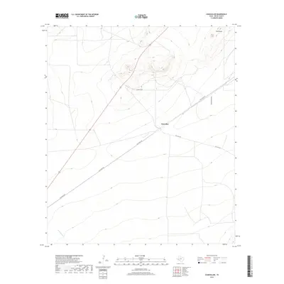
 1980 Chancellor1980 Print · USGSPecos County's arid landscape is captured in the late seventies as a hub of rail transport and resource extraction. Trace the path of the Atchison Topeka and Santa Fe through Chancellor and locate landmarks like Triple Butte and Acebuche Draw.
 - 1985 Map of Fort Davis, 1994 Print
 1985 Fort Davis1994 Print · USGSWest Texas in the mid-eighties shows a landscape of high desert peaks and vital spring-fed irrigation. Trace the development of Toyahvale and Balmorhea, or locate specific landmarks like the Fort Davis National Historic Site and Robbers Roost.2 unique versions available
 - 2010 Map of Chancellor, 2010 Print
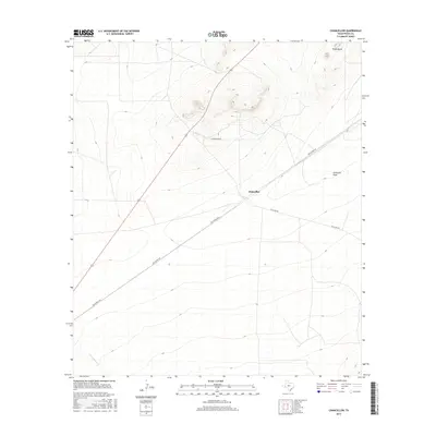
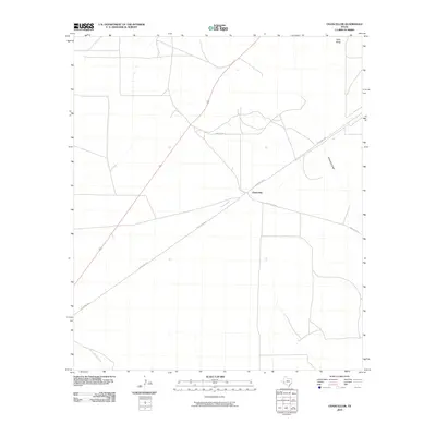 2010 Chancellor2010 Print · USGSCovers Chancellor, including Pecos County, United States, and other nearby areas
 - 2012 Map of Chancellor, 2012 Print
 2012 Chancellor2012 Print · USGSCovers Chancellor, including Pecos County, United States, and other nearby areas
 - 2016 Map of Chancellor, 2016 Print
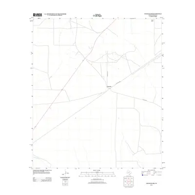
 2016 Chancellor2016 Print · USGSCovers Chancellor, including Pecos County, United States, and other nearby areas
 - 2019 Map of Chancellor, 2019 Print
 2019 Chancellor2019 Print · USGSCovers Chancellor, including Pecos County, United States, and other nearby areas
 - 2022 Map of Chancellor, 2022 Print
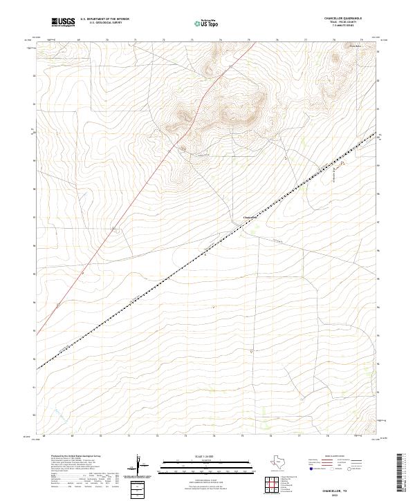 2022 Chancellor2022 Print · USGSPecos County's arid landscape is captured here in the early 2020s, centered on the remote outpost of Chancellor. Researchers can trace the path of the Old Alpine Hwy past Triple Butte and along the seasonal drainage of Acebuche Draw.
End of results
Showing maps 1-11 of 11
Frequently asked questions
- What are the different types of historical maps available for Chancellor?
- What is the oldest map of Chancellor?
- Where can I purchase historical maps of Chancellor for my home or office?
- Where can I download high-res historical maps of Chancellor?
- Are there historical topographic maps available for Chancellor?
- Is there historical aerial imagery available for Chancellor?
- Where are historical maps of Chancellor sourced from?