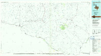
Old Maps of Papalote Seco, Texas for Genealogy
Trace your family roots with 12 historic maps of Papalote Seco. These high-res maps reveal old neighborhoods, homesites, landmarks, and streets — helping you uncover where your ancestors lived and how the area evolved over time.
- Explore historic neighborhoods: Identify where your relatives may have lived in the 1800s or 1900s.
- Compare maps over time: Trace the changes in streets, buildings, and landmarks for multi-generational research.
- Perfect for genealogy & ancestry research: Used by family historians and researchers to map out lineage and migration.
These maps are an incredible resource for exploring your personal connection to Papalote Seco's past.
Papalote Seco, TX maps
(12)- 1903 Map of Terlingua, 1963 Print
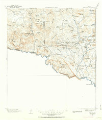 1903 Terlingua1963 Print · USGSThe Big Bend borderlands emerge at the height of the quicksilver boom, showing the isolated ranching and mining camps along the Rio Grande. Trace the roots of early mining at Study Butte and find remote family outposts like Gourleys Ranch and Lajitas.
 - 1904 Map of Terlingua
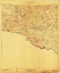 1904 Terlingua1904 Print · USGSThe Trans-Pecos frontier is captured here at the height of the early quicksilver mining boom. Genealogists and historians can locate remote family sites like Howard's Ranch and Madril Ranch, or trace early industrial efforts at the Colquitt-Tigner Mine.5 unique versions available
 - 1931 Map of Lajitas
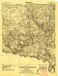 1931 Lajitas1931 Print · USGSThe Big Bend borderlands come into focus in the early 1930s, showing the isolated ranches and rugged volcanic landscape along the Rio Grande. Genealogists and historians can trace remote outposts like Madrid Ranch, the distinctive El Solitario dome, and the old Telephone Trail.
 - 1959 Map of Emory Peak, 1967 Print
 1959 Emory Peak1967 Print · USGSThe Big Bend country of West Texas is documented here just as the national park was becoming a major destination. Researchers can trace remote desert outposts like Lajitas, Castolon, and the Terlingua Post Office along the winding Rio Grande.3 unique versions available
 - 1965 Map of Emory Peak
 1965 Emory Peak1965 Print · USGSThe Big Bend backcountry in the mid-1960s reveals a desert landscape of remote ranches and mercury mining. Trace the historic boundary along the Rio Grande and locate landmarks like the Fresno Mine and Panther Spring.
 - 1971 Map of Sauceda Ranch, 1974 Print
 1971 Sauceda Ranch1974 Print · USGSPresidio County in the early seventies is a landscape of remote cattle outposts and vital desert water sources. Researchers can trace the layout of Sauceda Ranch and locate isolated landmarks like Madrid Falls or the Landing Strip.2 unique versions available
 - 1985 Map of Chisos Mountains
 1985 Chisos Mountains1985 Print · USGSThe Chisos Mountains and the deep Big Bend country are captured in the mid-1980s as a landscape of isolated desert settlements and dramatic river canyons. Researchers can trace historic river crossings like San Vicente Crossing or locate mercury mining sites near Terlingua and Study Butte.3 unique versions available
 - 2010 Map of Sauceda Ranch, 2010 Print
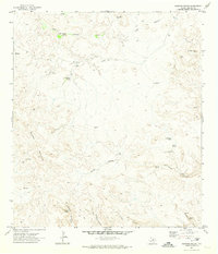
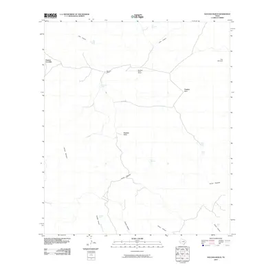 2010 Sauceda Ranch2010 Print · USGSCovers Papalote Seco, including Papalote Escondido - Destroyed, Papalote Llano, and other nearby areas
 - 2012 Map of Sauceda Ranch, 2012 Print
 2012 Sauceda Ranch2012 Print · USGSCovers Papalote Seco, including Papalote Escondido - Destroyed, Papalote Llano, and other nearby areas
 - 2016 Map of Sauceda Ranch, 2016 Print
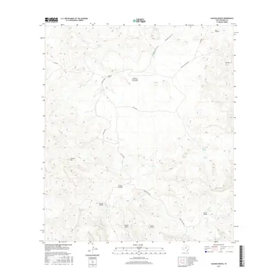 2016 Sauceda Ranch2016 Print · USGSCovers Papalote Seco, including Papalote Escondido - Destroyed, Papalote Llano, and other nearby areas
 - 2019 Map of Sauceda Ranch, 2019 Print
 2019 Sauceda Ranch2019 Print · USGSCovers Papalote Seco, including Papalote Escondido - Destroyed, Papalote Llano, and other nearby areas
 - 2022 Map of Sauceda Ranch, 2022 Print
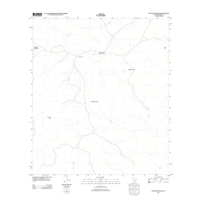
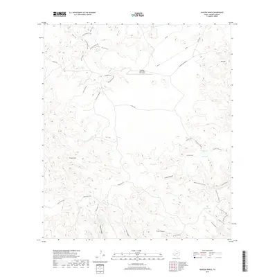
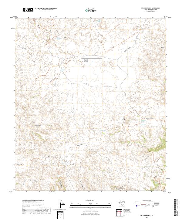 2022 Sauceda Ranch2022 Print · USGSPresidio County ranchland is mapped here in the early twenty-first century, showing a landscape defined by remote springs and rugged trails. Researchers can trace historic water sources like Ojo Mexicano and Madrid Falls or locate the Big Bend Ranch State Park Airport.
End of results
Showing maps 1-12 of 12
Top cities near Papalote Seco
Frequently asked questions
- What are the different types of historical maps available for Papalote Seco?
- What is the oldest map of Papalote Seco?
- Where can I purchase historical maps of Papalote Seco for my home or office?
- Where can I download high-res historical maps of Papalote Seco?
- Are there historical topographic maps available for Papalote Seco?
- Is there historical aerial imagery available for Papalote Seco?
- Where are historical maps of Papalote Seco sourced from?