Old Maps of Toyah, Texas
Explore 10 old maps of Toyah, spanning from 1921 to today. These high-resolution historic maps reveal how streets, neighborhoods, landmarks, and natural features evolved over time — perfect for genealogy, metal detecting, research, and local history exploration.
What you can do with these maps:
- See how Toyah changed over time: Compare historical maps to modern-day views to trace roads, homesites, rail lines & more.
- View detailed metadata: Each map includes creators, publishers, year, scale, and archive source.
- Overlay maps with satellite & LiDAR: Visualize the past alongside modern tools to explore terrain & human change.
- Trusted historical sources: Maps sourced from the USGS, Library of Congress, and other archives.
- Access maps your way: View online, download high-res files, or order prints for personal or research use.
Start exploring old maps of Toyah to uncover forgotten places, hidden landmarks, and the deep history beneath your feet.
Toyah, TX maps
(10)- 1921 Map of Toyah
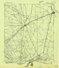 1921 Toyah1921 Print · USGSReeves County at the dawn of the highway era is documented here, showing the junction of major rail lines and early transcontinental motor routes. Researchers can trace family ranching history and railroad development through Toyah, Saragosa, and the VR Ranch.
 - 1954 Map of Pecos, 1964 Print
 1954 Pecos1964 Print · USGSMid-century West Texas reveals a landscape of expanding oil fields and cattle ranching along the winding Pecos River. Local historians can trace family ranch lands like Goodrich Ranch, follow the Texas and Pacific rails, or locate the historic Horsehead Crossing.3 unique versions available
 - 1957 Map of Pecos
 1957 Pecos1957 Print · USGSWest Texas in the mid-fifties is a landscape of desert oil fields and vital rail corridors. Researchers can trace the sprawling Pyote Air Force Base, the historic Horsehead Crossing, and the rail stops at Mentone and Saragosa.
 - 1970 Map of Toyah, 1973 Print
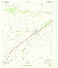 1970 Toyah1973 Print · USGSSettled on the Texas and Pacific rail line in the 1970s, Toyah serves as a focal point for this Reeves County study. Genealogists and historians can trace local landmarks like Toyah Old Cem, Bullington Hill, and the Mexican Corl.
 - 1986 Map of Pecos
 1986 Pecos1986 Print · USGSWest Texas in the mid-eighties reveals a landscape of desert draws and growing energy infrastructure centered on the Pecos River. Researchers can trace old rail lines, family burials at Mount Evergreen Cem, and rural outposts like Toyah or Saragosa.2 unique versions available
 - 2010 Map of Toyah, 2010 Print
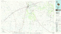
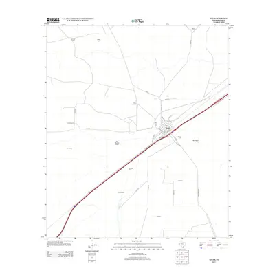
 2010 Toyah2010 Print · USGSCovers Toyah, including Reeves County, United States, and other nearby areas
 - 2013 Map of Toyah, 2013 Print
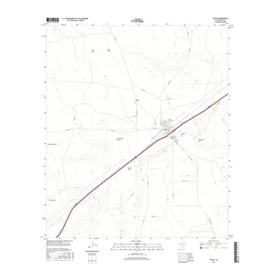
 2013 Toyah2013 Print · USGSCovers Toyah, including Reeves County, United States, and other nearby areas
 - 2016 Map of Toyah, 2016 Print
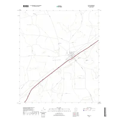
 2016 Toyah2016 Print · USGSCovers Toyah, including Reeves County, United States, and other nearby areas
 - 2019 Map of Toyah, 2019 Print
 2019 Toyah2019 Print · USGSCovers Toyah, including Reeves County, United States, and other nearby areas
 - 2022 Map of Toyah, 2022 Print
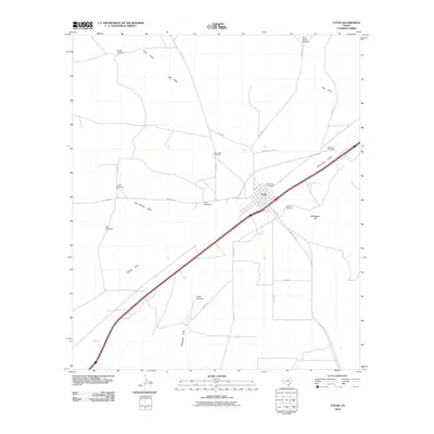
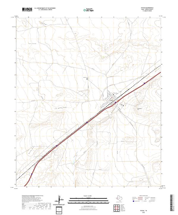 2022 Toyah2022 Print · USGSToyah and the surrounding Reeves County landscape are documented here in the early twenty-first century as the town maintains its role as a West Texas crossroads. Researchers can trace local lineage at the Toyah Old Cem and follow the paths of Billingslea Draw and Salt Draw.
End of results
Showing maps 1-10 of 10
Frequently asked questions
- What are the different types of historical maps available for Toyah?
- What is the oldest map of Toyah?
- Where can I purchase historical maps of Toyah for my home or office?
- Where can I download high-res historical maps of Toyah?
- Are there historical topographic maps available for Toyah?
- Is there historical aerial imagery available for Toyah?
- Where are historical maps of Toyah sourced from?