Old Maps of Wayside, Texas
Explore 9 old maps of Wayside, spanning from 1954 to today. These high-resolution historic maps reveal how streets, neighborhoods, landmarks, and natural features evolved over time — perfect for genealogy, metal detecting, research, and local history exploration.
What you can do with these maps:
- See how Wayside changed over time: Compare historical maps to modern-day views to trace roads, homesites, rail lines & more.
- View detailed metadata: Each map includes creators, publishers, year, scale, and archive source.
- Overlay maps with satellite & LiDAR: Visualize the past alongside modern tools to explore terrain & human change.
- Trusted historical sources: Maps sourced from the USGS, Library of Congress, and other archives.
- Access maps your way: View online, download high-res files, or order prints for personal or research use.
Start exploring old maps of Wayside to uncover forgotten places, hidden landmarks, and the deep history beneath your feet.
Wayside, TX maps
(9)- 1954 Map of Amarillo, 1966 Print
 1954 Amarillo1966 Print · USGSThe Texas Panhandle in the mid-1960s shows a landscape of rising industrial power and deep-rooted ranching tradition. Local historians can trace the paths of the Panhandle and Santa Fe railroad or locate sites like the Pantex Ordnance Plant and Mobeetie.2 unique versions available
 - 1958 Map of Amarillo
 1958 Amarillo1958 Print · USGSThe Texas Panhandle in the mid-1950s reveals a landscape of expanding military installations and oil-rich rail towns. Local historians can trace the development of Amarillo Air Force Base or locate smaller settlements like Magic City and New Mobeetie.
 - 1971 Map of Pampa NW, 1974 Print
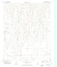 1971 Pampa NW1974 Print · USGSThe Texas Panhandle reveals its deep-cut creek beds and energy infrastructure in the early seventies. Genealogists and local historians can locate the Wayside Community Center, Red School 2, and the networks of PIPELINE and water wells.
 - 1982 Map of Pampa, 1983 Print
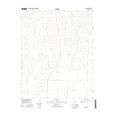
 1982 Pampa1983 Print · USGSThe Texas Panhandle in the early eighties shows a landscape shaped by petroleum and ranching along the Canadian River. Genealogists and local historians can trace the paths of the Atchison Topeka and Santa Fe railroad through Pampa, Mobeetie, and Heaton.
 - 2010 Map of Pampa NW, 2010 Print
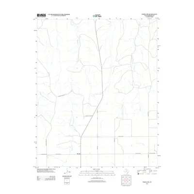
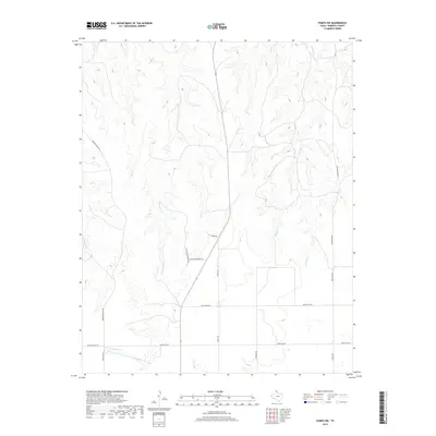
 2010 Pampa NW2010 Print · USGSCovers Wayside, including Roberts County, United States, and other nearby areas
 - 2012 Map of Pampa NW, 2012 Print
 2012 Pampa NW2012 Print · USGSCovers Wayside, including Roberts County, United States, and other nearby areas
 - 2016 Map of Pampa NW, 2016 Print
 2016 Pampa NW2016 Print · USGSCovers Wayside, including Roberts County, United States, and other nearby areas
 - 2019 Map of Pampa NW, 2019 Print
 2019 Pampa NW2019 Print · USGSCovers Wayside, including Roberts County, United States, and other nearby areas
 - 2022 Map of Pampa NW, 2022 Print
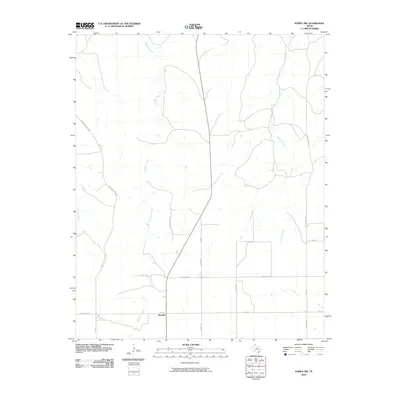
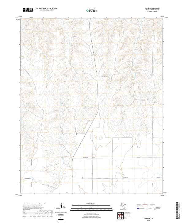 2022 Pampa NW2022 Print · USGSRoberts County ranching country is shown here in the modern era, where seasonal watercourses like Tallahone Cr define the land. Local historians can trace family-named routes such as Morrison Ranch Rd and the old corridors of Mail Route Rd.
End of results
Showing maps 1-9 of 9
Top cities near Wayside
Frequently asked questions
- What are the different types of historical maps available for Wayside?
- What is the oldest map of Wayside?
- Where can I purchase historical maps of Wayside for my home or office?
- Where can I download high-res historical maps of Wayside?
- Are there historical topographic maps available for Wayside?
- Is there historical aerial imagery available for Wayside?
- Where are historical maps of Wayside sourced from?