Old Maps of Sexton, Texas for Academic Research
Study the evolution of Sexton with 12 high-resolution historic maps. Whether you're teaching, researching, or modeling changes in land use, these maps provide essential visual documentation of urban, environmental, and geographic change.
- Analyze long-term change: Track patterns in development, transportation, and natural features.
- Ideal for environmental or urban studies: Support academic projects with primary historical map data.
- Use in the classroom or lab: Educators and researchers rely on these maps to bring historical context to life.
These maps are a powerful tool for teaching, research, and visualizing how Sexton has changed over the decades.
Sexton, TX maps
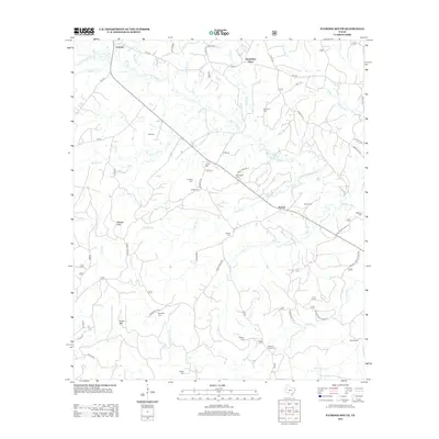
(12)- 1944 Map of Patroon
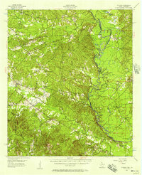
 1944 Patroon1944 Print · USGSThe Sabine River bottomlands at the Texas-Louisiana border come to life in this mid-century survey of Shelby County. Researchers can locate vanished landmarks like the Patroon CCC Camp, rural stores at Jordans Store, and local gathering places like Beech Grove Ch.2 unique versions available
 - 1953 Map of Alexandria, 1963 Print
 1953 Alexandria1963 Print · USGSCentral Louisiana during the early fifties is mapped here at the intersection of the piney woods and the Red River valley. Genealogists and historians can trace the rail-and-river network connecting towns like Alexandria, Natchitoches, and the grounds of Camp Beauregard.3 unique versions available
 - 1955 Map of Alexandria
 1955 Alexandria1955 Print · USGSCentral Louisiana in the mid-fifties is a landscape of river-port cities, sprawling timberlands, and massive military reservations. Genealogists and historians can trace the rail networks of the Texas & Pacific RR and locate sites like Camp Polk Military Reservation and Natchitoches.
 - 1956 Map of Patroon, 1957 Print
 1956 Patroon1957 Print · USGSThe Texas-Louisiana borderlands along the Sabine River are captured here in the mid-1950s, showing a landscape of river bends and pine forests. Genealogists can trace family footprints through rural sites like Bulls Ankle, Ragtown, and Harvey Cem.4 unique versions available
 - 1984 Map of Patroon South, 1985 Print
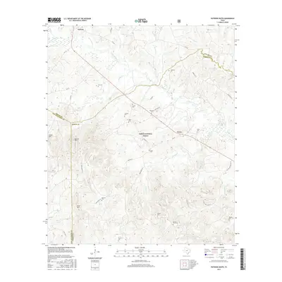
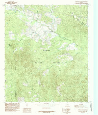 1984 Patroon South1985 Print · USGSEast Texas timberlands and local bayous define the landscape during the mid-1980s as the regional economy centers on the forest. Researchers can locate family landmarks in Patroon, trace the drainage of Patroon Bayou, and explore the wooded heights of the Matlock Hills.
 - 1986 Map of Natchitoches
 1986 Natchitoches1986 Print · USGSNorthwestern Louisiana during the mid-eighties shows a landscape shaped by major water projects and timberlands. Researchers can trace historic routes like the Old Spanish Trail or locate rural communities such as Fort Jesup, Fairview Alpha, and Grappes Bluff.2 unique versions available
 - 2003 Map of Patroon South, 2004 Print
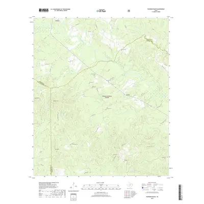
 2003 Patroon South2004 Print · USGSDeep in East Texas during the early 2000s, this forest-heavy landscape reveals the rural settlements and family burial grounds of the border counties. Genealogists can trace sites like Black Ankle, New Jerusalem Ch, and Sweet Cem.
 - 2010 Map of Patroon South, 2010 Print
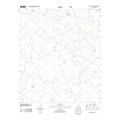 2010 Patroon South2010 Print · USGSCovers Sexton, including Patroon, Alexanders Store, and other nearby areas
 - 2012 Map of Patroon South, 2012 Print
 2012 Patroon South2012 Print · USGSCovers Sexton, including Patroon, Alexanders Store, and other nearby areas
 - 2016 Map of Patroon South, 2016 Print
 2016 Patroon South2016 Print · USGSCovers Sexton, including Patroon, Alexanders Store, and other nearby areas
 - 2019 Map of Patroon South, 2019 Print
 2019 Patroon South2019 Print · USGSCovers Sexton, including Patroon, Alexanders Store, and other nearby areas
 - 2022 Map of Patroon South, 2022 Print
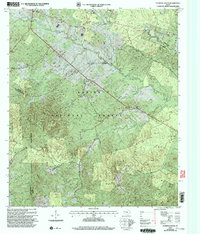
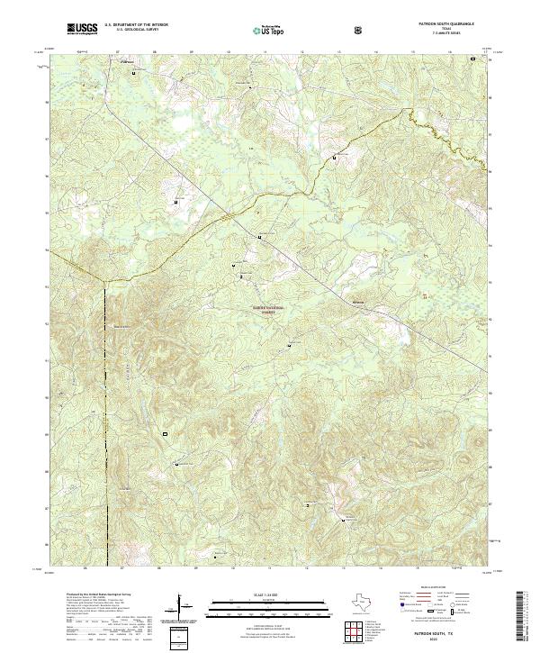 2022 Patroon South2022 Print · USGSDeep within East Texas in the 2020s, this area showcases the intersections of Shelby and San Augustine counties. Genealogists can trace family names at numerous local burial sites like Patroon Cem, Dunnigan Cem, and Bickley Cem.
End of results
Showing maps 1-12 of 12
Top cities near Sexton
- San Augustine historical maps
- Hemphill historical maps
- Converse historical maps
- Huxley historical maps
- Noble historical maps
Frequently asked questions
- What are the different types of historical maps available for Sexton?
- What is the oldest map of Sexton?
- Where can I purchase historical maps of Sexton for my home or office?
- Where can I download high-res historical maps of Sexton?
- Are there historical topographic maps available for Sexton?
- Is there historical aerial imagery available for Sexton?
- Where are historical maps of Sexton sourced from?