Old Maps of San Augustine, Texas for Genealogy
Trace your family roots with 19 historic maps of San Augustine. These high-res maps reveal old neighborhoods, homesites, landmarks, and streets — helping you uncover where your ancestors lived and how the area evolved over time.
- Explore historic neighborhoods: Identify where your relatives may have lived in the 1800s or 1900s.
- Compare maps over time: Trace the changes in streets, buildings, and landmarks for multi-generational research.
- Perfect for genealogy & ancestry research: Used by family historians and researchers to map out lineage and migration.
These maps are an incredible resource for exploring your personal connection to San Augustine's past.
San Augustine, TX maps
(19)- 1953 Map of Palestine, 1964 Print
 1953 Palestine1964 Print · USGSEast Texas was defined by its deep pine forests and burgeoning energy sector in the mid-1950s. Genealogists and historians can trace the rail-and-river economy through settlements like Tennessee Colony and Pollok or explore the early footprints of the Cayuga Oil Field and Davy Crockett National Forest.2 unique versions available
 - 1957 Map of Palestine
 1957 Palestine1957 Print · USGSEast Texas in the mid-fifties reveals a landscape of deep pine forests and winding river valleys before the era of massive reservoir construction. Researchers can trace the legacy of the timber and rail industries through labels for the Missouri Pacific RR, Davy Crockett National Forest, and Nacogdoches.
 - 1958 Map of San Augustine, 1959 Print
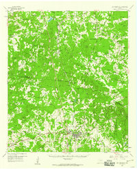 1958 San Augustine1959 Print · USGSSan Augustine County in the late fifties was a landscape of timber and tradition, where El Camino Real still traced its ancient path. Genealogists can locate dozens of rural landmarks, from Bland Lake to the Chumley Cem and Neuville Sch.2 unique versions available
 - 1984 Map of Palestine
 1984 Palestine1984 Print · USGSEast Texas in the mid-eighties reveals a landscape of massive reservoirs and protected timberlands between Palestine and Nacogdoches. Researchers can trace old routes like the Missouri Pacific RR and locate rural communities such as Tennessee Colony, Latexo, and Etoile.3 unique versions available
 - 1984 Map of San Augustine East, 1985 Print
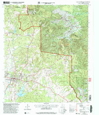
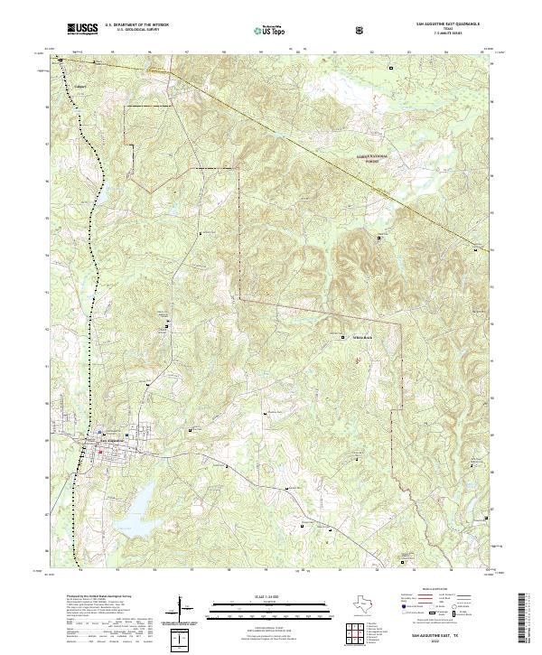
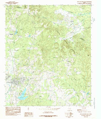 1984 San Augustine East1985 Print · USGSSan Augustine and the surrounding timberlands are captured here in the early 1980s as the town grew toward the forest edge. Researchers can trace rural lineages through local place names like Black Ankle, Lanetown, and White Rock.
 - 1984 Map of San Augustine West, 1985 Print
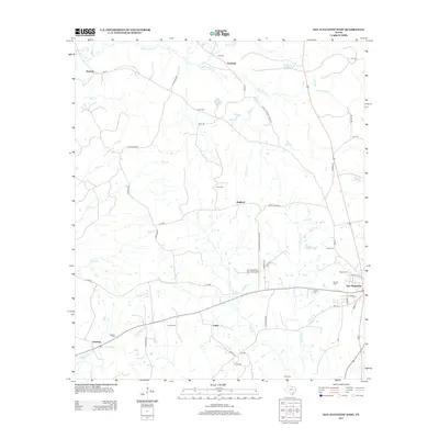
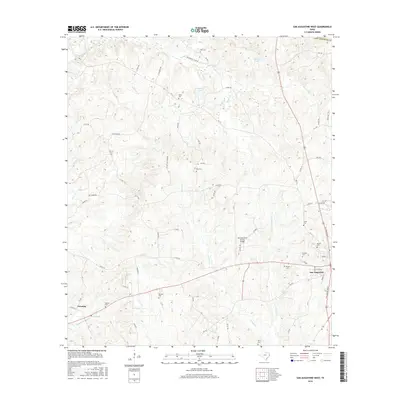
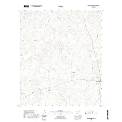
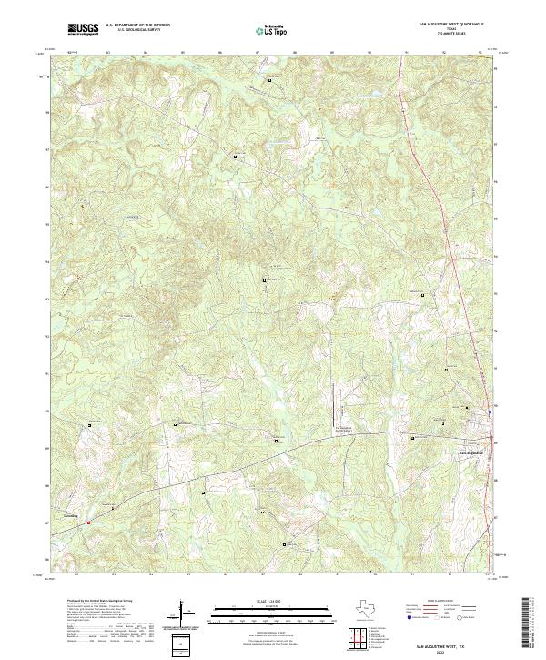
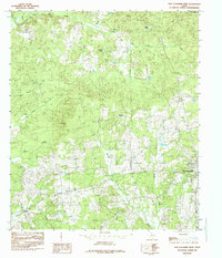 1984 San Augustine West1985 Print · USGSSan Augustine County in the early eighties remains a landscape of dense woods and small rural outposts. Genealogists can trace family roots through the scattered sites of Ironosa, Denning, and Union Ch along the banks of Big Iron Ore Creek.
 - 1986 Map of Nacogdoches
 1986 Nacogdoches1986 Print · USGSDeep in the East Texas Piney Woods during the mid-eighties, this landscape centers on Nacogdoches and the sprawling Toledo Bend Reservoir. Genealogists can trace family footprints at Sulphur Springs Cem, Oak Grove Ch, and the many small settlements like Reklaw and Sacul.
 - 1992 Map of Nacogdoches
 1992 Nacogdoches1992 Print · USGSEast Texas timberlands and river valleys are captured here in the early nineties, centered on the historic regional hub of Nacogdoches. Trace family roots and old rail lines through Cushing, San Augustine, and Logansport along the Southern Pacific RR.
 - 2003 Map of San Augustine East, 2004 Print
 2003 San Augustine East2004 Print · USGSSan Augustine and the surrounding timberlands of East Texas are documented here in the early 2000s. Genealogists and local historians can trace rural family sites like Whitton Cem, Mt Horeb Ch, and the small settlement of Black Ankle.
 - 2010 Map of San Augustine West, 2010 Print
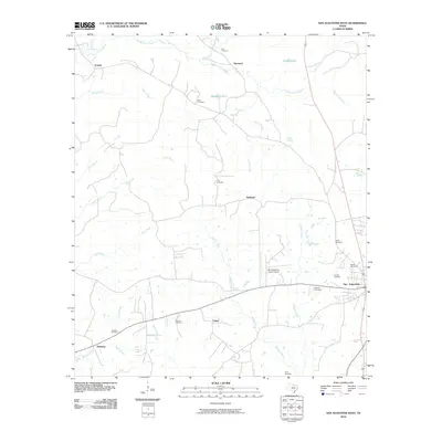 2010 San Augustine West2010 Print · USGSCovers San Augustine, including Redland, Denning, and other nearby areas
 - 2010 Map of San Augustine East, 2010 Print
 2010 San Augustine East2010 Print · USGSCovers San Augustine, including Chumley, Sunrise, and other nearby areas
 - 2013 Map of San Augustine East, 2013 Print
 2013 San Augustine East2013 Print · USGSCovers San Augustine, including Chumley, Sunrise, and other nearby areas
 - 2013 Map of San Augustine West, 2013 Print
 2013 San Augustine West2013 Print · USGSCovers San Augustine, including Redland, Denning, and other nearby areas
 - 2016 Map of San Augustine West, 2016 Print
 2016 San Augustine West2016 Print · USGSCovers San Augustine, including Redland, Denning, and other nearby areas
 - 2016 Map of San Augustine East, 2016 Print
 2016 San Augustine East2016 Print · USGSCovers San Augustine, including Chumley, Sunrise, and other nearby areas
 - 2019 Map of San Augustine West, 2019 Print
 2019 San Augustine West2019 Print · USGSCovers San Augustine, including Redland, Denning, and other nearby areas
 - 2019 Map of San Augustine East, 2019 Print
 2019 San Augustine East2019 Print · USGSCovers San Augustine, including Chumley, Sunrise, and other nearby areas
 - 2022 Map of San Augustine West, 2022 Print
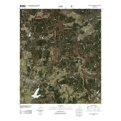
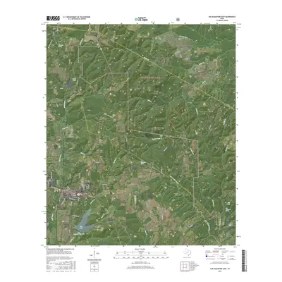
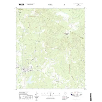
 2022 San Augustine West2022 Print · USGSDeep in the piney woods of East Texas, this modern survey captures the landscape around San Augustine as it appeared in the early 2020s. Genealogists can trace family heritage through nearly a dozen burial sites, including Holt Cem, Redlands Cem, and Shiloh Cem.
 - 2022 Map of San Augustine East, 2022 Print
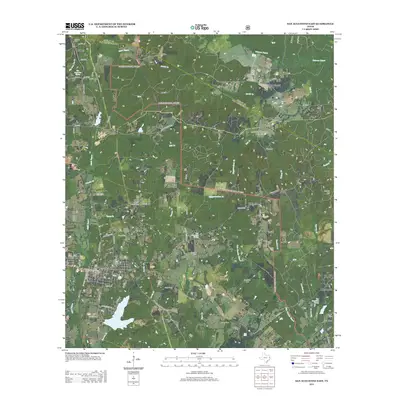
 2022 San Augustine East2022 Print · USGSSan Augustine and the surrounding timberlands are documented here in the early twenty-first century. Genealogists can trace family heritage through dozens of local sites like the San Augustine City Cem, Antioch Cem, and Mount Dena Baptist Church Cem.
End of results
Showing maps 1-19 of 19
Top cities near San Augustine
Frequently asked questions
- What are the different types of historical maps available for San Augustine?
- What is the oldest map of San Augustine?
- Where can I purchase historical maps of San Augustine for my home or office?
- Where can I download high-res historical maps of San Augustine?
- Are there historical topographic maps available for San Augustine?
- Is there historical aerial imagery available for San Augustine?
- Where are historical maps of San Augustine sourced from?