Old Maps of Brickel, Texas for Hiking & Exploration
Hike through history with 10 historic maps of Brickel. Explore old trails, ghost towns, and forgotten backroads — perfect for outdoor adventurers and local explorers.
- Rediscover forgotten places: Map out old mining camps, roads, and footpaths that no longer exist on modern maps.
- Layer with modern tools: Combine with LiDAR or satellite views to plan hikes through historical terrain.
- Made for exploration: Popular among hikers, overlanders, and local history lovers.
Use these maps to find adventure and explore the hidden past of Brickel.
Brickel, TX maps
(10)- 1954 Map of Dalhart, 1967 Print
 1954 Dalhart1967 Print · USGSThe High Plains at the junction of four states come alive in the mid-fifties, showing a landscape of rail-hub towns and cattle country. Trace the Old Santa Fe Trail or locate mid-century industrial sites like the Dry ice plant and Carbon Dioxide Works.2 unique versions available
 - 1958 Map of Dalhart
 1958 Dalhart1958 Print · USGSThe High Plains of the tri-state border region come alive in this mid-century survey of the ranching and rail territory around the Texas Panhandle. Genealogists and historians can trace the paths of the Atchison Topeka & Santa Fe Ry, military outposts like Dalhart Air Force No 1, and early settlements such as Pasamonte and Texline.2 unique versions available
 - 1962 Map of Dalhart
 1962 Dalhart1962 Print · USGSThe High Plains and volcanic peaks of the tri-state area are shown in detail during the early sixties. Genealogists and historians can trace the rail corridors of the Fort Worth and Denver and find industrial sites like the Cactus Ordnance Works or the Beaver Meade & Englewood Grain Elevator.
 - 1964 Map of Brickel, 1966 Print
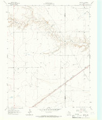 1964 Brickel1966 Print · USGSThe high plains of the Texas Panhandle near the Sherman County line are captured in the mid-sixties. Researchers can trace the path of the Chicago Rock Island and Pacific railroad and the winding course of Coldwater Creek.
 - 1998 Map of Brickel, 2001 Print
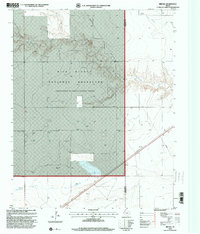 1998 Brickel2001 Print · USGSThe high plains of the Texas Panhandle appear here in the late nineties, where the Rita Blanca National Grassland meets the Sherman County line. Researchers can trace the layout of sparse settlements like Brickel and Flores alongside ranching infrastructure and a labeled Quarry.
 - 2010 Map of Brickel, 2010 Print
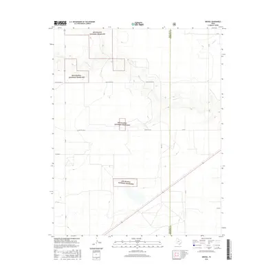
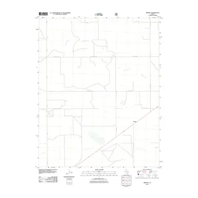 2010 Brickel2010 Print · USGSCovers Brickel, including Dallam County, Sherman County, and other nearby areas
 - 2012 Map of Brickel, 2012 Print
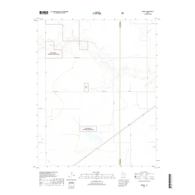
 2012 Brickel2012 Print · USGSCovers Brickel, including Dallam County, Sherman County, and other nearby areas
 - 2016 Map of Brickel, 2016 Print
 2016 Brickel2016 Print · USGSCovers Brickel, including Dallam County, Sherman County, and other nearby areas
 - 2019 Map of Brickel, 2019 Print
 2019 Brickel2019 Print · USGSCovers Brickel, including Dallam County, Sherman County, and other nearby areas
 - 2022 Map of Brickel, 2022 Print
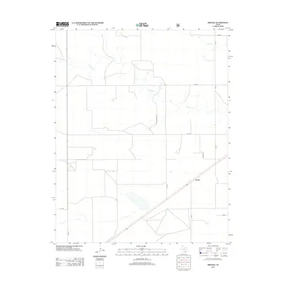
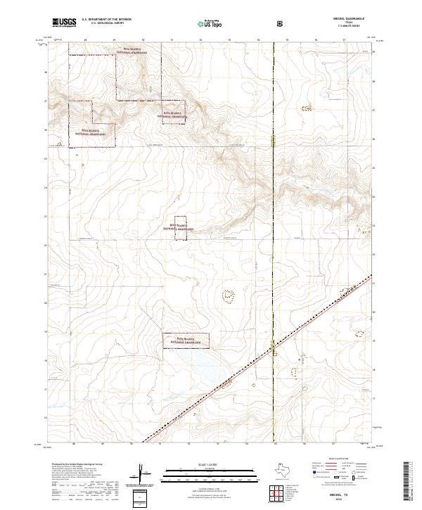 2022 Brickel2022 Print · USGSDallam County ranchlands and public prairies are surveyed here during the early twenty-first century. Researchers can trace land parcels and ephemeral watercourses including Coldwater Cr, Frisco Cr, and the distinctive Rita Blanca National Grassland.
End of results
Showing maps 1-10 of 10
Top cities near Brickel
Frequently asked questions
- What are the different types of historical maps available for Brickel?
- What is the oldest map of Brickel?
- Where can I purchase historical maps of Brickel for my home or office?
- Where can I download high-res historical maps of Brickel?
- Are there historical topographic maps available for Brickel?
- Is there historical aerial imagery available for Brickel?
- Where are historical maps of Brickel sourced from?