Old Maps of Salem, Texas for Metal Detecting
Plan your next treasure hunt with 12 historic maps of Salem. Find old homesites, ghost towns, trails, and gathering spots that may be lost to time — perfect for identifying promising metal detecting locations.
- Locate forgotten sites: Uncover places like long-lost settlements, abandoned rail lines, or gathering spots.
- Plan better hunts: Use map overlays combined with LiDAR or satellite views to narrow in on historically rich areas.
- Made for detectorists: Thousands of hobbyists use these maps to discover relics, coins, and hidden history.
Use these historic maps to boost your research and find new opportunities beneath the surface of Salem.
Salem, TX maps
(12)- 1937 Map of Troupe
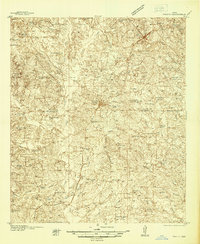 1937 Troupe1937 Print · USGSEast Texas oil and rail culture are on full display in the 1930s as the Missouri Pacific railroad connects rural communities. Local historians can trace the foundations of the regional economy through sites like the Sun Oil Camp, St Clair City, and Henry's Chapel.
 - 1943 Map of Troup
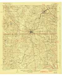 1943 Troup1943 Print · USGSEast Texas agriculture and rail towns thrive in the late 1930s along the Smith and Cherokee County line. Family historians can trace rural roots through numerous landmarks like Tecula Cem, Walnut Grove Ch, and Enterprise Sch.3 unique versions available
 - 1956 Map of Tyler
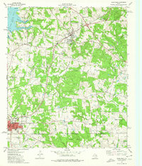
 1956 Tyler1956 Print · USGSEast Texas was a powerhouse of oil production and rail transport during the mid-fifties, centered on the sprawling East Texas Oil Field. Researchers can trace the heritage of industrial hubs like Kilgore, military sites such as the Longhorn Ordnance Works, and many rural landmarks like Mount Enterprise.5 unique versions available
 - 1973 Map of Troup East, 1976 Print
 1973 Troup East1976 Print · USGSEast Texas in the early seventies was a landscape where petroleum production met quiet rural life. Genealogists and historians can trace the family landmarks of Sinclair City and Arp alongside numerous sites like Shiloh Cem and Mason Ch.
 - 1984 Map of Tyler
 1984 Tyler1984 Print · USGSEast Texas at the peak of its reservoir-building era shows a landscape defined by new lakes and established rail corridors. Trace the path of the St Louis Southwestern RR or locate industrial sites like the Longhorn Ordnance Works.3 unique versions available
 - 1985 Map of Tyler
 1985 Tyler1985 Print · USGSEast Texas in the mid-eighties centers on the growth of Tyler and the expansive waters of Lake Palestine. Genealogists and researchers can trace family landmarks like Henry's Chapel and Browning Cem alongside the routes of the Southern Pacific RR.
 - 1991 Map of Tyler
 1991 Tyler1991 Print · USGSEast Texas in the early nineties centered on the expansion of Tyler and the recreational draw of Lake Palestine. Researchers can trace the layout of smaller communities like Ben Wheeler, Frankston, and Troup as they existed before modern suburban growth.
 - 2010 Map of Troup East, 2010 Print
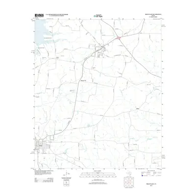
 2010 Troup East2010 Print · USGSCovers Salem, including Troup, Arp, and other nearby areas
 - 2012 Map of Troup East, 2012 Print
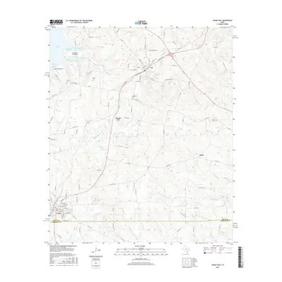
 2012 Troup East2012 Print · USGSCovers Salem, including Troup, Arp, and other nearby areas
 - 2016 Map of Troup East, 2016 Print
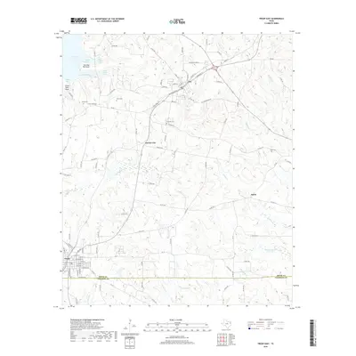
 2016 Troup East2016 Print · USGSCovers Salem, including Troup, Arp, and other nearby areas
 - 2019 Map of Troup East, 2019 Print
 2019 Troup East2019 Print · USGSCovers Salem, including Troup, Arp, and other nearby areas
 - 2022 Map of Troup East, 2022 Print
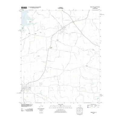
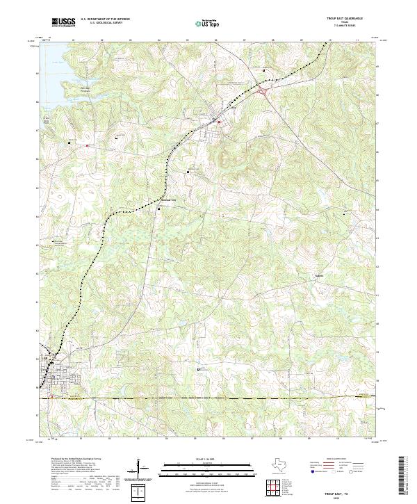 2022 Troup East2022 Print · USGSEast Texas hill country at the Smith and Cherokee County line reveals a landscape of small settlements and numerous family burial grounds. Genealogists can trace family roots at Bradford Cem and Liberty Cem or explore the shoreline of Lake Tyler.
End of results
Showing maps 1-12 of 12
Top cities near Salem
- Tyler historical maps
- Jacksonville historical maps
- Kilgore historical maps
- Henderson historical maps
- Whitehouse historical maps
- Overton historical maps
See more
Frequently asked questions
- What are the different types of historical maps available for Salem?
- What is the oldest map of Salem?
- Where can I purchase historical maps of Salem for my home or office?
- Where can I download high-res historical maps of Salem?
- Are there historical topographic maps available for Salem?
- Is there historical aerial imagery available for Salem?
- Where are historical maps of Salem sourced from?