Old Maps of La Grulla, Texas for Metal Detecting
Plan your next treasure hunt with 21 historic maps of La Grulla. Find old homesites, ghost towns, trails, and gathering spots that may be lost to time — perfect for identifying promising metal detecting locations.
- Locate forgotten sites: Uncover places like long-lost settlements, abandoned rail lines, or gathering spots.
- Plan better hunts: Use map overlays combined with LiDAR or satellite views to narrow in on historically rich areas.
- Made for detectorists: Thousands of hobbyists use these maps to discover relics, coins, and hidden history.
Use these historic maps to boost your research and find new opportunities beneath the surface of La Grulla.
La Grulla, TX maps
(21)- 1949 Map of Mc Allen, 1954 Print
 1949 Mc Allen1954 Print · USGSThe Rio Grande Valley at mid-century reveals a bustling international corridor of citrus groves, rail lines, and growing border towns. Genealogists and historians can trace the Missouri Pacific RR through McAllen or locate rural landmarks like the Santa Fe School and Arkansas City.
 - 1954 Map of McAllen
 1954 McAllen1954 Print · USGSCovers La Grulla, including Reynosa, McAllen, and other nearby areas
 - 1956 Map of Garcias
 1956 Garcias1956 Print · USGSThe Rio Grande borderlands of South Texas are captured here during the mid-twentieth century as the regional ranching economy flourished. Researchers can trace ancestral family lands like the Stephen Garcia Ranch or locate vanished sites including the Brick Yard and La Grulla Sta.
 - 1957 Map of Mc Allen, 1962 Print
 1957 Mc Allen1962 Print · USGSThe South Texas borderlands emerge in the late fifties as a hub of energy production and military activity. Researchers can trace the river economy through Rio Grande City, find the Brewster School, and locate the Moore Air Force Base.2 unique versions available
 - 1962 Map of McAllen
 1962 McAllen1962 Print · USGSThe Lower Rio Grande Valley in the mid-twentieth century shows a complex landscape of irrigation, oil production, and border commerce. Genealogists and historians can trace family roots through riverside towns like Zapata, Roma-Los Saenz, and Hidalgo, or locate landmarks like Santa Elena Ch and Moore Air Force Base.
 - 1965 Map of La Grulla, 1968 Print
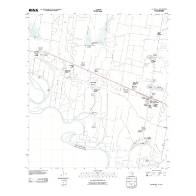
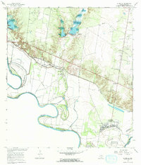 1965 La Grulla1968 Print · USGSThe Rio Grande borderlands of South Texas are captured here in the mid-sixties, showing the intricate network of river bancos and agricultural settlements. Genealogists can locate family landmarks like Solizes Cem, San Vicente Cem, and San Ignacio de Loyola.2 unique versions available
 - 1965 Map of Sullivan City, 1968 Print
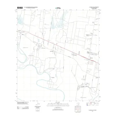
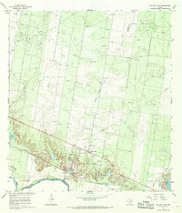 1965 Sullivan City1968 Print · USGSSullivan City and the Rio Grande borderlands come alive in the mid-sixties, showing a landscape defined by the river and the oil industry. Genealogists and historians can trace the foundations of Sullivan City and Cuevitas, or locate landmarks like San Guillermo Ch and El Faro Sch.2 unique versions available
 - 1983 Map of Mc Allen, 1984 Print
 1983 Mc Allen1984 Print · USGSThe Lower Rio Grande Valley is captured here during the early 1980s, showcasing the intense cross-border connectivity and agricultural expansion of the era. Researchers can trace the sprawling irrigation networks around Mc Allen and Mission, or locate landmarks like the Zapata Aircraft Control and Warning Station and Falcon State Park.
 - 1992 Map of Mc Allen, 1993 Print
 1992 Mc Allen1993 Print · USGSThe Lower Rio Grande Valley in the early nineties shows a dense network of border settlements and agricultural tracts. Genealogists and historians can trace the growth of Mc Allen, Mission, and Rio Grande City or locate family sites near the Yturria Oil Field.
 - 2002 Map of Sullivan City, 2003 Print
 2002 Sullivan City2003 Print · USGSSullivan City and the Rio Grande riverfront are captured here at the turn of the millennium, documenting the border landscape of Hidalgo County. Researchers can locate San Guillermo Ch, the Cemetery at Cuevitas, and the sprawling Garcia Oil Field.
 - 2002 Map of La Grulla, 2003 Print
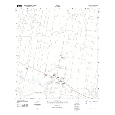
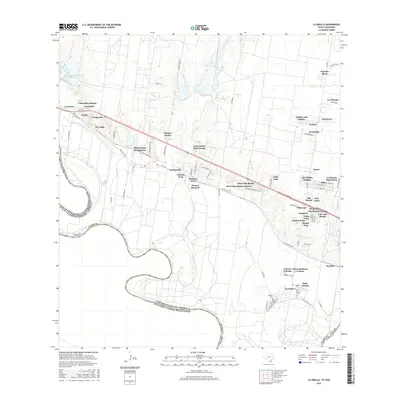
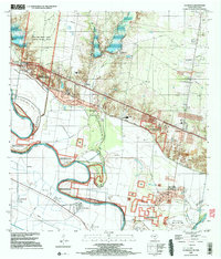 2002 La Grulla2003 Print · USGSThe Rio Grande Valley comes into sharp focus at the turn of the millennium, revealing a landscape defined by river meanders and historic cross-border settlements. Genealogists can trace family footprints through Solizes Cem, Longoria Cem, and the community hub at La Grulla.
 - 2010 Map of Sullivan City, 2010 Print
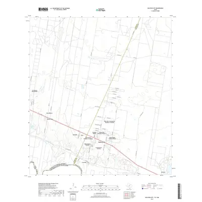
 2010 Sullivan City2010 Print · USGSCovers La Grulla, including Sullivan City, Buena Vista Colonia, and other nearby areas
 - 2010 Map of La Grulla, 2010 Print
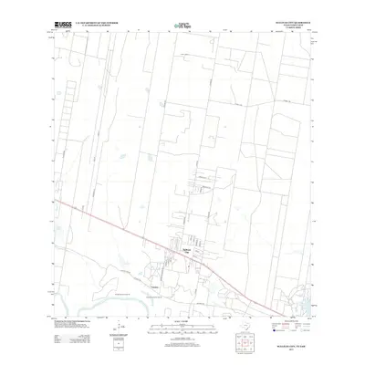
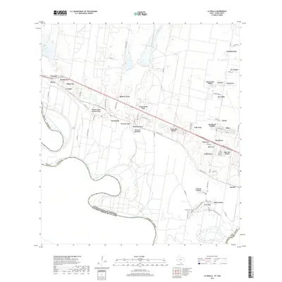
 2010 La Grulla2010 Print · USGSCovers La Grulla, including San Francisco, Puertecitos, and other nearby areas
 - 2013 Map of Sullivan City, 2013 Print
 2013 Sullivan City2013 Print · USGSCovers La Grulla, including Sullivan City, Buena Vista Colonia, and other nearby areas
 - 2013 Map of La Grulla, 2013 Print
 2013 La Grulla2013 Print · USGSCovers La Grulla, including San Francisco, Puertecitos, and other nearby areas
 - 2016 Map of Sullivan City, 2016 Print
 2016 Sullivan City2016 Print · USGSCovers La Grulla, including Sullivan City, Buena Vista Colonia, and other nearby areas
 - 2016 Map of La Grulla, 2016 Print
 2016 La Grulla2016 Print · USGSCovers La Grulla, including San Francisco, Puertecitos, and other nearby areas
 - 2019 Map of La Grulla, 2019 Print
 2019 La Grulla2019 Print · USGSCovers La Grulla, including San Francisco, Puertecitos, and other nearby areas
 - 2019 Map of Sullivan City, 2019 Print
 2019 Sullivan City2019 Print · USGSCovers La Grulla, including Sullivan City, Buena Vista Colonia, and other nearby areas
 - 2022 Map of La Grulla, 2022 Print
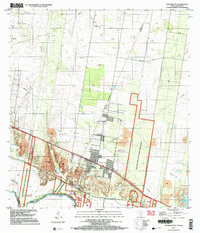
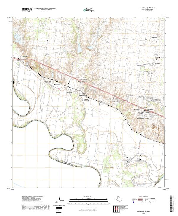 2022 La Grulla2022 Print · USGSStarr County settlements cluster along the Rio Grande corridor in this 2020s study of the Texas-Mexico borderlands. Family historians can trace local heritage through numerous burial sites like Longoria Cem and San Vicente Cem, alongside rural colonias like Garciasville.
 - 2022 Map of Sullivan City, 2022 Print
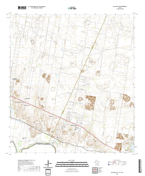 2022 Sullivan City2022 Print · USGSThe South Texas borderlands near the Rio Grande appear here in the early twenty-first century as a complex landscape of ranching roads and residential colonias. Researchers can trace family history through local landmarks like Artesitas Ranch Cem or explore the development of Sullivan City and Buena Vista.
End of results
Showing maps 1-21 of 21
Top cities near La Grulla
- Rio Grande City historical maps
- La Joya historical maps
- Sullivan City historical maps
- Peñitas historical maps
- Los Ebanos historical maps
Top neighborhoods of La Grulla
Frequently asked questions
- What are the different types of historical maps available for La Grulla?
- What is the oldest map of La Grulla?
- Where can I purchase historical maps of La Grulla for my home or office?
- Where can I download high-res historical maps of La Grulla?
- Are there historical topographic maps available for La Grulla?
- Is there historical aerial imagery available for La Grulla?
- Where are historical maps of La Grulla sourced from?