Old Maps of Eureka, Texas
Explore 11 old maps of Eureka, spanning from 1892 to today. These high-resolution historic maps reveal how streets, neighborhoods, landmarks, and natural features evolved over time — perfect for genealogy, metal detecting, research, and local history exploration.
What you can do with these maps:
- See how Eureka changed over time: Compare historical maps to modern-day views to trace roads, homesites, rail lines & more.
- View detailed metadata: Each map includes creators, publishers, year, scale, and archive source.
- Overlay maps with satellite & LiDAR: Visualize the past alongside modern tools to explore terrain & human change.
- Trusted historical sources: Maps sourced from the USGS, Library of Congress, and other archives.
- Access maps your way: View online, download high-res files, or order prints for personal or research use.
Start exploring old maps of Eureka to uncover forgotten places, hidden landmarks, and the deep history beneath your feet.
Eureka, TX maps
(11)- 1892 Map of Albany
 1892 Albany1892 Print · USGSShackelford County in the late 1880s was a landscape of emerging rail lines and river outposts. Local historians can trace the early path of the Texas Central Railroad through Albany and locate early landmarks like Fort Griffen and Mankins Mill.
 - 1893 Map of Albany
 1893 Albany1893 Print · USGSShackelford County and the surrounding cattle country are captured in the late nineteenth century during the expansion of the Texas Central Railroad. Researchers can locate the frontier site of Fort Griffen, early schools like Shady Grove Ch., and the milling operations at Mankins Mill.5 unique versions available
 - 1954 Map of Abilene, 1966 Print
 1954 Abilene1966 Print · USGSThe Texas Big Country comes into focus in the mid-1950s as petroleum and new water projects reshape the landscape. Local historians can trace the Butterfield Trail, find the Fort Phantom Hill Ruins, and locate numerous small communities along the Texas & Pacific line.2 unique versions available
 - 1958 Map of Abilene
 1958 Abilene1958 Print · USGSMid-century West Texas comes alive in this survey of the Abilene and Stephenville region during a period of steady oil expansion and military growth. Genealogists and local historians can trace the paths of the Texas & Pacific RR through historic towns, locate the Fort Griffin Ruins, and find smaller settlements like Desdemona and Lueders.
 - 1965 Map of Indian Knoll, 1967 Print
 1965 Indian Knoll1967 Print · USGSThe West Texas rangelands at the crossroads of Stephens and Eastland counties come into focus in the mid-1960s. Genealogists and researchers can trace family-named sites like Graves and explore the industrial footprint of Eureka and the Compressor Sta.
 - 1985 Map of Stamford, 1992 Print
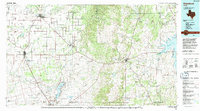 1985 Stamford1992 Print · USGSMid-century West Texas comes alive in this survey of the Brazos River country, showing a landscape defined by oil production and rail transport. Researchers can locate family landmarks like the Avoca Sch, New Hope Ch, and the frontier history at Fort Griffin State Park.
 - 2010 Map of Indian Knoll, 2010 Print
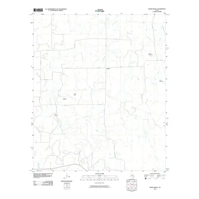 2010 Indian Knoll2010 Print · USGSStephens County ranchlands are documented here at the start of the 2010s, showing a landscape defined by seasonal creeks and rural junctions. Genealogists and local historians can trace the areas around Eureka, Dothan, and the landmark rise of Indian Knoll.
 - 2012 Map of Indian Knoll, 2012 Print
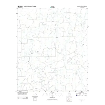 2012 Indian Knoll2012 Print · USGSStephens County, Texas, is captured here in the early 2010s as a landscape of dispersed rural settlements and seasonal waterways. Genealogists and local historians can trace the areas around Eureka, Dothan, and Red Gap, or locate landmarks like Indian Knoll.
 - 2016 Map of Indian Knoll, 2016 Print
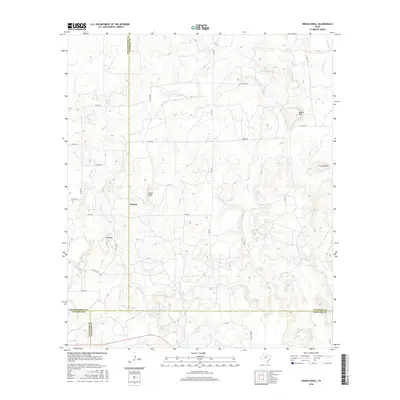 2016 Indian Knoll2016 Print · USGSThe four-county junction of Shackelford, Stephens, Callahan, and Eastland comes into focus in this recent survey of the Texas plains. Researchers can trace rural life and land use through the placement of Dothan, Red Gap, and landmarks like Indian Knoll and Brown Mtn.
 - 2019 Map of Indian Knoll, 2019 Print
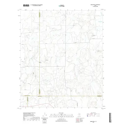 2019 Indian Knoll2019 Print · USGSCrossing the corners of four Texas counties in the late 2010s, this area preserves a rural landscape of high ridges and ranch roads. Genealogists and researchers can trace local connections near Dothan, Red Gap, and the slopes of Indian Knoll.
 - 2022 Map of Indian Knoll, 2022 Print
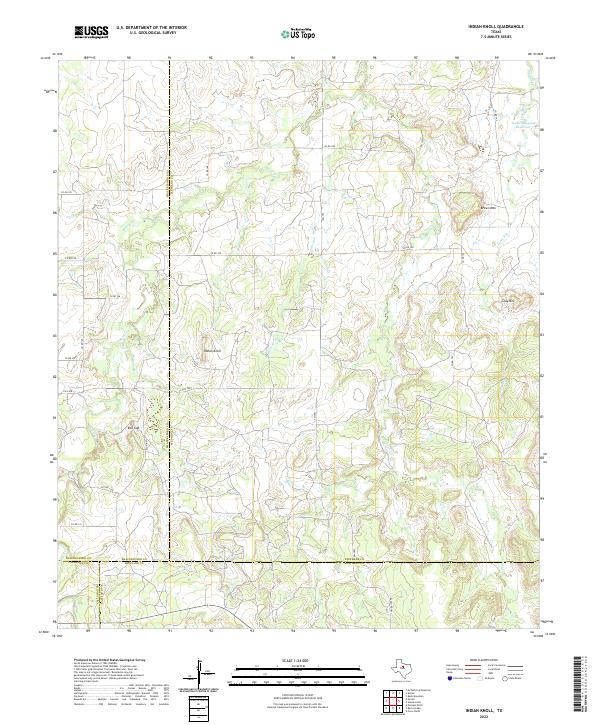 2022 Indian Knoll2022 Print · USGSThe ranchlands of West Texas where four counties meet are captured here in the early twenty-first century. Researchers can trace land boundaries and seasonal watercourses like Battle Cr while locating landmarks such as Red Gap and the Texas Company Reservoir.
End of results
Showing maps 1-11 of 11
Top cities near Eureka
- Breckenridge historical maps
- Eastland historical maps
- Cisco historical maps
- Moran historical maps
- Putnam historical maps
Frequently asked questions
- What are the different types of historical maps available for Eureka?
- What is the oldest map of Eureka?
- Where can I purchase historical maps of Eureka for my home or office?
- Where can I download high-res historical maps of Eureka?
- Are there historical topographic maps available for Eureka?
- Is there historical aerial imagery available for Eureka?
- Where are historical maps of Eureka sourced from?