Old Maps of Kiesling, Texas
Explore 13 old maps of Kiesling, spanning from 1891 to today. These high-resolution historic maps reveal how streets, neighborhoods, landmarks, and natural features evolved over time — perfect for genealogy, metal detecting, research, and local history exploration.
What you can do with these maps:
- See how Kiesling changed over time: Compare historical maps to modern-day views to trace roads, homesites, rail lines & more.
- View detailed metadata: Each map includes creators, publishers, year, scale, and archive source.
- Overlay maps with satellite & LiDAR: Visualize the past alongside modern tools to explore terrain & human change.
- Trusted historical sources: Maps sourced from the USGS, Library of Congress, and other archives.
- Access maps your way: View online, download high-res files, or order prints for personal or research use.
Start exploring old maps of Kiesling to uncover forgotten places, hidden landmarks, and the deep history beneath your feet.
Kiesling, TX maps
(13)- 1891 Map of Hayrick
 1891 Hayrick1891 Print · USGSTexas ranching country and the arrival of the iron horse meet in the 1890s as the Colorado River divides emerging frontier counties. Genealogists and historians can trace the early foundations of Hayrick and Rowena, or locate remote landmarks like Harris Ranch and the Rock Spring School House.
 - 1894 Map of Hayrick
 1894 Hayrick1894 Print · USGSWest Texas ranching and rail life come into focus in the 1890s as the frontier gives way to established counties and communities. Researchers can trace early family outposts like Harris Ranch, rural education at Rock Spring School House, and the arrival of the Gulf Colorado and Santa Fe Railway.5 unique versions available
 - 1954 Map of San Angelo, 1967 Print
 1954 San Angelo1967 Print · USGSThe Concho Valley and eastern Permian Basin transition from ranching to a burgeoning oil economy during the mid-twentieth century. Trace the expansion of San Angelo near Goodfellow AFB and locate old crossroads like Stiles, Texon, and Barnhart along the SANTA FE railroad.2 unique versions available
 - 1957 Map of Harriet, 1958 Print
 1957 Harriet1958 Print · USGSTom Green County landscape in the late fifties shows the northward reach of San Angelo and its neighboring rail-side settlements. Genealogists and historians can trace the sites of Mule Creek Cem, the Harriet Sch, and the military footprint of the Pulliam Air Force Auxiliary Airfield.2 unique versions available
 - 1958 Map of San Angelo
 1958 San Angelo1958 Print · USGSWest Texas in the late fifties centers on the growing hub of San Angelo and its vital river confluences. Genealogists and historians can trace the paths of the Santa Fe railroad to outposts like Fort Chadbourne, Big Lake, and the specialized community of Sanatorium.
 - 1965 Map of San Angelo
 1965 San Angelo1965 Print · USGSWest Texas in the mid-sixties reveals a landscape shaped by the petroleum industry and strategic water management. Genealogists and historians can trace the rail corridor through Texon and Big Lake, or locate military landmarks like Goodfellow AFB and Broome Air Force Auxiliary Airfield.
 - 1984 Map of Harriet
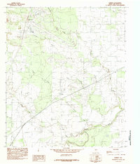 1984 Harriet1984 Print · USGSThe rural landscape of Tom Green County during the mid-eighties shows a world of ranchland and river drainages. Genealogists and researchers can trace the vicinity of Harriet and landmarks like Rattle Snake Hill, the Test Facility, and the banks of the Concho River.
 - 1986 Map of Robert Lee
 1986 Robert Lee1986 Print · USGSWest Texas ranching and oil country come into focus in the mid-eighties as the E V Spence Reservoir reshapes the landscape near Robert Lee. Researchers can trace the path of the Atchison Topeka and Santa Fe railroad through Rowena or locate the historic Fort Chadbourne.2 unique versions available
 - 2010 Map of Harriet, 2010 Print
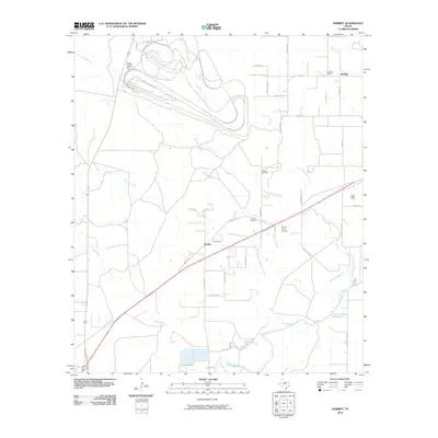 2010 Harriet2010 Print · USGSNortheast of San Angelo in the early twenty-first century, this landscape preserves the rural character of Harriet and the surrounding ranchlands. Genealogists and historians can trace local landmarks like Harriet Cemetery, Kiesling School, and the flow of Tenmile Creek.
 - 2013 Map of Harriet, 2013 Print
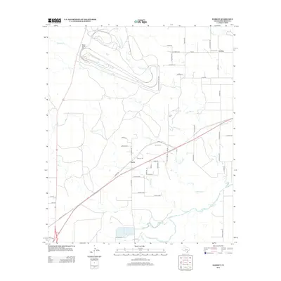 2013 Harriet2013 Print · USGSHarriet and its surrounding Tom Green County ranch lands are shown in the early twenty-first century as industrial testing and rural schools define the landscape. Researchers can trace the grounds of the Harriet School, locate Harriet Cem, and see the extensive Goodyear Proving Grounds tracks.
 - 2016 Map of Harriet, 2016 Print
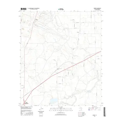 2016 Harriet2016 Print · USGSHarriet and the rural northern reaches of San Angelo are captured here during the mid-2010s. Researchers can locate the Harriet Cem and trace seasonal creek paths like Tenmile Cr and Crows Nest Cr across the landscape.
 - 2019 Map of Harriet, 2019 Print
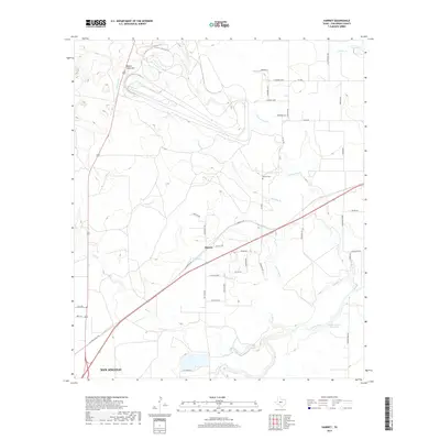 2019 Harriet2019 Print · USGSThe outskirts of San Angelo meet the open range of Tom Green County in the late 2010s. Local researchers can trace family landmarks like Harriet Cemetery and the complex drainage of Tenmile Creek and the Concho River.
 - 2022 Map of Harriet, 2022 Print
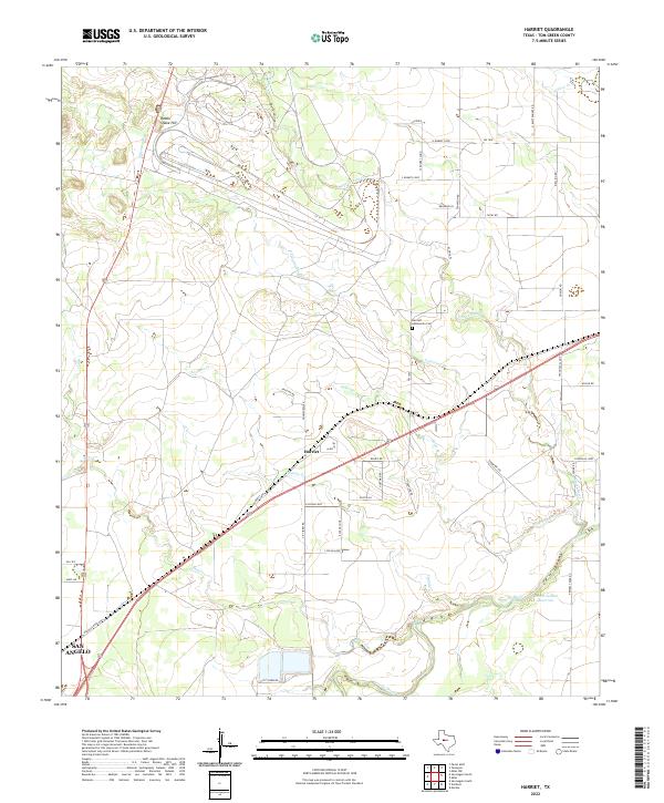 2022 Harriet2022 Print · USGSTom Green County ranch lands are captured here in the early 2020s as the area maintains its rural character northeast of the city. Genealogists and local researchers can trace family-named roads or locate the Harriett Community Cem near Harriet and Alma.
End of results
Showing maps 1-13 of 13
Top cities near Kiesling
Frequently asked questions
- What are the different types of historical maps available for Kiesling?
- What is the oldest map of Kiesling?
- Where can I purchase historical maps of Kiesling for my home or office?
- Where can I download high-res historical maps of Kiesling?
- Are there historical topographic maps available for Kiesling?
- Is there historical aerial imagery available for Kiesling?
- Where are historical maps of Kiesling sourced from?