2000s (21st Century) Maps of Josserand, Texas
Explore 6 historic maps of Josserand from the 2000s (21st Century). These maps offer a rare glimpse into what life looked like during the 2000s — showing old roads, neighborhoods, homes, and landmarks that have changed or disappeared over time.
Whether you're researching your family's past, planning a metal detecting trip, or studying how Josserand's landscape evolved across the 2000s, these high-resolution maps are a powerful tool for exploring the history of this region.
- Focus on a specific era: All maps on this page are from the 2000s, giving you a focused view of this time period.
- See what’s changed: Compare century-old streets, trails, and buildings to today's modern landscape using overlays and satellite layers.
- Research with precision: Use these maps for genealogy, historical research, land use analysis, or educational projects.
- View, download, or print: Maps are fully viewable online in high resolution, and can be downloaded or printed for your own records.
Start exploring Josserand's history through authentic maps from the 2000s. This is your window into the past.
Josserand, TX maps
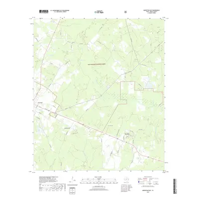
(6)- 2004 Map of Groveton East, 2006 Print
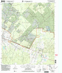 2004 Groveton East2006 Print · USGSTrinity County's piney woods and creek bottoms are documented here in the early twenty-first century as the timber industry and forest service managed the land. Local historians can trace family locations near Josserand, Woodlake, and rural sites like Sumpter Cem or Mt Olive Ch.
 - 2010 Map of Groveton East, 2010 Print
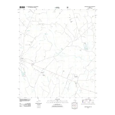 2010 Groveton East2010 Print · USGSCovers Josserand, including Groveton, Lacy, and other nearby areas
 - 2013 Map of Groveton East, 2013 Print
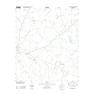 2013 Groveton East2013 Print · USGSCovers Josserand, including Groveton, Lacy, and other nearby areas
 - 2016 Map of Groveton East, 2016 Print
 2016 Groveton East2016 Print · USGSCovers Josserand, including Groveton, Lacy, and other nearby areas
 - 2019 Map of Groveton East, 2019 Print
 2019 Groveton East2019 Print · USGSCovers Josserand, including Groveton, Lacy, and other nearby areas
 - 2022 Map of Groveton East, 2022 Print
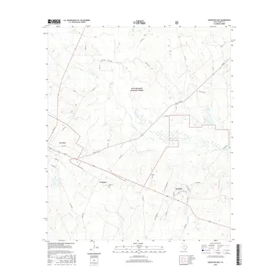
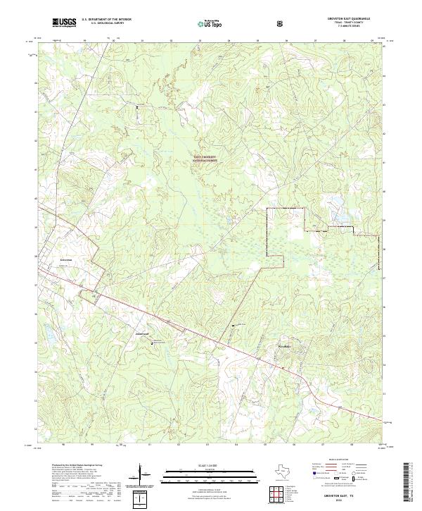 2022 Groveton East2022 Print · USGSTrinity County's timber-rich corridor comes to life in this survey of the Groveton and Woodlake areas. Historians can trace early settlement patterns through Lacy Cem, the industrial roots of Josserand, and the winding course of Kickapoo Creek as it feeds into the forest.
End of results
Showing maps 1-6 of 6
Top cities near Josserand
Frequently asked questions
- What are the different types of historical maps available for Josserand?
- What is the oldest map of Josserand?
- Where can I purchase historical maps of Josserand for my home or office?
- Where can I download high-res historical maps of Josserand?
- Are there historical topographic maps available for Josserand?
- Is there historical aerial imagery available for Josserand?
- Where are historical maps of Josserand sourced from?