Old Maps of Kadane Corner, Texas for Genealogy
Trace your family roots with 9 historic maps of Kadane Corner. These high-res maps reveal old neighborhoods, homesites, landmarks, and streets — helping you uncover where your ancestors lived and how the area evolved over time.
- Explore historic neighborhoods: Identify where your relatives may have lived in the 1800s or 1900s.
- Compare maps over time: Trace the changes in streets, buildings, and landmarks for multi-generational research.
- Perfect for genealogy & ancestry research: Used by family historians and researchers to map out lineage and migration.
These maps are an incredible resource for exploring your personal connection to Kadane Corner's past.
Kadane Corner, TX maps
(9)- 1954 Map of Wichita Falls, 1966 Print
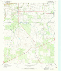
 1954 Wichita Falls1966 Print · USGSNorth Texas in the mid-fifties is captured here as a landscape of expanding oil fields and vital rail corridors. Genealogists and historians can trace family roots through rural landmarks like Bacon Chapel and the rail-side growth of Seymour and Archer City.3 unique versions available
 - 1958 Map of Wichita Falls
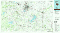
 1958 Wichita Falls1958 Print · USGSNorth Texas during the late fifties reveals a landscape defined by the booming petroleum industry and established rail hubs. Researchers can trace the development of Wichita Falls and discover rural landmarks like Barton's Chapel or the Hull-Silk Oil Field.
 - 1966 Map of Mankins, 1968 Print
 1966 Mankins1968 Print · USGSNorthern Archer County in the mid-sixties is defined by the energy and water infrastructure of the day. Researchers can trace the massive K M A Oil Field and the rail corridors of the Fort Worth and Denver near Mankins.
 - 1985 Map of Wichita Falls
 1985 Wichita Falls1985 Print · USGSWichita Falls and the surrounding North Texas oil patches are captured here during a period of established energy production and military importance. Genealogists and historians can trace family-named sites and regional hubs like Sheppard Air Force Base, Electra, and Lake Arrowhead State Park.2 unique versions available
 - 2010 Map of Mankins, 2010 Print
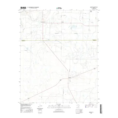
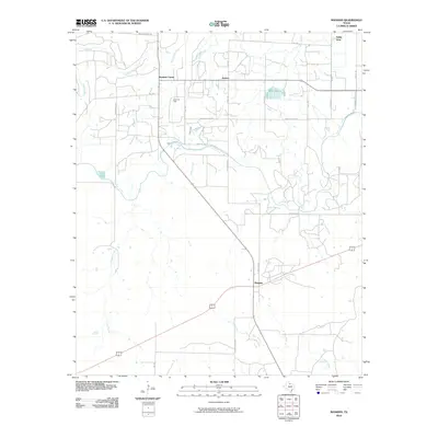 2010 Mankins2010 Print · USGSCovers Kadane Corner, including Valley View, Kamay, and other nearby areas
 - 2012 Map of Mankins, 2012 Print
 2012 Mankins2012 Print · USGSCovers Kadane Corner, including Valley View, Kamay, and other nearby areas
 - 2016 Map of Mankins, 2016 Print
 2016 Mankins2016 Print · USGSCovers Kadane Corner, including Valley View, Kamay, and other nearby areas
 - 2019 Map of Mankins, 2019 Print
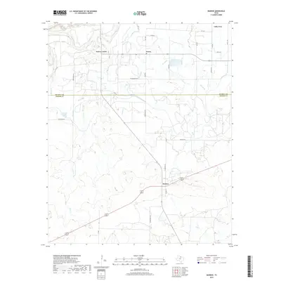 2019 Mankins2019 Print · USGSCovers Kadane Corner, including Valley View, Kamay, and other nearby areas
 - 2022 Map of Mankins, 2022 Print
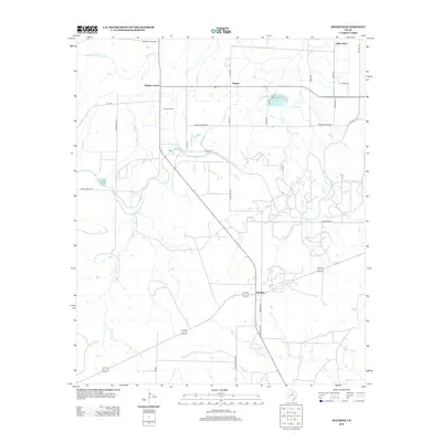
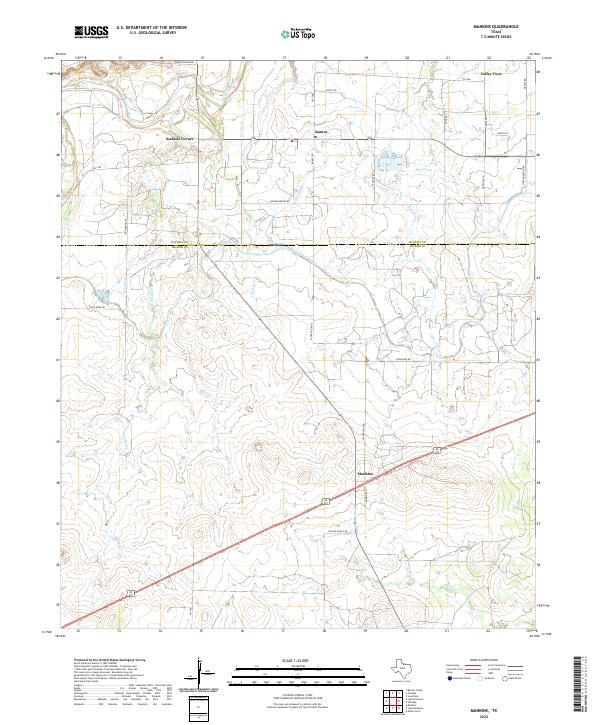 2022 Mankins2022 Print · USGSThis Archer and Wichita County borderland in 2022 shows a landscape shaped by irrigation and ranching. Genealogists and local historians can trace family land via Wilson Ranch Rd and Bradley Ranch Rd near Mankins and Kadane Corner.
End of results
Showing maps 1-9 of 9
Top cities near Kadane Corner
- Wichita Falls historical maps
- Iowa Park historical maps
- Electra historical maps
- Holliday historical maps
- Pleasant Valley historical maps
Frequently asked questions
- What are the different types of historical maps available for Kadane Corner?
- What is the oldest map of Kadane Corner?
- Where can I purchase historical maps of Kadane Corner for my home or office?
- Where can I download high-res historical maps of Kadane Corner?
- Are there historical topographic maps available for Kadane Corner?
- Is there historical aerial imagery available for Kadane Corner?
- Where are historical maps of Kadane Corner sourced from?