Old Maps of Katy Crossing, Georgetown for Genealogy
Trace your family roots with 13 historic maps of Katy Crossing. These high-res maps reveal old neighborhoods, homesites, landmarks, and streets — helping you uncover where your ancestors lived and how the area evolved over time.
- Explore historic neighborhoods: Identify where your relatives may have lived in the 1800s or 1900s.
- Compare maps over time: Trace the changes in streets, buildings, and landmarks for multi-generational research.
- Perfect for genealogy & ancestry research: Used by family historians and researchers to map out lineage and migration.
These maps are an incredible resource for exploring your personal connection to Katy Crossing's past.
Katy Crossing, Georgetown maps
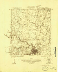
(13)- 1893 Map of Georgetown
 1893 Georgetown1893 Print · USGSCentral Texas in the late 1800s was a landscape in flux as rail lines reshaped old frontier settlements. Genealogists can trace the shift from riverside villages like Bagdad and Old Round Rock to new rail hubs such as Leander and Hutto.5 unique versions available
 - 1925 Map of Georgetown 4-b
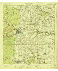
 1925 Georgetown 4-b1925 Print · USGSIn the mid-twenties, Williamson County revolved around the river confluence at Georgetown. Researchers can trace rural community life through neighborhood landmarks like Strickland Grove Church and the Berry School near the San Gabriel River.
 - 1928 Map of Round Rock
 1928 Round Rock1928 Print · USGSWilliamson County in the mid-twenties shows a landscape of developing rail hubs and scattered rural school districts. Genealogists can locate family landmarks like Bell Gin, Old Round Rock, and the Strickland Grove Church.2 unique versions available
 - 1949 Map of Round Rock, 1967 Print
 1949 Round Rock1967 Print · USGSCentral Texas in the late 1940s reveals a landscape defined by cotton ginning and the heavy influence of competing rail lines. Genealogists can locate family landmarks like Palm Valley Ch, the Bell Gin, and rural schools such as Palacky Sch or Bell Sch.2 unique versions available
 - 1951 Map of Round Rock
 1951 Round Rock1951 Print · USGSWilliamson County at mid-century reveals a landscape of thriving rural communities and intersecting rail lines before the era of modern suburban expansion. Local researchers can pinpoint family landmarks like Palm Valley Ch, trace the old settlement at Old Round Rock, or locate the Bell Gin.
 - 1954 Map of Austin, 1964 Print
 1954 Austin1964 Print · USGSCentral Texas is captured during a period of steady growth as the capital city and its neighboring farm towns began to modernize. Researchers can trace historic rail corridors like the Southern Pacific RR or locate landmarks such as Bergstrom Air Force Base and Pilot Knob.4 unique versions available
 - 1982 Map of Georgetown, 1986 Print
 1982 Georgetown1986 Print · USGSGeorgetown in the early eighties exhibits a landscape where historic university life meets new infrastructure like Lake Georgetown. Trace local family names through sites like Berrys Creek Cem and the Southwestern University campus.3 unique versions available
 - 1985 Map of Taylor, 1986 Print
 1985 Taylor1986 Print · USGSWilliamson and Bell counties in the mid-eighties reveal a landscape where the cattle and cotton economy met burgeoning rail infrastructure. Genealogists and historians can trace the paths of the Missouri Pacific railroad through unique hamlets like Ding Dong, Frame Switch, and Beyersville.2 unique versions available
 - 2010 Map of Georgetown, 2010 Print
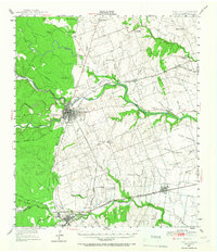
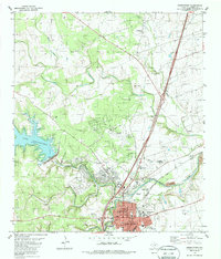
 2010 Georgetown2010 Print · USGSCovers Katy Crossing, including Georgetown, Strickland Grove, and other nearby areas
 - 2013 Map of Georgetown, 2013 Print
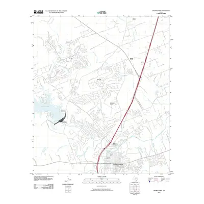
 2013 Georgetown2013 Print · USGSCovers Katy Crossing, including Georgetown, Strickland Grove, and other nearby areas
 - 2016 Map of Georgetown, 2016 Print
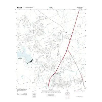
 2016 Georgetown2016 Print · USGSCovers Katy Crossing, including Georgetown, Strickland Grove, and other nearby areas
 - 2019 Map of Georgetown, 2019 Print
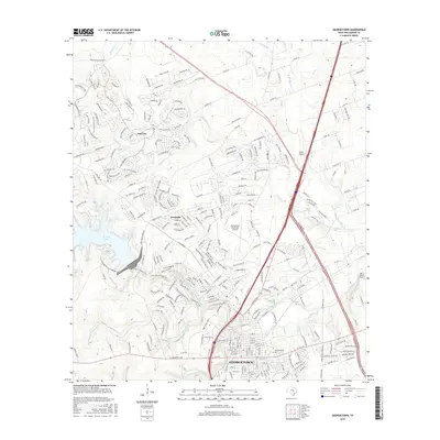
 2019 Georgetown2019 Print · USGSCovers Katy Crossing, including Georgetown, Strickland Grove, and other nearby areas
 - 2022 Map of Georgetown, 2022 Print
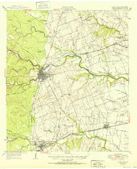
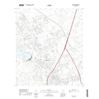
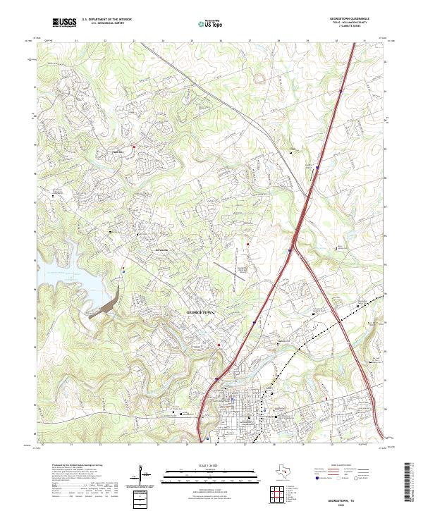 2022 Georgetown2022 Print · USGSGeorgetown and its surrounding Williamson County hill country are captured here during a period of rapid suburban growth. Researchers can trace family history through several burial sites like Old Georgetown Cem or locate the campus of Southwestern University.
End of results
Showing maps 1-13 of 13
Frequently asked questions
- What are the different types of historical maps available for Katy Crossing?
- What is the oldest map of Katy Crossing?
- Where can I purchase historical maps of Katy Crossing for my home or office?
- Where can I download high-res historical maps of Katy Crossing?
- Are there historical topographic maps available for Katy Crossing?
- Is there historical aerial imagery available for Katy Crossing?
- Where are historical maps of Katy Crossing sourced from?