Old Maps of Newhouse, Utah for Hiking & Exploration
Hike through history with 10 historic maps of Newhouse. Explore old trails, ghost towns, and forgotten backroads — perfect for outdoor adventurers and local explorers.
- Rediscover forgotten places: Map out old mining camps, roads, and footpaths that no longer exist on modern maps.
- Layer with modern tools: Combine with LiDAR or satellite views to plan hikes through historical terrain.
- Made for exploration: Popular among hikers, overlanders, and local history lovers.
Use these maps to find adventure and explore the hidden past of Newhouse.
Newhouse, UT maps
(10)- 1953 Map of Richfield, 1963 Print
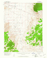
 1953 Richfield1963 Print · USGSCentral Utah in the early fifties reveals a complex geography of high plateaus and desert basins tied together by the Union Pacific rail lines. Genealogists and historians can trace family roots in Richfield or Kanosh and locate remote operations like the Blue Star Mine or Newhouse.3 unique versions available
 - 1958 Map of Richfield
 1958 Richfield1958 Print · USGSCentral Utah in the late fifties shows a landscape of mountain forests and desert basins connected by the Union Pacific Railroad. Genealogists and historians can trace rail stops at Nada Station, mines like the Blue Star Mine, and tribal lands of the Paiute Indian Reservation.2 unique versions available
 - 1959 Map of Frisco, 1961 Print
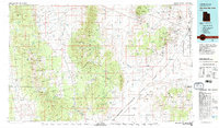
 1959 Frisco1961 Print · USGSBeaver County at the end of the fifties reveals a landscape shaped by a fading mining era. Genealogists and historians can trace the remnants of silver and copper districts through the Horn Silver Mine, the small cemetery, and the Frisco townsite.3 unique versions available
 - 1980 Map of Wah Wah Mts. South, 1984 Print
 1980 Wah Wah Mts. South1984 Print · USGSWestern Utah’s high desert and mineral-rich ranges are captured here in the late twentieth century, showing a landscape shaped by mining and the railroad. Researchers can locate remote shafts like the Wild Bill Mine, trace the Union Pacific Railroad through Lund, or explore the geography of the Wah Wah Mountains.2 unique versions available
 - 1989 Map of Frisco
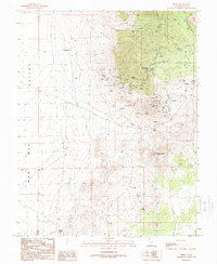 1989 Frisco1989 Print · USGSBeaver County mining history is preserved on this late twentieth-century survey of the San Francisco Mountains. Genealogists and researchers can trace the Horn Silver Mine, the settlement of Frisco, and the Cem that served the area's miners.
 - 2010 Map of Frisco, 2010 Print
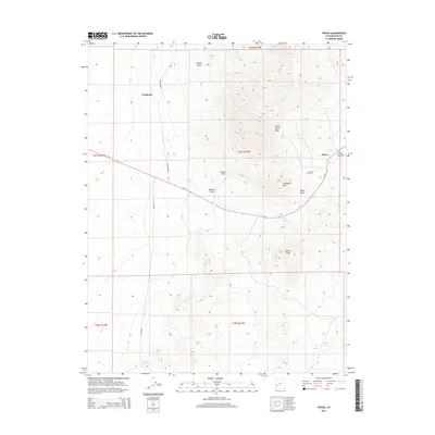
 2010 Frisco2010 Print · USGSCovers Newhouse, including Beaver County, United States, and other nearby areas
 - 2014 Map of Frisco, 2014 Print
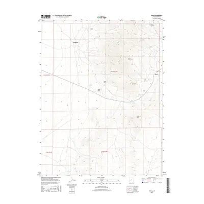
 2014 Frisco2014 Print · USGSCovers Newhouse, including Beaver County, United States, and other nearby areas
 - 2017 Map of Frisco, 2017 Print
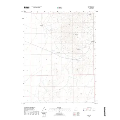
 2017 Frisco2017 Print · USGSCovers Newhouse, including Beaver County, United States, and other nearby areas
 - 2020 Map of Frisco, 2020 Print
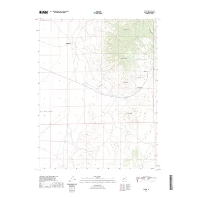
 2020 Frisco2020 Print · USGSCovers Newhouse, including Beaver County, United States, and other nearby areas
 - 2023 Map of Frisco, 2023 Print
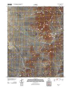
 2023 Frisco2023 Print · USGSIn the arid San Francisco Mountains of Beaver County, this recent survey traces the high-altitude terrain of former mining centers. Genealogists and researchers can locate the Frisco Cem and the sites of Frisco and Newhouse near landmarks like Grampian Hill.
End of results
Showing maps 1-10 of 10
Frequently asked questions
- What are the different types of historical maps available for Newhouse?
- What is the oldest map of Newhouse?
- Where can I purchase historical maps of Newhouse for my home or office?
- Where can I download high-res historical maps of Newhouse?
- Are there historical topographic maps available for Newhouse?
- Is there historical aerial imagery available for Newhouse?
- Where are historical maps of Newhouse sourced from?