Old Maps of Beaver County, Utah
Explore 383 old maps of Beaver County, spanning from 1885 to today. These high-resolution historic maps reveal how streets, neighborhoods, landmarks, and natural features evolved over time — perfect for genealogy, metal detecting, research, and local history exploration.
What you can do with these maps:
- See how Beaver County changed over time: Compare historical maps to modern-day views to trace roads, homesites, rail lines & more.
- View detailed metadata: Each map includes creators, publishers, year, scale, and archive source.
- Overlay maps with satellite & LiDAR: Visualize the past alongside modern tools to explore terrain & human change.
- Trusted historical sources: Maps sourced from the USGS, Library of Congress, and other archives.
- Access maps your way: View online, download high-res files, or order prints for personal or research use.
Start exploring old maps of Beaver County to uncover forgotten places, hidden landmarks, and the deep history beneath your feet.
Beaver County, UT maps
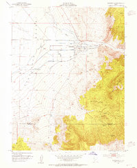
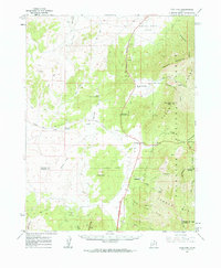
(383)- 1885 Map of Beaver
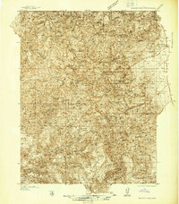
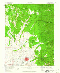
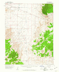
 1885 Beaver1885 Print · USGSSouth-central Utah in the 1880s was a landscape of high plateaus and valley settlements tied to the lifelines of the Sevier River and Beaver Creek. Family researchers can trace early town layouts in Beaver and Fillmore or locate rural outposts like Minersville and Kanosh.5 unique versions available
 - 1937 Map of Delano Peak
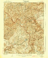
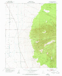
 1937 Delano Peak1937 Print · USGSThe Tushar Mountains are seen here during a peak era of mineral extraction in the late 1930s. Researchers can trace the layout of mining camps like Upper Kimberly or locate historical claims such as the Annie Laurie Mine and Bully Boy Mine.2 unique versions available
 - 1943 Map of Delano Peak
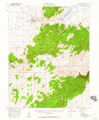
 1943 Delano Peak1943 Print · USGSThe Tushar Mountains of Piute and Sevier counties appear here during the mid-twentieth century peak of forest management and mining. Researchers can trace historic extraction sites like the Sevier Mine and Copper Belt Mine or locate early outposts such as the Delano Ranger Station.2 unique versions available
 - 1953 Map of Ninemile Knoll, 1954 Print
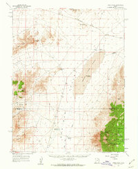
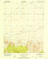 1953 Ninemile Knoll1954 Print · USGSThe Escalante Desert of the early fifties is captured here at the junction of Beaver and Iron counties. Researchers can trace mid-century water infrastructure including the Irrigation Canal, lonely windmills, and landmarks like Government Well.2 unique versions available
 - 1953 Map of Milford Flat, 1955 Print
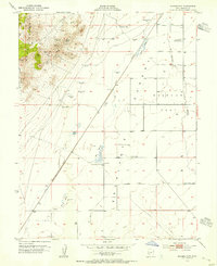 1953 Milford Flat1955 Print · USGSThe eastern Escalante Desert and Milford Flat are captured here in the early fifties during a period of active high-desert mining. Genealogists and historians can locate mining sites like the Maud S Mine and Gold Crown Mine, or trace the Union Pacific rail line past Upton and Laho.2 unique versions available
 - 1953 Map of Minersville, 1955 Print
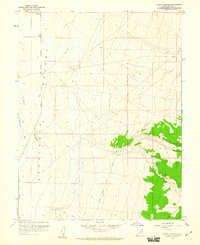
 1953 Minersville1955 Print · USGSMinersville served as a vital agricultural hub at the foot of the Mineral Mountains in the early fifties. Genealogists and desert historians can trace the intricate irrigation network of The Mile Ditch and locate landmarks like Uncle Benneys Orchard and the town Cemetery.2 unique versions available
 - 1953 Map of Cave Canyon, 1955 Print
 1953 Cave Canyon1955 Print · USGSBeaver County mining and desert irrigation are captured in detail in the early 1950s. Trace local history through family landmarks like Jimmy Jones Spring and storied industrial sites such as the Lincoln Mine and Honey Boy Mine.2 unique versions available
 - 1953 Map of Richfield, 1963 Print
 1953 Richfield1963 Print · USGSCentral Utah in the early fifties reveals a complex geography of high plateaus and desert basins tied together by the Union Pacific rail lines. Genealogists and historians can trace family roots in Richfield or Kanosh and locate remote operations like the Blue Star Mine or Newhouse.3 unique versions available
 - 1954 Map of Beaver SE, 1955 Print
 1954 Beaver SE1955 Print · USGSBeaver and the surrounding canyon country are captured here in the mid-fifties, showing the vital irrigation network that sustained the valley. Researchers can trace historic water rights through the Harris Ditch and Mammoth Ditch or locate the old Racetrack and Power Plant at the edge of Beaver.
 - 1954 Map of Beaver NE, 1955 Print
 1954 Beaver NE1955 Print · USGSThe high country of the Utah-Piute county line is documented here in the mid-1950s during a period of active mountain mining and water engineering. Historians and mineral hunters can trace routes to the Bob Roy Mine, Sheepskin Mine, and the length of the Old Manderfield Ditch Road.
 - 1956 Map of Lund, 1963 Print
 1956 Lund1963 Print · USGSEastern Nevada and the Utah borderlands are mapped here during the mid-fifties, showing a landscape of high-desert ranches and mountain mining camps. Genealogists and historians can trace family locations through sites like Bristol Silver Mines, Lund, and the Sunnyside Whipple Ranch.2 unique versions available
 - 1958 Map of Richfield
 1958 Richfield1958 Print · USGSCentral Utah in the late fifties shows a landscape of mountain forests and desert basins connected by the Union Pacific Railroad. Genealogists and historians can trace rail stops at Nada Station, mines like the Blue Star Mine, and tribal lands of the Paiute Indian Reservation.2 unique versions available
 - 1958 Map of Minersville, 1960 Print
 1958 Minersville1960 Print · USGSMinersville and the edge of the Escalante Desert are captured here during the late fifties as irrigation transformed the arid valley floor. Genealogists and local historians can locate the Cemetery, trace the Low Line Canal, and find family-named landmarks like Uncle Benneys Orchard or Jack Henry Knoll.3 unique versions available
 - 1958 Map of Thermo, 1960 Print
 1958 Thermo1960 Print · USGSSouthern Utah's high desert and mountain frontier are captured in the late fifties, showing the isolated rail stop at Thermo. Researchers can trace early water management and transport routes through the Black Mountains via Dead Horse Reservoir, Baboon Seep, and the Union Pacific line.
 - 1958 Map of Milford, 1960 Print
 1958 Milford1960 Print · USGSIn the late fifties, this area of Beaver County was a hive of mining activity and railroad transport. Researchers can trace the layout of the Union Pacific through Milford or locate the historical footprints of Shauntie and the Mammoth Mine.
 - 1958 Map of Beaver, 1960 Print
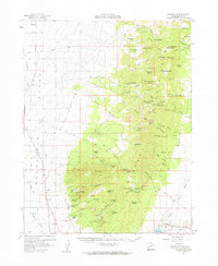
 1958 Beaver1960 Print · USGSBeaver and the surrounding high desert valleys are documented here in the late fifties as the town grew along the historic corridor of the Utah state roads. Genealogists and local historians can locate civic landmarks like Belknap Sch and Mtn View Cemetery or trace old mining claims such as the Rob Roy Mine.2 unique versions available
 - 1958 Map of Milford, 1960 Print
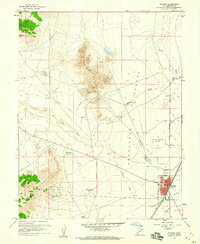 1958 Milford1960 Print · USGSMilford and the surrounding Escalante Desert are shown here in the late fifties as a bustling rail and mining center. Researchers can trace the extensive Union Pacific lines and numerous mountain claims like the Montreal Mine and Copper King Mine.3 unique versions available
 - 1958 Map of Adamsville, 1960 Print
 1958 Adamsville1960 Print · USGSNear the Beaver River in the late 1950s, this area supported both valley ranching and high-altitude mining. Researchers can trace historic claims like the Creole Mine and Honey Boy Mine or locate the old station at Murdock along the Union Pacific tracks.2 unique versions available
 - 1958 Map of Ranch Canyon, 1960 Print
 1958 Ranch Canyon1960 Print · USGSBeaver County at the end of the fifties reveals a landscape shaped by water engineering and desert transit. Genealogists and historians can trace the Pacific Union rail line and irrigation systems like The Low Line Canal near the settlement of Murdock.3 unique versions available
 - 1959 Map of Frisco, 1961 Print
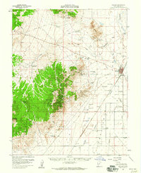
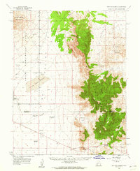
 1959 Frisco1961 Print · USGSBeaver County at the end of the fifties reveals a landscape shaped by a fading mining era. Genealogists and historians can trace the remnants of silver and copper districts through the Horn Silver Mine, the small cemetery, and the Frisco townsite.3 unique versions available
 - 1960 Map of Lund
 1960 Lund1960 Print · USGSEastern Nevada and the Utah borderlands are mapped here during the mid-twentieth century, showing a landscape of high peaks and isolated ranching outposts. Researchers can locate remote mining sites like the Tungsten Queen Mine and early settlements including Lund and Shoshone.
 - 1960 Map of Frisco Peak, 1962 Print
 1960 Frisco Peak1962 Print · USGSThe high desert of western Utah is captured here in the early sixties, showing the rugged intersection of the Beaver and Millard county lines. Researchers can trace historic industrial sites like the Two Rock Charcoal Kilns, Indian Queen Mine, and remote outposts such as Bagnell Corral.2 unique versions available
 - 1960 Map of Wah Wah Summit, 1962 Print
 1960 Wah Wah Summit1962 Print · USGSThe western Utah desert at the start of the 1960s shows a landscape defined by ranching and ecological research. Genealogists and historians can trace old landmarks like Kelleys Place and Range Headquarters or follow the Sand Pass Jeep Trail.2 unique versions available
 - 1960 Map of Beaver Lake Mts., 1962 Print
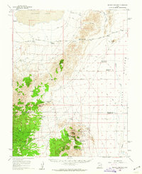 1960 Beaver Lake Mts.1962 Print · USGSThe Millard and Beaver county line ran through a busy mining district in the early sixties. You can trace early industrial sites like the Galena Mine, locate the Charcoal Kilns, and find the School Bus Corral near the Frisco Mts.2 unique versions available
 - 1962 Map of Cove Fort, 1964 Print
 1962 Cove Fort1964 Print · USGSCentral Utah in the early sixties reveals a high-desert landscape defined by historic waypoints and volcanic terrain. Genealogists and historians can trace routes through Cove Fort and Sulphurdale, or locate landmarks like Cinder Crater and Cedar Grove.
Showing maps 1-25 of 383
Top cities of Beaver County
Frequently asked questions
- What are the different types of historical maps available for Beaver County?
- What is the oldest map of Beaver County?
- Where can I purchase historical maps of Beaver County for my home or office?
- Where can I download high-res historical maps of Beaver County?
- Are there historical topographic maps available for Beaver County?
- Is there historical aerial imagery available for Beaver County?
- Where are historical maps of Beaver County sourced from?