Old Maps of Minersville, Utah
Explore 26 old maps of Minersville, spanning from 1885 to today. These high-resolution historic maps reveal how streets, neighborhoods, landmarks, and natural features evolved over time — perfect for genealogy, metal detecting, research, and local history exploration.
What you can do with these maps:
- See how Minersville changed over time: Compare historical maps to modern-day views to trace roads, homesites, rail lines & more.
- View detailed metadata: Each map includes creators, publishers, year, scale, and archive source.
- Overlay maps with satellite & LiDAR: Visualize the past alongside modern tools to explore terrain & human change.
- Trusted historical sources: Maps sourced from the USGS, Library of Congress, and other archives.
- Access maps your way: View online, download high-res files, or order prints for personal or research use.
Start exploring old maps of Minersville to uncover forgotten places, hidden landmarks, and the deep history beneath your feet.
Minersville, UT maps
(26)- 1885 Map of Beaver
 1885 Beaver1885 Print · USGSSouth-central Utah in the 1880s was a landscape of high plateaus and valley settlements tied to the lifelines of the Sevier River and Beaver Creek. Family researchers can trace early town layouts in Beaver and Fillmore or locate rural outposts like Minersville and Kanosh.5 unique versions available
 - 1953 Map of Milford Flat, 1955 Print
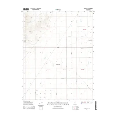
 1953 Milford Flat1955 Print · USGSThe eastern Escalante Desert and Milford Flat are captured here in the early fifties during a period of active high-desert mining. Genealogists and historians can locate mining sites like the Maud S Mine and Gold Crown Mine, or trace the Union Pacific rail line past Upton and Laho.2 unique versions available
 - 1953 Map of Minersville, 1955 Print
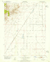
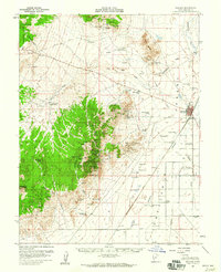
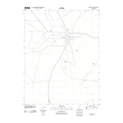
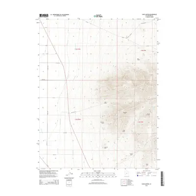
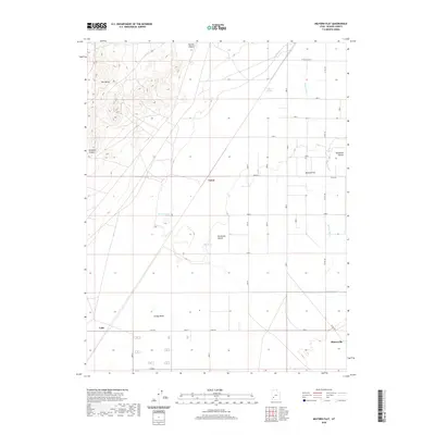
 1953 Minersville1955 Print · USGSMinersville served as a vital agricultural hub at the foot of the Mineral Mountains in the early fifties. Genealogists and desert historians can trace the intricate irrigation network of The Mile Ditch and locate landmarks like Uncle Benneys Orchard and the town Cemetery.2 unique versions available
 - 1953 Map of Cave Canyon, 1955 Print
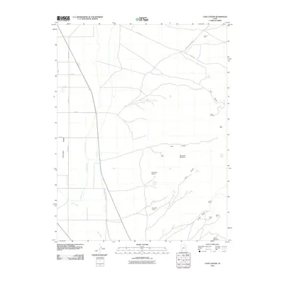
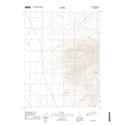
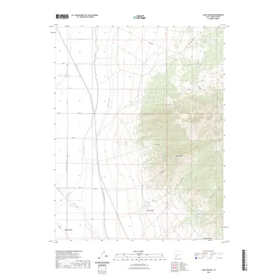
 1953 Cave Canyon1955 Print · USGSBeaver County mining and desert irrigation are captured in detail in the early 1950s. Trace local history through family landmarks like Jimmy Jones Spring and storied industrial sites such as the Lincoln Mine and Honey Boy Mine.2 unique versions available
 - 1953 Map of Richfield, 1963 Print
 1953 Richfield1963 Print · USGSCentral Utah in the early fifties reveals a complex geography of high plateaus and desert basins tied together by the Union Pacific rail lines. Genealogists and historians can trace family roots in Richfield or Kanosh and locate remote operations like the Blue Star Mine or Newhouse.3 unique versions available
 - 1958 Map of Richfield
 1958 Richfield1958 Print · USGSCentral Utah in the late fifties shows a landscape of mountain forests and desert basins connected by the Union Pacific Railroad. Genealogists and historians can trace rail stops at Nada Station, mines like the Blue Star Mine, and tribal lands of the Paiute Indian Reservation.2 unique versions available
 - 1958 Map of Minersville, 1960 Print
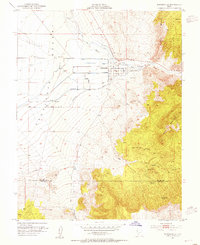
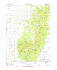
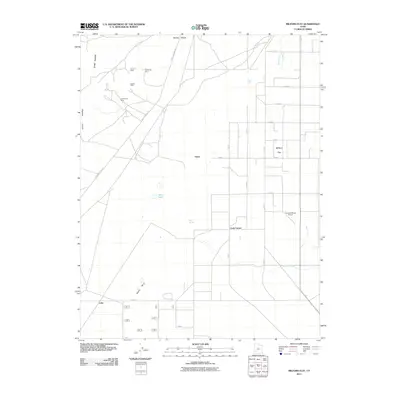
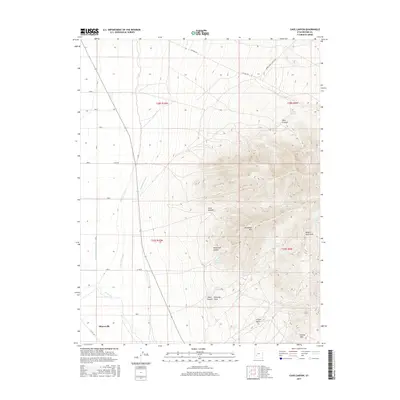
 1958 Minersville1960 Print · USGSMinersville and the edge of the Escalante Desert are captured here during the late fifties as irrigation transformed the arid valley floor. Genealogists and local historians can locate the Cemetery, trace the Low Line Canal, and find family-named landmarks like Uncle Benneys Orchard or Jack Henry Knoll.3 unique versions available
 - 1958 Map of Milford, 1960 Print
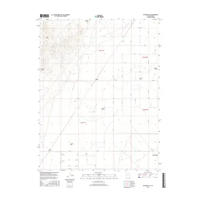
 1958 Milford1960 Print · USGSIn the late fifties, this area of Beaver County was a hive of mining activity and railroad transport. Researchers can trace the layout of the Union Pacific through Milford or locate the historical footprints of Shauntie and the Mammoth Mine.
 - 1958 Map of Adamsville, 1960 Print
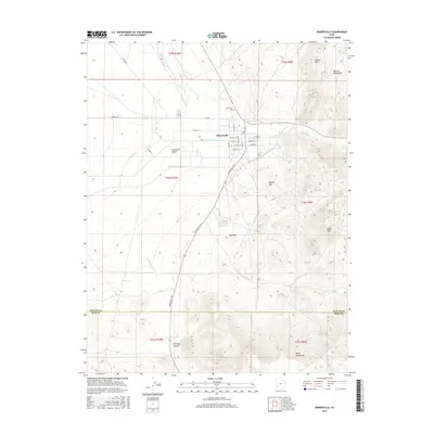
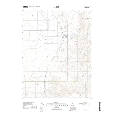
 1958 Adamsville1960 Print · USGSNear the Beaver River in the late 1950s, this area supported both valley ranching and high-altitude mining. Researchers can trace historic claims like the Creole Mine and Honey Boy Mine or locate the old station at Murdock along the Union Pacific tracks.2 unique versions available
 - 1980 Map of Beaver, 1981 Print
 1980 Beaver1981 Print · USGSSouthern Utah at the start of the 1980s reveals a rugged landscape of high mountain plateaus and essential desert irrigation networks. Researchers can trace the path of the Denver and Rio Grande Western through Marysvale or locate local landmarks like the Deer Trail Mine and Puffer Lake.2 unique versions available
 - 1980 Map of Wah Wah Mts. South, 1984 Print
 1980 Wah Wah Mts. South1984 Print · USGSWestern Utah’s high desert and mineral-rich ranges are captured here in the late twentieth century, showing a landscape shaped by mining and the railroad. Researchers can locate remote shafts like the Wild Bill Mine, trace the Union Pacific Railroad through Lund, or explore the geography of the Wah Wah Mountains.2 unique versions available
 - 2010 Map of Cave Canyon, 2010 Print
 2010 Cave Canyon2010 Print · USGSCovers Minersville, including Beaver County, United States, and other nearby areas
 - 2011 Map of Minersville, 2011 Print
 2011 Minersville2011 Print · USGSCovers Minersville, including Iron County, Beaver County, and other nearby areas
 - 2011 Map of Milford Flat, 2011 Print
 2011 Milford Flat2011 Print · USGSCovers Minersville, including Cook Corner, Beaver County, and other nearby areas
 - 2014 Map of Milford Flat, 2014 Print
 2014 Milford Flat2014 Print · USGSCovers Minersville, including Cook Corner, Beaver County, and other nearby areas
 - 2014 Map of Minersville, 2014 Print
 2014 Minersville2014 Print · USGSCovers Minersville, including Iron County, Beaver County, and other nearby areas
 - 2014 Map of Cave Canyon, 2014 Print
 2014 Cave Canyon2014 Print · USGSCovers Minersville, including Beaver County, United States, and other nearby areas
 - 2017 Map of Cave Canyon, 2017 Print
 2017 Cave Canyon2017 Print · USGSCovers Minersville, including Beaver County, United States, and other nearby areas
 - 2017 Map of Milford Flat, 2017 Print
 2017 Milford Flat2017 Print · USGSCovers Minersville, including Cook Corner, Beaver County, and other nearby areas
 - 2017 Map of Minersville, 2017 Print
 2017 Minersville2017 Print · USGSCovers Minersville, including Iron County, Beaver County, and other nearby areas
 - 2020 Map of Milford Flat, 2020 Print
 2020 Milford Flat2020 Print · USGSCovers Minersville, including Cook Corner, Beaver County, and other nearby areas
 - 2020 Map of Cave Canyon, 2020 Print
 2020 Cave Canyon2020 Print · USGSCovers Minersville, including Beaver County, United States, and other nearby areas
 - 2020 Map of Minersville, 2020 Print
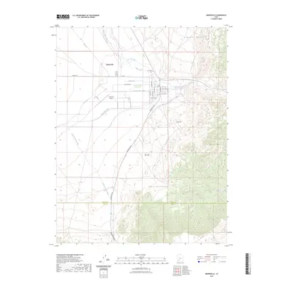
 2020 Minersville2020 Print · USGSCovers Minersville, including Iron County, Beaver County, and other nearby areas
 - 2023 Map of Cave Canyon, 2023 Print
 2023 Cave Canyon2023 Print · USGSBeaver County land and water use are on full display in this recent survey of the Minersville area. Researchers can trace the essential network of the Low Line Canal and High Line Canal alongside mountain landmarks like Bradshaw Mtn and Fourmile Knoll.
 - 2023 Map of Minersville, 2023 Print
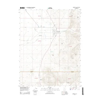
 2023 Minersville2023 Print · USGSThe desert frontier of southern Utah meets a complex network of historic irrigation systems in this recent survey. Local researchers can trace the Minersville Canal and Utopia Ditch or locate the Minersville Cemetery near the Beaver River.
Showing maps 1-25 of 26
Top cities near Minersville
Frequently asked questions
- What are the different types of historical maps available for Minersville?
- What is the oldest map of Minersville?
- Where can I purchase historical maps of Minersville for my home or office?
- Where can I download high-res historical maps of Minersville?
- Are there historical topographic maps available for Minersville?
- Is there historical aerial imagery available for Minersville?
- Where are historical maps of Minersville sourced from?