Old Maps of Beaver County, Utah for Academic Research
Study the evolution of Beaver County with 151 high-resolution historic maps. Whether you're teaching, researching, or modeling changes in land use, these maps provide essential visual documentation of urban, environmental, and geographic change.
- Analyze long-term change: Track patterns in development, transportation, and natural features.
- Ideal for environmental or urban studies: Support academic projects with primary historical map data.
- Use in the classroom or lab: Educators and researchers rely on these maps to bring historical context to life.
These maps are a powerful tool for teaching, research, and visualizing how Beaver County has changed over the decades.
Beaver County, UT maps
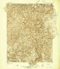
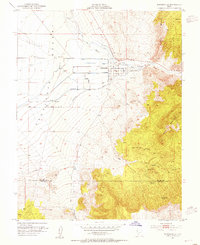
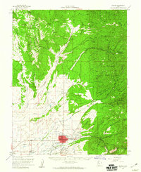
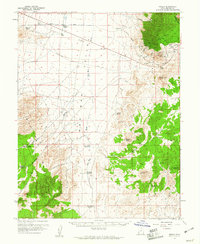
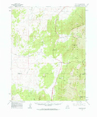
(151)- 1885 Map of Beaver
 1885 Beaver1885 Print · USGSCovers Beaver County, including Richfield, Beaver, and other nearby areas5 unique versions available
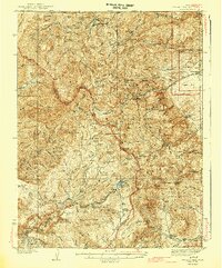
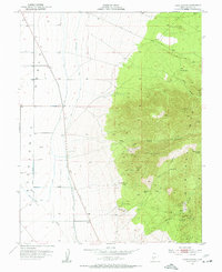
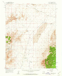
 - 1937 Map of Delano Peak
 1937 Delano Peak1937 Print · USGSCovers Beaver County, including Marysvale, Junction, and other nearby areas2 unique versions available
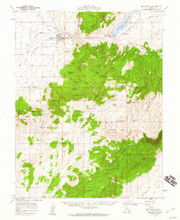
 - 1943 Map of Delano Peak
 1943 Delano Peak1943 Print · USGSCovers Beaver County, including Marysvale, Junction, and other nearby areas2 unique versions available
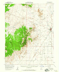
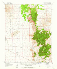
 - 1953 Map of Ninemile Knoll, 1954 Print
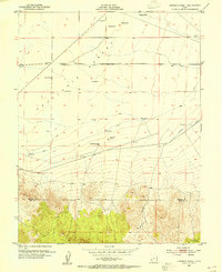 1953 Ninemile Knoll1954 Print · USGSCovers Beaver County, including Iron County, United States, and other nearby areas2 unique versions available
 - 1953 Map of Milford Flat, 1955 Print
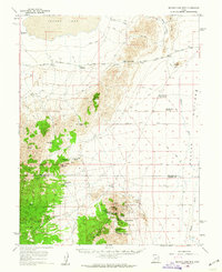
 1953 Milford Flat1955 Print · USGSCovers Beaver County, including Minersville, Cook Corner, and other nearby areas2 unique versions available
 - 1953 Map of Minersville, 1955 Print
 1953 Minersville1955 Print · USGSCovers Beaver County, including Minersville, Iron County, and other nearby areas2 unique versions available
 - 1953 Map of Cave Canyon, 1955 Print
 1953 Cave Canyon1955 Print · USGSCovers Beaver County, including Minersville, United States, and other nearby areas2 unique versions available
 - 1953 Map of Richfield, 1963 Print
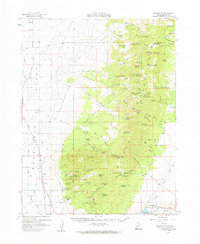
 1953 Richfield1963 Print · USGSCovers Beaver County, including Richfield, Beaver, and other nearby areas3 unique versions available
 - 1954 Map of Beaver SE, 1955 Print
 1954 Beaver SE1955 Print · USGSCovers Beaver County, including Beaver, North Creek, and other nearby areas
 - 1954 Map of Beaver NE, 1955 Print
 1954 Beaver NE1955 Print · USGSCovers Beaver County, including Piute County, United States, and other nearby areas
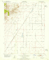
 - 1956 Map of Lund, 1963 Print
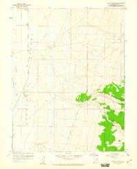
 1956 Lund1963 Print · USGSCovers Beaver County, including Lund, Preston, and other nearby areas2 unique versions available
 - 1958 Map of Richfield
 1958 Richfield1958 Print · USGSCovers Beaver County, including Richfield, Beaver, and other nearby areas2 unique versions available
 - 1958 Map of Minersville, 1960 Print
 1958 Minersville1960 Print · USGSCovers Beaver County, including Minersville, Iron County, and other nearby areas3 unique versions available
 - 1958 Map of Thermo, 1960 Print
 1958 Thermo1960 Print · USGSCovers Beaver County, including Iron County, United States, and other nearby areas
 - 1958 Map of Milford, 1960 Print
 1958 Milford1960 Print · USGSCovers Beaver County, including Milford, Minersville, and other nearby areas
 - 1958 Map of Beaver, 1960 Print
 1958 Beaver1960 Print · USGSCovers Beaver County, including Beaver, Cunningham Hill, and other nearby areas2 unique versions available
 - 1958 Map of Milford, 1960 Print
 1958 Milford1960 Print · USGSCovers Beaver County, including Milford, United States, and other nearby areas3 unique versions available
 - 1958 Map of Adamsville, 1960 Print
 1958 Adamsville1960 Print · USGSCovers Beaver County, including Milford, Minersville, and other nearby areas2 unique versions available
 - 1958 Map of Ranch Canyon, 1960 Print
 1958 Ranch Canyon1960 Print · USGSCovers Beaver County, including Milford, Yellow Banks, and other nearby areas3 unique versions available
 - 1959 Map of Frisco, 1961 Print
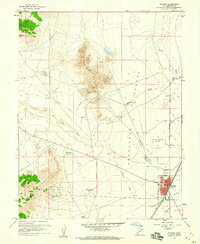
 1959 Frisco1961 Print · USGSCovers Beaver County, including Newhouse, United States, and other nearby areas3 unique versions available
 - 1960 Map of Lund
 1960 Lund1960 Print · USGSCovers Beaver County, including Lund, Preston, and other nearby areas
 - 1960 Map of Frisco Peak, 1962 Print
 1960 Frisco Peak1962 Print · USGSCovers Beaver County, including Millard County, United States, and other nearby areas2 unique versions available
 - 1960 Map of Wah Wah Summit, 1962 Print
 1960 Wah Wah Summit1962 Print · USGSCovers Beaver County, including Millard County, United States, and other nearby areas2 unique versions available
 - 1960 Map of Beaver Lake Mts., 1962 Print
 1960 Beaver Lake Mts.1962 Print · USGSCovers Beaver County, including Millard County, United States, and other nearby areas2 unique versions available
 - 1962 Map of Cove Fort, 1964 Print
 1962 Cove Fort1964 Print · USGSCovers Beaver County, including Sulphurdale, Cove Fort, and other nearby areas
Showing maps 1-25 of 151
Top cities of Beaver County
Frequently asked questions
- What are the different types of historical maps available for Beaver County?
- What is the oldest map of Beaver County?
- Where can I purchase historical maps of Beaver County for my home or office?
- Where can I download high-res historical maps of Beaver County?
- Are there historical topographic maps available for Beaver County?
- Is there historical aerial imagery available for Beaver County?
- Where are historical maps of Beaver County sourced from?