Old Maps of Beaver, Utah
Explore 25 old maps of Beaver, spanning from 1885 to today. These high-resolution historic maps reveal how streets, neighborhoods, landmarks, and natural features evolved over time — perfect for genealogy, metal detecting, research, and local history exploration.
What you can do with these maps:
- See how Beaver changed over time: Compare historical maps to modern-day views to trace roads, homesites, rail lines & more.
- View detailed metadata: Each map includes creators, publishers, year, scale, and archive source.
- Overlay maps with satellite & LiDAR: Visualize the past alongside modern tools to explore terrain & human change.
- Trusted historical sources: Maps sourced from the USGS, Library of Congress, and other archives.
- Access maps your way: View online, download high-res files, or order prints for personal or research use.
Start exploring old maps of Beaver to uncover forgotten places, hidden landmarks, and the deep history beneath your feet.
Beaver, UT maps
(25)- 1885 Map of Beaver
 1885 Beaver1885 Print · USGSSouth-central Utah in the 1880s was a landscape of high plateaus and valley settlements tied to the lifelines of the Sevier River and Beaver Creek. Family researchers can trace early town layouts in Beaver and Fillmore or locate rural outposts like Minersville and Kanosh.5 unique versions available
 - 1953 Map of Richfield, 1963 Print
 1953 Richfield1963 Print · USGSCentral Utah in the early fifties reveals a complex geography of high plateaus and desert basins tied together by the Union Pacific rail lines. Genealogists and historians can trace family roots in Richfield or Kanosh and locate remote operations like the Blue Star Mine or Newhouse.3 unique versions available
 - 1954 Map of Beaver SE, 1955 Print
 1954 Beaver SE1955 Print · USGSBeaver and the surrounding canyon country are captured here in the mid-fifties, showing the vital irrigation network that sustained the valley. Researchers can trace historic water rights through the Harris Ditch and Mammoth Ditch or locate the old Racetrack and Power Plant at the edge of Beaver.
 - 1958 Map of Richfield
 1958 Richfield1958 Print · USGSCentral Utah in the late fifties shows a landscape of mountain forests and desert basins connected by the Union Pacific Railroad. Genealogists and historians can trace rail stops at Nada Station, mines like the Blue Star Mine, and tribal lands of the Paiute Indian Reservation.2 unique versions available
 - 1958 Map of Beaver, 1960 Print
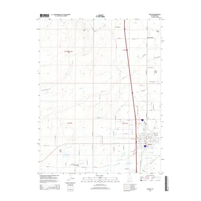
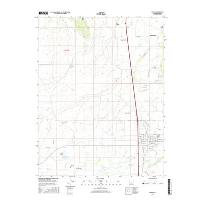
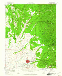 1958 Beaver1960 Print · USGSBeaver and the surrounding high desert valleys are documented here in the late fifties as the town grew along the historic corridor of the Utah state roads. Genealogists and local historians can locate civic landmarks like Belknap Sch and Mtn View Cemetery or trace old mining claims such as the Rob Roy Mine.2 unique versions available
 - 1971 Map of Greenville Bench, 1975 Print
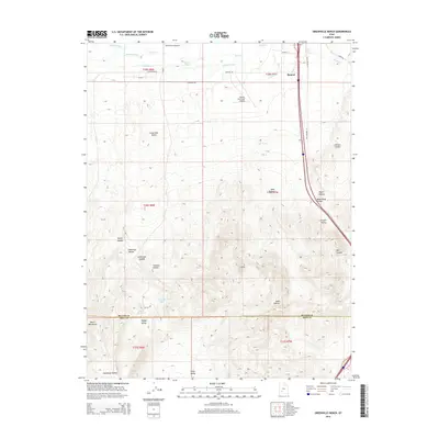
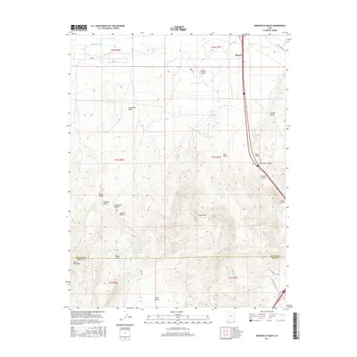
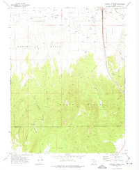 1971 Greenville Bench1975 Print · USGSThe high desert north of the Iron County line is captured in the early 1970s, showing a landscape defined by irrigation and remote hollows. Trace water management through the Aberdare Canal and Barton Ditch, or locate landmarks like Beaver Municipal Airport.
 - 1980 Map of Beaver, 1981 Print
 1980 Beaver1981 Print · USGSSouthern Utah at the start of the 1980s reveals a rugged landscape of high mountain plateaus and essential desert irrigation networks. Researchers can trace the path of the Denver and Rio Grande Western through Marysvale or locate local landmarks like the Deer Trail Mine and Puffer Lake.2 unique versions available
 - 1986 Map of Beaver
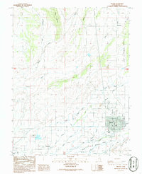 1986 Beaver1986 Print · USGSBeaver County is captured in the mid-1980s as a thriving agricultural hub centered on the river valley. Genealogists and local historians can trace the irrigation networks of Carter Ditch and locate family landmarks from Manderfield to Greenville.
 - 1987 Map of Black Ridge
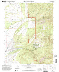
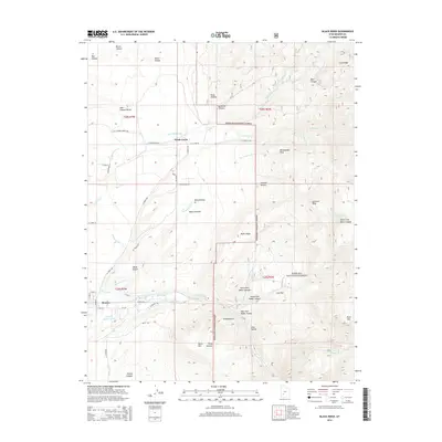
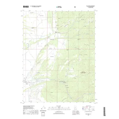
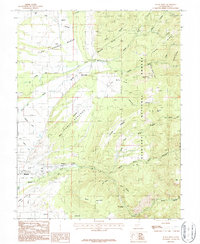 1987 Black Ridge1987 Print · USGSBeaver, Utah, is documented here in the late eighties, showing the critical intersection of mountain water and valley agriculture. Genealogists and local historians can trace irrigation networks like the South Field DITCH and explore landmarks from Rattlesnake Peak to Ponderosa Park.
 - 2001 Map of Black Ridge, 2003 Print
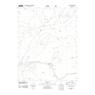
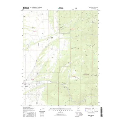
 2001 Black Ridge2003 Print · USGSBeaver and the eastern high desert of Utah are shown at the turn of the millennium as a landscape defined by irrigation and mountain timber. Researchers can trace historic water management through the Mammoth Ditch and South Field Ditch or locate recreation sites like Little Cottonwood Campground.
 - 2010 Map of Beaver, 2010 Print
 2010 Beaver2010 Print · USGSCovers Beaver, including Manderfield, Greenville, and other nearby areas
 - 2010 Map of Greenville Bench, 2010 Print
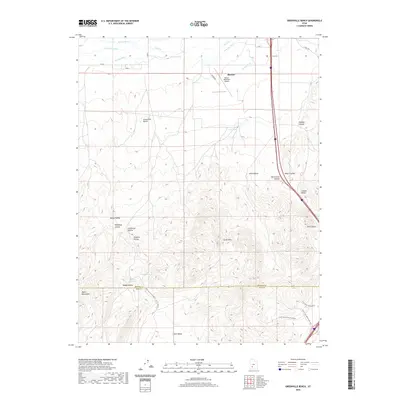
 2010 Greenville Bench2010 Print · USGSCovers Beaver, including Iron County, Beaver County, and other nearby areas
 - 2011 Map of Black Ridge, 2011 Print
 2011 Black Ridge2011 Print · USGSCovers Beaver, including North Creek, Beaver County, and other nearby areas
 - 2014 Map of Greenville Bench, 2014 Print
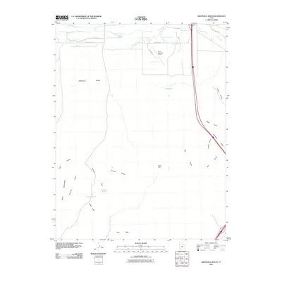
 2014 Greenville Bench2014 Print · USGSCovers Beaver, including Iron County, Beaver County, and other nearby areas
 - 2014 Map of Black Ridge, 2014 Print
 2014 Black Ridge2014 Print · USGSCovers Beaver, including North Creek, Beaver County, and other nearby areas
 - 2014 Map of Beaver, 2014 Print
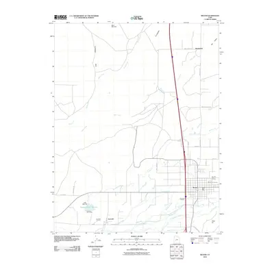
 2014 Beaver2014 Print · USGSCovers Beaver, including Manderfield, Greenville, and other nearby areas
 - 2017 Map of Black Ridge, 2017 Print
 2017 Black Ridge2017 Print · USGSCovers Beaver, including North Creek, Beaver County, and other nearby areas
 - 2017 Map of Beaver, 2017 Print
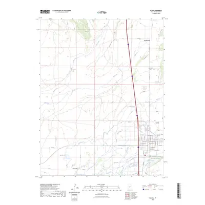
 2017 Beaver2017 Print · USGSCovers Beaver, including Manderfield, Greenville, and other nearby areas
 - 2017 Map of Greenville Bench, 2017 Print
 2017 Greenville Bench2017 Print · USGSCovers Beaver, including Iron County, Beaver County, and other nearby areas
 - 2020 Map of Black Ridge, 2020 Print
 2020 Black Ridge2020 Print · USGSCovers Beaver, including North Creek, Beaver County, and other nearby areas
 - 2020 Map of Greenville Bench, 2020 Print
 2020 Greenville Bench2020 Print · USGSCovers Beaver, including Iron County, Beaver County, and other nearby areas
 - 2020 Map of Beaver, 2020 Print
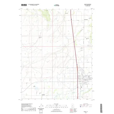 2020 Beaver2020 Print · USGSCovers Beaver, including Manderfield, Greenville, and other nearby areas
 - 2023 Map of Beaver, 2023 Print
 2023 Beaver2023 Print · USGSBeaver and its surrounding farming communities are documented here in the early twenty-first century, showing the sophisticated irrigation of the valley. Researchers can trace family history at Mountain View Cem or explore the hydrologic layout of Patterson Ditch and the Beaver River.
 - 2023 Map of Black Ridge, 2023 Print
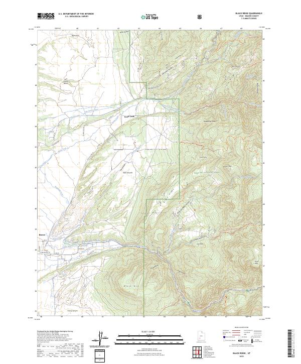 2023 Black Ridge2023 Print · USGSThe area east of Beaver is shown here as a landscape shaped by water engineering and the high peaks of the Tushar Mountains. Genealogists and researchers can trace the historic irrigation network of the Last Chance Canal, Mammoth Canal, and City Ditch.
 - 2023 Map of Greenville Bench, 2023 Print
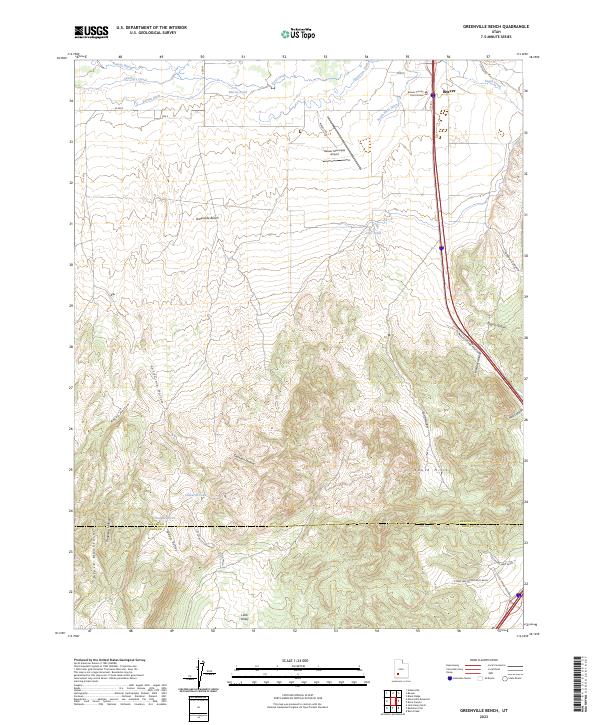 2023 Greenville Bench2023 Print · USGSThe northern edge of the Black Mountains meets the irrigated valleys of Beaver County in the early twenty-first century. Researchers can trace the complex irrigation history of the Greenville Bench through the Aberdare Canal and locate landmarks like the Beaver County Court House.
End of results
Showing maps 1-25 of 25
Frequently asked questions
- What are the different types of historical maps available for Beaver?
- What is the oldest map of Beaver?
- Where can I purchase historical maps of Beaver for my home or office?
- Where can I download high-res historical maps of Beaver?
- Are there historical topographic maps available for Beaver?
- Is there historical aerial imagery available for Beaver?
- Where are historical maps of Beaver sourced from?