2020s Maps of Beaver County, Utah
Explore 112 historic maps of Beaver County from the 2020s. These maps offer a rare glimpse into what life looked like during the 2020s — showing old roads, neighborhoods, homes, and landmarks that have changed or disappeared over time.
Whether you're researching your family's past, planning a metal detecting trip, or studying how Beaver County's landscape evolved across the 2020s, these high-resolution maps are a powerful tool for exploring the history of this region.
- Focus on a specific era: All maps on this page are from the 2020s, giving you a focused view of this time period.
- See what’s changed: Compare century-old streets, trails, and buildings to today's modern landscape using overlays and satellite layers.
- Research with precision: Use these maps for genealogy, historical research, land use analysis, or educational projects.
- View, download, or print: Maps are fully viewable online in high resolution, and can be downloaded or printed for your own records.
Start exploring Beaver County's history through authentic maps from the 2020s. This is your window into the past.
Beaver County, UT maps
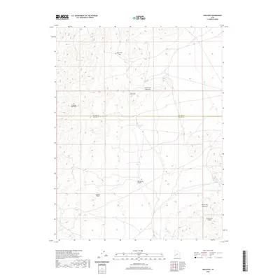
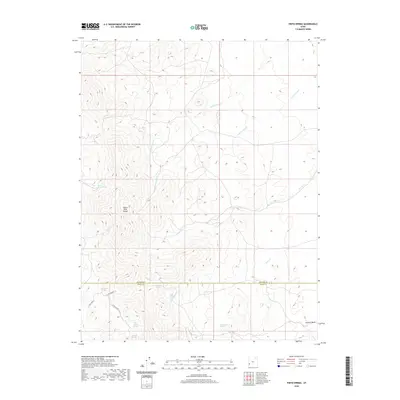
(112)- 2020 Map of Buckhorn Spring, 2020 Print
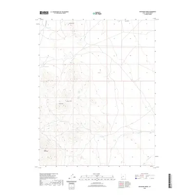 2020 Buckhorn Spring2020 Print · USGSCovers Beaver County, including United States, Utah, and other nearby areas
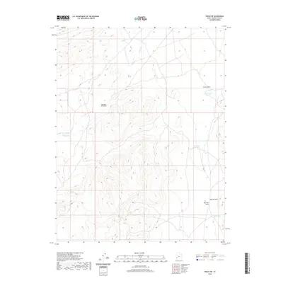
 - 2020 Map of Frisco Peak, 2020 Print
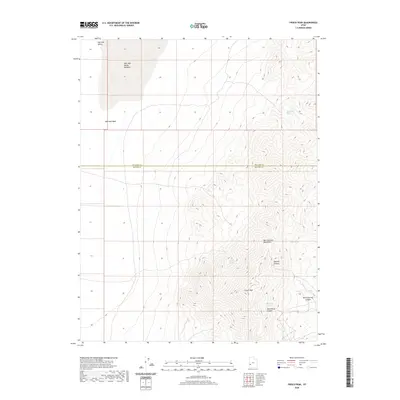 2020 Frisco Peak2020 Print · USGSCovers Beaver County, including Millard County, United States, and other nearby areas
 - 2020 Map of Wah Wah Summit, 2020 Print
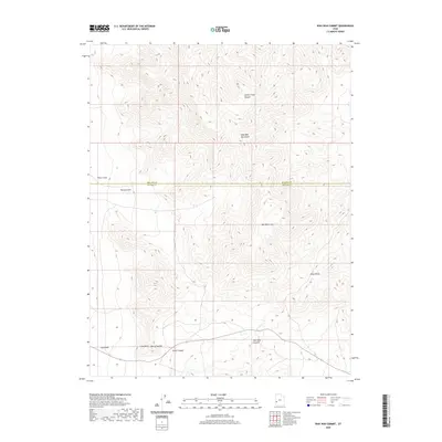 2020 Wah Wah Summit2020 Print · USGSCovers Beaver County, including Millard County, United States, and other nearby areas
 - 2020 Map of Lopers Spring, 2020 Print
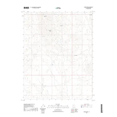 2020 Lopers Spring2020 Print · USGSCovers Beaver County, including United States, Utah, and other nearby areas
 - 2020 Map of High Rock, 2020 Print
 2020 High Rock2020 Print · USGSCovers Beaver County, including Millard County, United States, and other nearby areas
 - 2020 Map of Wah Wah Cove, 2020 Print
 2020 Wah Wah Cove2020 Print · USGSCovers Beaver County, including Millard County, United States, and other nearby areas
 - 2020 Map of Frisco SW, 2020 Print
 2020 Frisco SW2020 Print · USGSCovers Beaver County, including United States, Utah, and other nearby areas
 - 2020 Map of The Tetons, 2020 Print
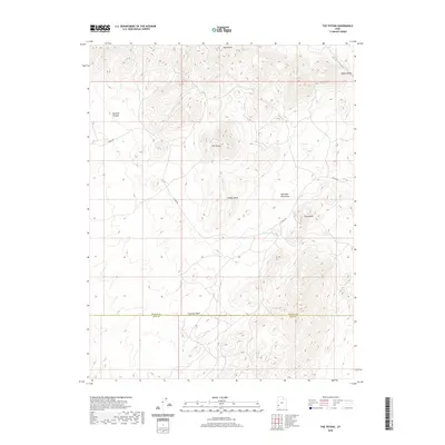 2020 The Tetons2020 Print · USGSCovers Beaver County, including Iron County, United States, and other nearby areas
 - 2020 Map of Pine Valley Hardpan South, 2020 Print
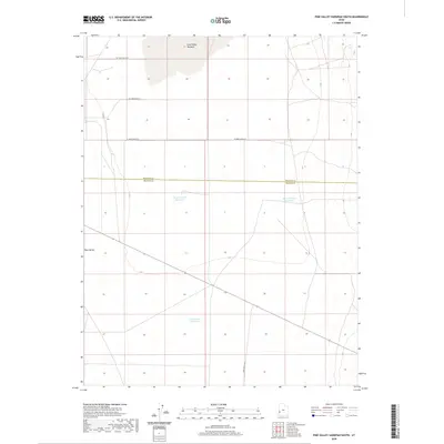 2020 Pine Valley Hardpan South2020 Print · USGSCovers Beaver County, including Millard County, United States, and other nearby areas
 - 2020 Map of Frisco, 2020 Print
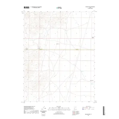
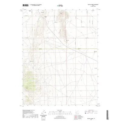
 2020 Frisco2020 Print · USGSCovers Beaver County, including Newhouse, United States, and other nearby areas
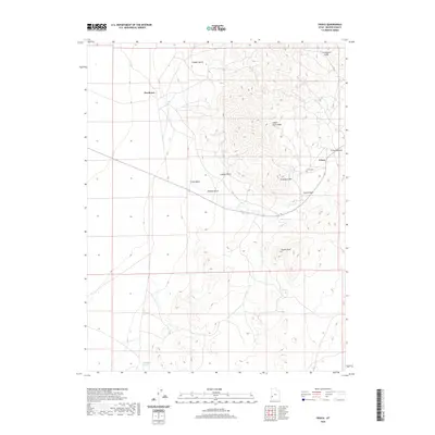
 - 2020 Map of Thermo, 2020 Print
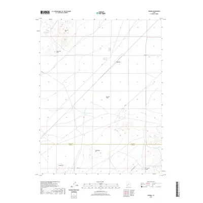 2020 Thermo2020 Print · USGSCovers Beaver County, including Iron County, United States, and other nearby areas
 - 2020 Map of Sawtooth Peak, 2020 Print
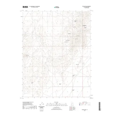
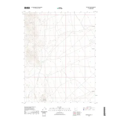 2020 Sawtooth Peak2020 Print · USGSCovers Beaver County, including United States, Utah, and other nearby areas
 - 2020 Map of Picacho Peak, 2020 Print
 2020 Picacho Peak2020 Print · USGSCovers Beaver County, including Shauntie, Shenendoah City, and other nearby areas
 - 2020 Map of Miners Cabin Wash, 2020 Print
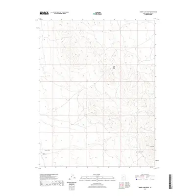 2020 Miners Cabin Wash2020 Print · USGSCovers Beaver County, including United States, Utah, and other nearby areas
 - 2020 Map of Halfway Summit, 2020 Print
 2020 Halfway Summit2020 Print · USGSCovers Beaver County, including Millard County, United States, and other nearby areas
 - 2020 Map of Lamerdorf Peak NW, 2020 Print
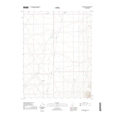 2020 Lamerdorf Peak NW2020 Print · USGSCovers Beaver County, including United States, Utah, and other nearby areas
 - 2020 Map of Wallaces Peak, 2020 Print
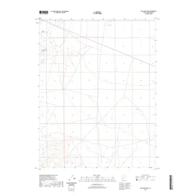 2020 Wallaces Peak2020 Print · USGSCovers Beaver County, including United States, Utah, and other nearby areas
 - 2020 Map of Lime Mountain, 2020 Print
 2020 Lime Mountain2020 Print · USGSCovers Beaver County, including Millard County, United States, and other nearby areas
 - 2020 Map of Lamerdorf Peak, 2020 Print
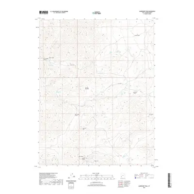 2020 Lamerdorf Peak2020 Print · USGSCovers Beaver County, including United States, Utah, and other nearby areas
 - 2020 Map of Burns Knoll, 2020 Print
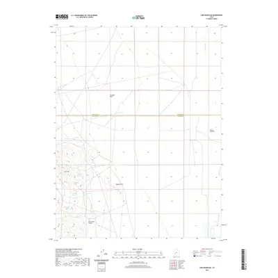
 2020 Burns Knoll2020 Print · USGSCovers Beaver County, including Iron County, United States, and other nearby areas
 - 2020 Map of Pinto Spring, 2020 Print
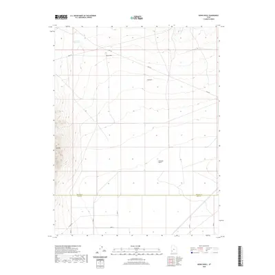
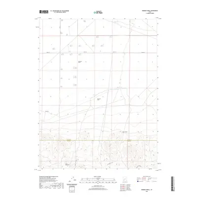
 2020 Pinto Spring2020 Print · USGSCovers Beaver County, including Iron County, United States, and other nearby areas
 - 2020 Map of Ninemile Knoll, 2020 Print
 2020 Ninemile Knoll2020 Print · USGSCovers Beaver County, including Iron County, United States, and other nearby areas
 - 2020 Map of Blue Mountain, 2020 Print
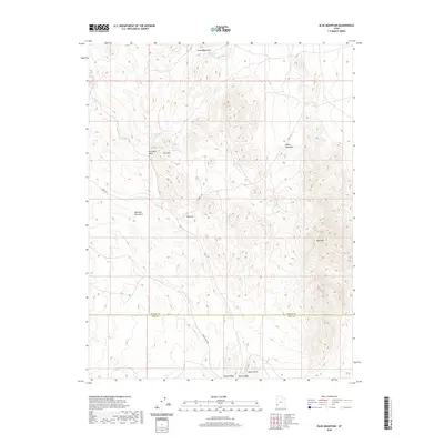 2020 Blue Mountain2020 Print · USGSCovers Beaver County, including Iron County, United States, and other nearby areas
 - 2020 Map of Sewing Machine Pass, 2020 Print
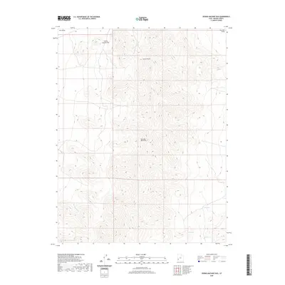 2020 Sewing Machine Pass2020 Print · USGSCovers Beaver County, including United States, Utah, and other nearby areas
 - 2020 Map of White Mountain, 2020 Print
 2020 White Mountain2020 Print · USGSCovers Beaver County, including United States, Utah, and other nearby areas
Showing maps 1-25 of 112
Top cities of Beaver County
Frequently asked questions
- What are the different types of historical maps available for Beaver County?
- What is the oldest map of Beaver County?
- Where can I purchase historical maps of Beaver County for my home or office?
- Where can I download high-res historical maps of Beaver County?
- Are there historical topographic maps available for Beaver County?
- Is there historical aerial imagery available for Beaver County?
- Where are historical maps of Beaver County sourced from?