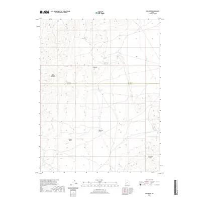
2020 Map of High Rock
USGS Topo · Published 2020About this map
The San Francisco Mountains and Little Frisco Mountains dominate this high-desert landscape along the boundary of Millard and Beaver Counties. This 2020 survey documents a terrain defined by internal drainage and isolated water sources, where travel and survival were historically dictated by the location of points like James Spring and Three Kilns Spring. The topographic detail reveals the complex geography of the High Rock area, including the prominent High Rock Pass and the southern Beaver Lake Mountains.
Find a feature on this map
14 named features on this map. Tap any name to fly to it.
Don’t see what you’re looking for? This feature index may not catch every label — zoom into the map to look around manually.
Map Details
Editions of this 2020 High Rock Map
This is the sole edition of this map. No revisions or reprints were ever made.
Other maps of this area

1953 · Richfield
USGS Topo · 1:250,000

1958 · Richfield
USGS Topo · 1:250,000

1958 · Milford
USGS Topo · 1:62,500

1958 · Milford
USGS Topo · 1:24,000

1959 · Frisco
USGS Topo · 1:62,500

1960 · Frisco Peak
USGS Topo · 1:62,500

1960 · Beaver Lake Mts.
USGS Topo · 1:62,500

1980 · Wah Wah Mts. South
USGS Topo · 1:100,000

1980 · Wah Wah Mts. North
USGS Topo · 1:100,000
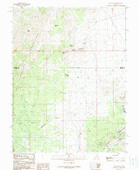
1989 · High Rock
USGS Topo · 1:24,000