
1959 Map of Frisco
USGS Topo · Published 1961About this map
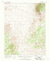
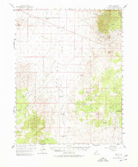
Frisco and Newhouse stand as remnants of a former mining boom on the eastern slopes of the Wah Wah Mountains. By the late 1950s, these once-thriving silver and copper districts are noted as sites, characterized by an extensive infrastructure of old railroad grades and numerous workings including the Horn Silver Mine, Cactus Mine, and Imperial Mine. The industrial footprint of the San Pedro Los Angeles and Salt Lake Railroad Grade cuts through the high desert landscape, connecting these remote extraction points to broader markets.
Find a feature on this map
43 named features on this map. Tap any name to fly to it.
Don’t see what you’re looking for? This feature index may not catch every label — zoom into the map to look around manually.
Map Details
Editions of this 1959 Frisco Map
3 editions found
Other maps of this area

1953 · Richfield
USGS Topo · 1:250,000

1958 · Richfield
USGS Topo · 1:250,000

1958 · Thermo
USGS Topo · 1:62,500

1958 · Milford
USGS Topo · 1:62,500

1960 · Frisco Peak
USGS Topo · 1:62,500

1960 · Wah Wah Summit
USGS Topo · 1:62,500

1960 · Beaver Lake Mts.
USGS Topo · 1:62,500

1971 · Sewing Machine Pass
USGS Topo · 1:24,000
1971 · Burns Knoll
USGS Topo · 1:24,000
1971 · Blue Mountain
USGS Topo · 1:24,000