
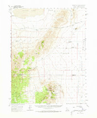
1960 Map of Beaver Lake Mts.
USGS Topo · Published 1962About this map
The Frisco Mts and Beaver Lake Mountains dominate this 1960 study of southwestern Utah, where the border of Millard Co and Beaver Co cuts through a high-desert landscape of mining and ranching. The eastern edge of the dry Sevier Lake basin gives way to complex mountain passes like Iron Mine Pass and Black Rock Pass.
Find a feature on this map
38 named features on this map. Tap any name to fly to it.
Don’t see what you’re looking for? This feature index may not catch every label — zoom into the map to look around manually.
Map Details
Editions of this 1960 Beaver Lake Mts. Map
2 editions found
Other maps of this area

1885 · Beaver
USGS Topo · 1:250,000

1953 · Richfield
USGS Topo · 1:250,000

1958 · Richfield
USGS Topo · 1:250,000

1958 · Milford
USGS Topo · 1:62,500

1958 · Milford
USGS Topo · 1:24,000

1958 · Adamsville
USGS Topo · 1:62,500

1958 · Ranch Canyon
USGS Topo · 1:24,000

1959 · Frisco
USGS Topo · 1:62,500

1960 · Frisco Peak
USGS Topo · 1:62,500

1960 · The Barn
USGS Topo · 1:62,500