
1960 Map of The Barn
USGS Topo · Published 1962About this map
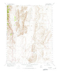
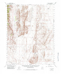
Confusion Range terrain dominates this desert landscape, defined by dramatic limestone peaks and expansive alkali flats. The 1960 field check reveals a remote cattle-ranching and mining environment where water sources like the Ibex Well and the northern Sevier Lake Reservoir were essential for survival. The tiny settlement at Ibex serves as the primary human landmark amidst a network of primitive transport routes, including the Snake Pass Road and various jeep trails that navigate the steep gaps between The Barn and Fossil Mtn. The survey captures the transition from the high ridges of the Black Hills down into the wide, arid expanse of Tule Valley. Notable peaks like Steamboat Mtn and unique landforms such as The Horse Pasture provide a detailed look at the geographic isolation of western Millard County during the mid-twentieth century.
Find a feature on this map
41 named features on this map. Tap any name to fly to it.
Don’t see what you’re looking for? This feature index may not catch every label — zoom into the map to look around manually.
Map Details
Editions of this 1960 The Barn Map
3 editions found
Other maps of this area

1908 · Fish Springs
USGS Topo · 1:250,000

1910 · Fish Springs
USGS Topo · 1:250,000

1953 · Richfield
USGS Topo · 1:250,000

1953 · Delta
USGS Topo · 1:250,000

1958 · Richfield
USGS Topo · 1:250,000

1958 · Delta
USGS Topo · 1:250,000

1960 · Notch Peak
USGS Topo · 1:62,500

1960 · Frisco Peak
USGS Topo · 1:62,500

1960 · Wah Wah Summit
USGS Topo · 1:62,500

1960 · Beaver Lake Mts.
USGS Topo · 1:62,500