
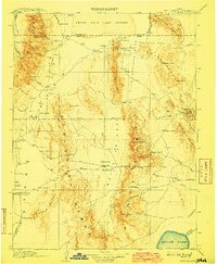
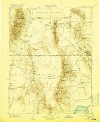
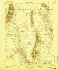
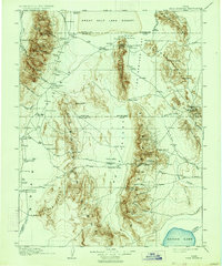
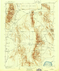
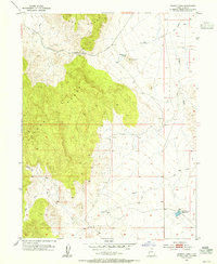
1910 Map of Fish Springs
USGS Topo · Published 1910About this map
The Deep Creek Range and the high desert basins of western Utah dominate this 1908 survey, capturing a landscape defined by isolated ranching outposts and remote mining districts. In an era when travel relied on wagon roads to places like Callao or through Indian Pass, the map details a network of vital water sources including Fish Springs and Tule Springs. Settlement is sparse, consisting largely of family-held properties such as Meecham's Ranch, Butson's Ranch, and the Conger Ranch.
Find a feature on this map
91 named features on this map. Tap any name to fly to it.
Don’t see what you’re looking for? This feature index may not catch every label — zoom into the map to look around manually.
Map Details
Editions of this 1910 Fish Springs Map
6 editions found
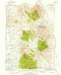
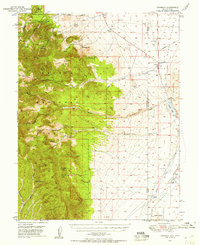
Other maps of this area

1885 · Beaver
USGS Topo · 1:250,000

1885 · Sevier Desert
USGS Topo · 1:250,000

1885 · Tooele Valley
USGS Topo · 1:250,000

1908 · Fish Springs
USGS Topo · 1:250,000
1925 · Gold Hill
USGS Topo · 1:62,500

1928 · Gold Hill
USGS Topo · 1:62,500
1949 · Garrison
USGS Topo · 1:62,500
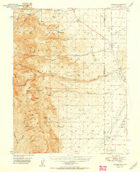
1951 · Garrison
USGS Topo · 1:62,500

1953 · Dugway Range NE
USGS Topo · 1:24,000
1953 · Dugway Pass
USGS Topo · 1:24,000