
1885 Map of Sevier Desert
USGS Topo · Published 1885About this map
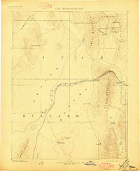
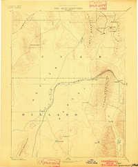
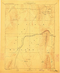
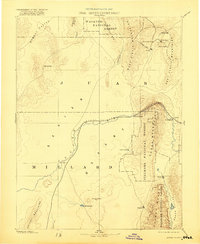
Mining operations in the Tintic Mountains define the northeastern corner of this 1885 survey, where the boom settlements of Silver City, Diamond City, and Homansville cluster near Cataract Creek. The landscape transitions from these mineral-rich heights into the broad expanse of the Sevier Desert, bisected by the Central Pacific Railroad as it follows the Sevier River through Sevier Canyon.
Find a feature on this map
31 named features on this map. Tap any name to fly to it.
Don’t see what you’re looking for? This feature index may not catch every label — zoom into the map to look around manually.
Map Details
Editions of this 1885 Sevier Desert Map
5 editions found
Other maps of this area

1885 · Salt Lake
USGS Topo · 1:250,000

1885 · Manti
USGS Topo · 1:250,000

1885 · Beaver
USGS Topo · 1:250,000

1885 · Fish Lake
USGS Topo · 1:250,000

1885 · Tooele Valley
USGS Topo · 1:250,000

1895 · Manti
USGS Topo · 1:250,000

1896 · Fish Lake
USGS Topo · 1:250,000

1908 · Fish Springs
USGS Topo · 1:250,000

1910 · Fish Springs
USGS Topo · 1:250,000

1947 · Fivemile Pass
USGS Topo · 1:62,500