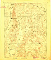
1895 Map of Manti
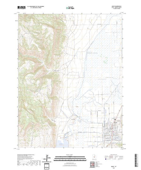
USGS Topo · Published 1921About this map
The San Pitch River valley serves as the central corridor for this late 19th-century survey, anchoring a network of agricultural settlements and early rail infrastructure. Triangulation and topography by the Powell Survey illustrate the complex relationship between the valley floor and the towering Wasatch Plateau to the east. Larger towns like Nephi, Ephraim, and Manti are prominently featured alongside smaller rail-dependent locations such as Pleasant Valley Junction and Indianola.
Find a feature on this map
61 named features on this map. Tap any name to fly to it.
Don’t see what you’re looking for? This feature index may not catch every label — zoom into the map to look around manually.
Map Details
Editions of this 1895 Manti Map
This is the sole edition of this map. No revisions or reprints were ever made.
Historical Maps of Payson Through Time
5 maps found