Old Maps of Manti, Utah
Explore 26 old maps of Manti, spanning from 1885 to today. These high-resolution historic maps reveal how streets, neighborhoods, landmarks, and natural features evolved over time — perfect for genealogy, metal detecting, research, and local history exploration.
What you can do with these maps:
- See how Manti changed over time: Compare historical maps to modern-day views to trace roads, homesites, rail lines & more.
- View detailed metadata: Each map includes creators, publishers, year, scale, and archive source.
- Overlay maps with satellite & LiDAR: Visualize the past alongside modern tools to explore terrain & human change.
- Trusted historical sources: Maps sourced from the USGS, Library of Congress, and other archives.
- Access maps your way: View online, download high-res files, or order prints for personal or research use.
Start exploring old maps of Manti to uncover forgotten places, hidden landmarks, and the deep history beneath your feet.
Manti, UT maps
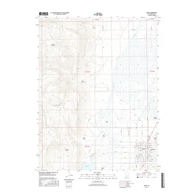
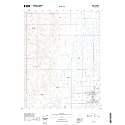
(26)- 1885 Map of Manti
 1885 Manti1885 Print · USGSCentral Utah during the mid-1880s reveals a growing network of agricultural towns and vital rail lines through the high desert. Researchers can trace early family settlements along the San Pete River and locate historic depots like Pleasant Valley Junction or the early township of Nephi.4 unique versions available
 - 1895 Map of Manti, 1921 Print
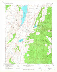
 1895 Manti1921 Print · USGSSanpete County and the high plateaus of central Utah are captured in the late nineteenth century as irrigation and railroads transformed the valley floor. Genealogists and historians can trace the early layout of Manti, Ephraim, and Nephi, alongside smaller outposts like Fountain Green and Mayfield.
 - 1956 Map of Price, 1968 Print
 1956 Price1968 Print · USGSCentral Utah in the mid-fifties showcases a landscape shaped by coal mining and mountain-fed irrigation. Trace the rail-and-river economy through the Geneva Coal Mine, the Union Pacific line, and settlements like Price and Ephraim.3 unique versions available
 - 1960 Map of Price
 1960 Price1960 Print · USGSCentral Utah in the late fifties was a landscape of coal-hauling railroads and high plateau settlements. Genealogists and local historians can trace the rail-to-river economy from Price to the mountain mining camps of Hiawatha, Dragerton, and Sunnyside.2 unique versions available
 - 1962 Map of Price
 1962 Price1962 Print · USGSCentral Utah during the early sixties shows a landscape balancing high-mountain forestry with valley agriculture and coal mining. Genealogists and historians can trace the Denver and Rio Grande Western rail lines through industrial hubs like Price or locate formerly active sites like Coal City (abandoned).
 - 1965 Map of Manti, 1967 Print
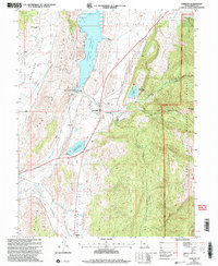
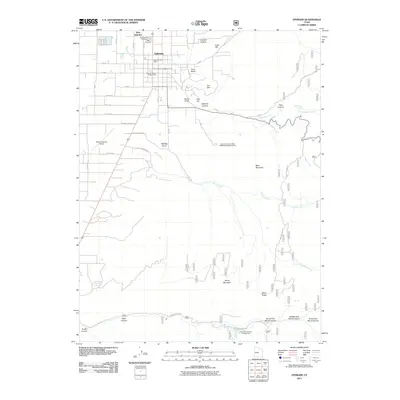
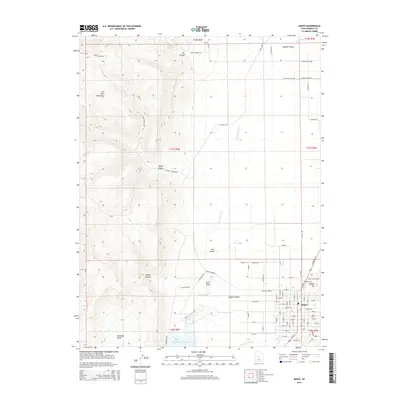
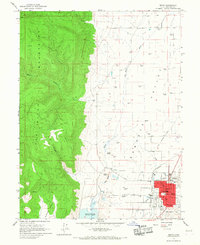 1965 Manti1967 Print · USGSThe Mormon settlement of Manti is captured in the mid-1960s, showing a well-established community between the San Pitch River and the high peaks. Genealogists and historians can trace the town's growth through landmarks like the Manti Temple, Manti Cemetery, and the Denver and Rio Grande Western rail line.2 unique versions available
 - 1966 Map of Sterling, 1968 Print
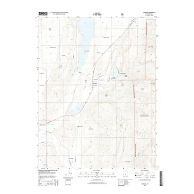
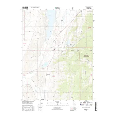
 1966 Sterling1968 Print · USGSSanpete County irrigation and rail transport are in sharp focus during the mid-sixties as the Denver and Rio Grande Western winds through the valley. Local historians can trace the Old Treaty Boundary and locate early landmarks like Morrison Mine and Antelope Valley Ranch.2 unique versions available
 - 1966 Map of Ephraim, 1968 Print
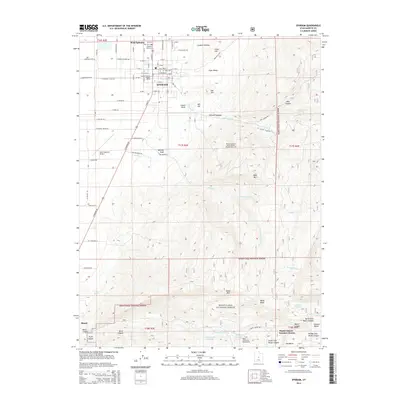
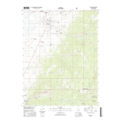
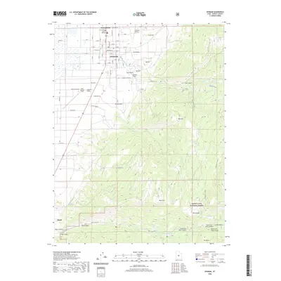
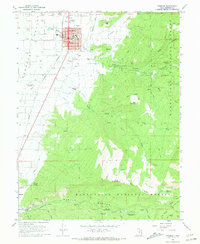 1966 Ephraim1968 Print · USGSSanpete County comes into focus in the 1960s as a bustling valley community anchored by the college at Ephraim. Genealogists and local historians can trace family-named sites and civic landmarks like Park Cemetery, Snow College, and the old Denver and Rio Grande Western rail line.2 unique versions available
 - 1981 Map of Manti
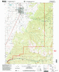
 1981 Manti1981 Print · USGSCentral Utah in the early eighties shows a landscape of mountain-fed valleys and high plateau coal mines. Trace the rail lines of the Denver and Rio Grande Western or locate family roots in Gunnison, Orangeville, or Castle Dale.2 unique versions available
 - 2001 Map of Sterling, 2004 Print
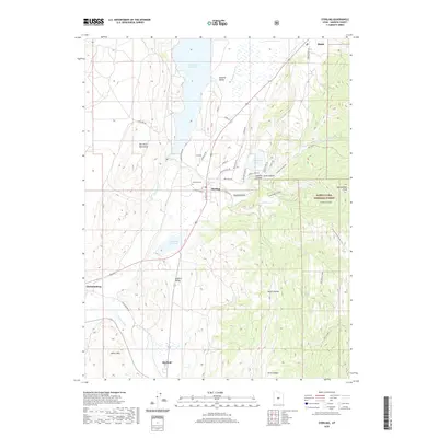
 2001 Sterling2004 Print · USGSSanpete County at the turn of the century shows a landscape of mountain-fed reservoirs and deep canyons. Genealogists and historians can trace the irrigation network from Gunnison Reservoir to Sterling, or locate the Morrison Mine and local cemetery.
 - 2001 Map of Ephraim, 2004 Print
 2001 Ephraim2004 Print · USGSEphraim and Manti sit at the edge of the mountains in the early 2000s, where town grids meet the national forest. Researchers can trace local institutions like Snow College or locate vanished landmarks like the Drive-in Theatre and Park Cem.
 - 2011 Map of Manti, 2011 Print
 2011 Manti2011 Print · USGSCovers Manti, including Sanpete County, United States, and other nearby areas
 - 2011 Map of Sterling, 2011 Print
 2011 Sterling2011 Print · USGSCovers Manti, including Mayfield, Sterling, and other nearby areas
 - 2011 Map of Ephraim, 2011 Print
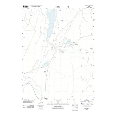
 2011 Ephraim2011 Print · USGSCovers Manti, including Ephraim, Manti Canyon Summer Homes, and other nearby areas
 - 2014 Map of Ephraim, 2014 Print
 2014 Ephraim2014 Print · USGSCovers Manti, including Ephraim, Manti Canyon Summer Homes, and other nearby areas
 - 2014 Map of Sterling, 2014 Print
 2014 Sterling2014 Print · USGSCovers Manti, including Mayfield, Sterling, and other nearby areas
 - 2014 Map of Manti, 2014 Print
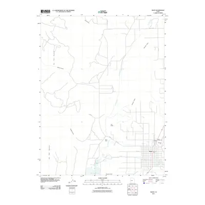
 2014 Manti2014 Print · USGSCovers Manti, including Sanpete County, United States, and other nearby areas
 - 2017 Map of Manti, 2017 Print
 2017 Manti2017 Print · USGSCovers Manti, including Sanpete County, United States, and other nearby areas
 - 2017 Map of Ephraim, 2017 Print
 2017 Ephraim2017 Print · USGSCovers Manti, including Ephraim, Manti Canyon Summer Homes, and other nearby areas
 - 2017 Map of Sterling, 2017 Print
 2017 Sterling2017 Print · USGSCovers Manti, including Mayfield, Sterling, and other nearby areas
 - 2020 Map of Sterling, 2020 Print
 2020 Sterling2020 Print · USGSCovers Manti, including Mayfield, Sterling, and other nearby areas
 - 2020 Map of Manti, 2020 Print
 2020 Manti2020 Print · USGSCovers Manti, including Sanpete County, United States, and other nearby areas
 - 2020 Map of Ephraim, 2020 Print
 2020 Ephraim2020 Print · USGSCovers Manti, including Ephraim, Manti Canyon Summer Homes, and other nearby areas
 - 2023 Map of Sterling, 2023 Print
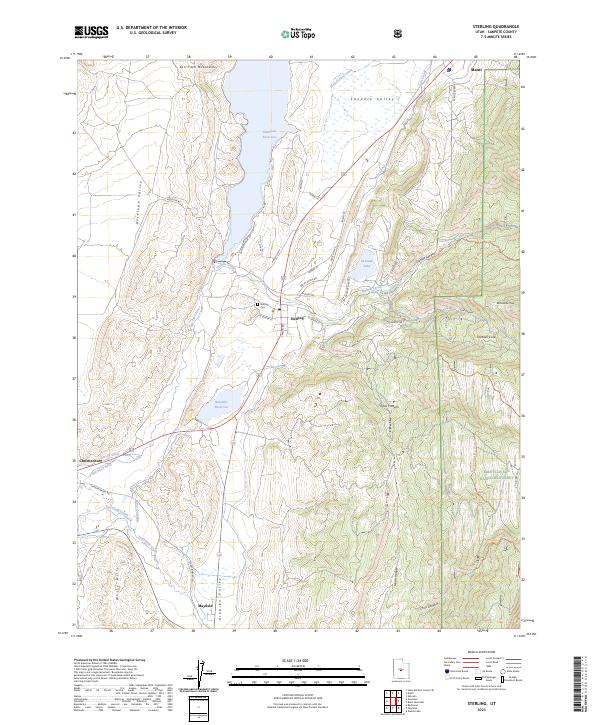 2023 Sterling2023 Print · USGSThe Sanpete Valley at the southern edge of Manti is mapped here as a network of historic canals and mountain canyons. You can trace early water systems like Larson Ditch and Lake Canal, or locate family sites near Sterling Cem and the settlement of Mayfield.
 - 2023 Map of Manti, 2023 Print
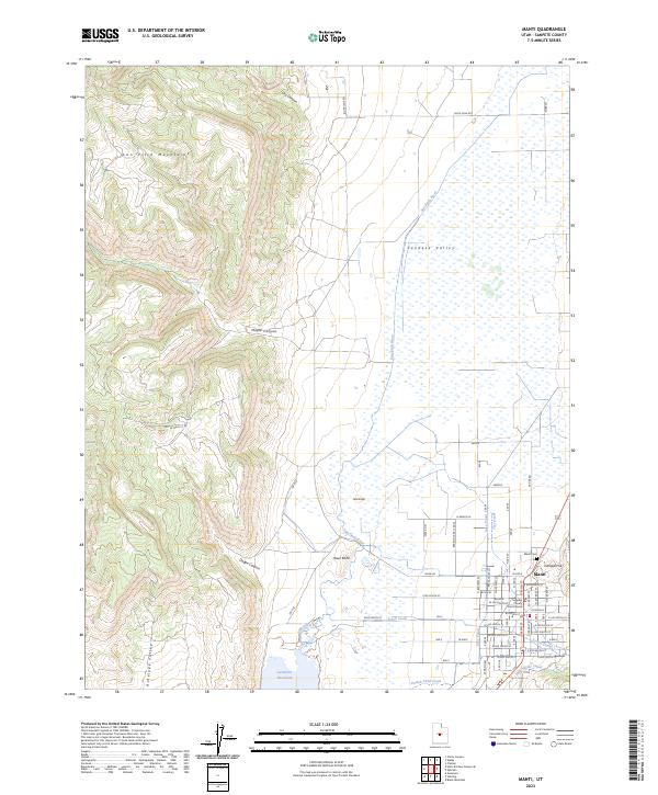 2023 Manti2023 Print · USGSManti and the central Sanpete Valley are shown in the early twenty-first century as the traditional grid of the town meets the irrigated fields of the valley floor. Researchers can trace the layout of the county seat near Temple Hill, locate the Sanpete County Court House, and follow the complex irrigation of the Lake Canal.
Showing maps 1-25 of 26
Top cities near Manti
- Ephraim historical maps
- Gunnison historical maps
- Centerfield historical maps
- Spring City historical maps
- Mayfield historical maps
- Sterling historical maps
See more
Frequently asked questions
- What are the different types of historical maps available for Manti?
- What is the oldest map of Manti?
- Where can I purchase historical maps of Manti for my home or office?
- Where can I download high-res historical maps of Manti?
- Are there historical topographic maps available for Manti?
- Is there historical aerial imagery available for Manti?
- Where are historical maps of Manti sourced from?