
1885 Map of Manti
USGS Topo · Published 1885About this map
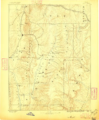
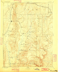
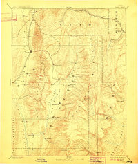
The San Pete River valley serves as the central corridor for settlement and transportation in this mid-1880s survey. The Utah Central Railroad and R G W R R define the movement of people and goods through the territory, connecting major hubs like Nephi and Manti. The landscape is characterized by a series of distinct valleys, including Gooseberry Valley and Joe's Valley, which are hemmed in by the massive Wasatch Plateau and Mt Nebo.
Find a feature on this map
63 named features on this map. Tap any name to fly to it.
Don’t see what you’re looking for? This feature index may not catch every label — zoom into the map to look around manually.
Map Details
Editions of this 1885 Manti Map
4 editions found
Other maps of this area

1885 · San Rafael
USGS Topo · 1:250,000

1885 · Salt Lake
USGS Topo · 1:250,000

1885 · Beaver
USGS Topo · 1:250,000

1885 · Sevier Desert
USGS Topo · 1:250,000

1885 · Fish Lake
USGS Topo · 1:250,000

1885 · Uinta
USGS Topo · 1:250,000

1885 · Tooele Valley
USGS Topo · 1:250,000

1886 · Price River
USGS Topo · 1:250,000

1895 · Manti
USGS Topo · 1:250,000

1896 · Price River
USGS Topo · 1:250,000