Old Maps of Oak City, Utah
Explore 20 old maps of Oak City, spanning from 1885 to today. These high-resolution historic maps reveal how streets, neighborhoods, landmarks, and natural features evolved over time — perfect for genealogy, metal detecting, research, and local history exploration.
What you can do with these maps:
- See how Oak City changed over time: Compare historical maps to modern-day views to trace roads, homesites, rail lines & more.
- View detailed metadata: Each map includes creators, publishers, year, scale, and archive source.
- Overlay maps with satellite & LiDAR: Visualize the past alongside modern tools to explore terrain & human change.
- Trusted historical sources: Maps sourced from the USGS, Library of Congress, and other archives.
- Access maps your way: View online, download high-res files, or order prints for personal or research use.
Start exploring old maps of Oak City to uncover forgotten places, hidden landmarks, and the deep history beneath your feet.
Oak City, UT maps
(20)- 1885 Map of Sevier Desert
 1885 Sevier Desert1885 Print · USGSMining districts and desert outposts across central Utah come to life in the mid-1880s as the railroad pushes through the canyon. Researchers can trace early industrial footprints at Silver City, locate the riverside settlement of Deseret, and follow the original Central Pacific Railroad line.5 unique versions available
 - 1951 Map of Oak City, 1953 Print
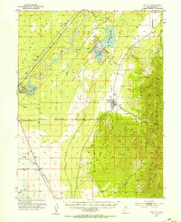 1951 Oak City1953 Print · USGSMillard County's high desert and mountain frontier are captured here in the early fifties, showing the precarious balance of irrigation and transport. Researchers can find the old Utah Central Railroad grade, the Oak City cemetery, and the Oak Creek Ranger Sta at the forest edge.3 unique versions available
 - 1953 Map of Delta, 1969 Print
 1953 Delta1969 Print · USGSWest-central Utah in the early fifties shows a landscape of vast desert playas and rising mountain ranges. Genealogists and historians can trace rail sidings like Champlin Siding, local industry at the Tungsten Mill, and historic outposts such as Fort Deseret.3 unique versions available
 - 1958 Map of Delta
 1958 Delta1958 Print · USGSThe West Desert of Utah comes into sharp focus during the late 1950s, showing the intersection of military ranges, irrigation projects, and historical transit. You can trace the proximity of the Topaz Camp to Delta, or locate the Pony Express Monument and the ruins of Fort Deseret.
 - 1962 Map of Delta
 1962 Delta1962 Print · USGSWest Central Utah in the early sixties reveals a landscape of desert agriculture and military testing grounds. Researchers can trace the Union Pacific line through Delta or locate historic sites like the Pony Express Monument and Silver City.
 - 1985 Map of Oak City North
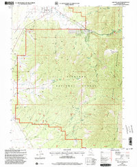
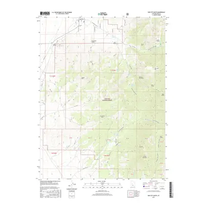
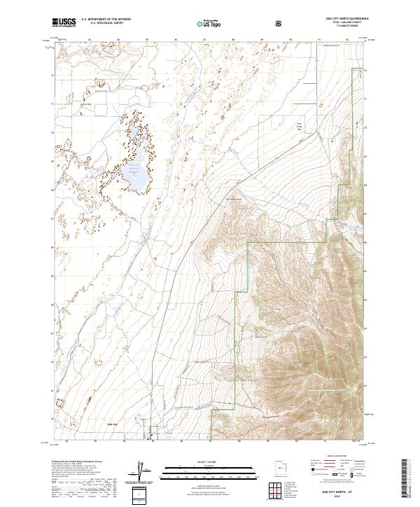
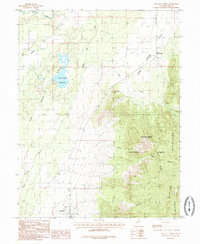 1985 Oak City North1985 Print · USGSMillard County's agricultural edge is captured here in the mid-1980s, where the high desert meets the forest. Genealogists and researchers can trace the water systems of Oak City or locate family landmarks like Taylors Flat and Fool Creek Reservoir.
 - 1985 Map of Oak City South
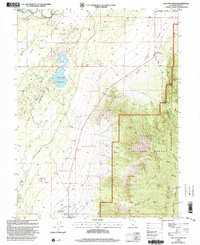
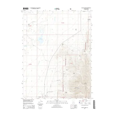
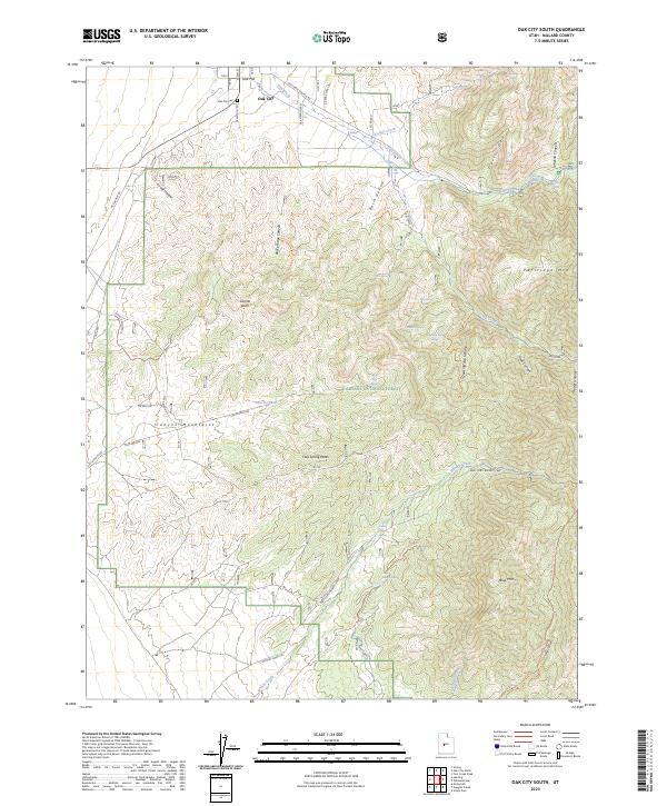
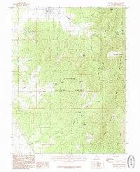 1985 Oak City South1985 Print · USGSOak City and the surrounding Millard County foothills are captured in the mid-1980s as a quiet intersection of agriculture and wilderness. Researchers can trace local landmarks like the Cem and Jack Hill or explore the rugged canyons of the Fishlake National Forest to find a hidden Mine Shaft and remote springs.
 - 1989 Map of Delta
 1989 Delta1989 Print · USGSThe Millard County desert in the late eighties reveals a complex irrigation system supporting agricultural life around Delta. Researchers can trace the layout of the Union Pacific Railroad, the historic site of Topaz Camp, and the volcanic features of Pahvant Butte.2 unique versions available
 - 2001 Map of Oak City South, 2003 Print
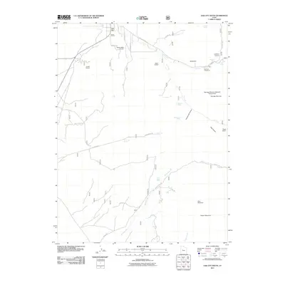
 2001 Oak City South2003 Print · USGSMillard County, Utah, is shown here as it transitioned into the new millennium, where the Pahant Valley rises into the high peaks of the Fish Lake National Forest. Researchers can locate the Cem near Oak City, trace old mining activity at a Mine Shaft, or find secluded spots like Oak Creek Campground.
 - 2001 Map of Oak City North, 2003 Print
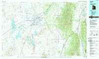
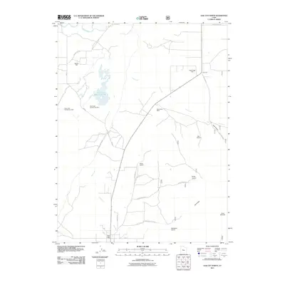
 2001 Oak City North2003 Print · USGSOak City and the surrounding Millard County desert are captured here as they appeared at the turn of the millennium. Researchers can trace the Central Utah Canal and historic landmarks like Fool Creek Reservoir, Corral, and the Sand Dunes.
 - 2011 Map of Oak City North, 2011 Print
 2011 Oak City North2011 Print · USGSCovers Oak City, including Millard County, United States, and other nearby areas
 - 2011 Map of Oak City South, 2011 Print
 2011 Oak City South2011 Print · USGSCovers Oak City, including Millard County, United States, and other nearby areas
 - 2014 Map of Oak City South, 2014 Print
 2014 Oak City South2014 Print · USGSCovers Oak City, including Millard County, United States, and other nearby areas
 - 2014 Map of Oak City North, 2014 Print
 2014 Oak City North2014 Print · USGSCovers Oak City, including Millard County, United States, and other nearby areas
 - 2017 Map of Oak City South, 2017 Print
 2017 Oak City South2017 Print · USGSCovers Oak City, including Millard County, United States, and other nearby areas
 - 2017 Map of Oak City North, 2017 Print
 2017 Oak City North2017 Print · USGSCovers Oak City, including Millard County, United States, and other nearby areas
 - 2020 Map of Oak City South, 2020 Print
 2020 Oak City South2020 Print · USGSCovers Oak City, including Millard County, United States, and other nearby areas
 - 2020 Map of Oak City North, 2020 Print
 2020 Oak City North2020 Print · USGSCovers Oak City, including Millard County, United States, and other nearby areas
 - 2023 Map of Oak City South, 2023 Print
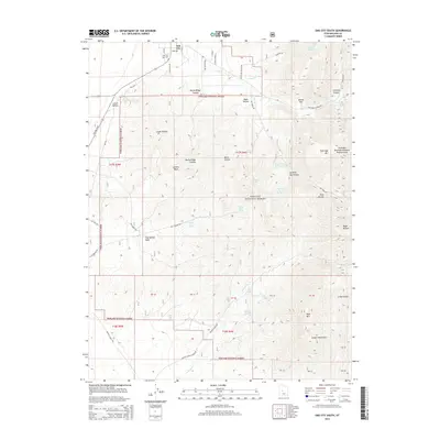
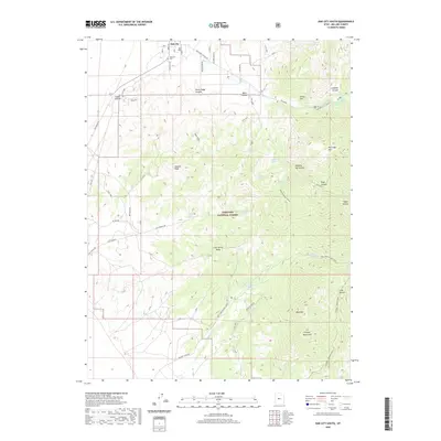
 2023 Oak City South2023 Print · USGSOak City rests at the foot of the Canyon Mountains in the early twenty-first century, serving as the gateway to the high desert wilderness. Researchers can trace the town grid and Oak City Cem before exploring the remote springs of Fishlake National Forest like Watercress Spring.
 - 2023 Map of Oak City North, 2023 Print
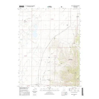
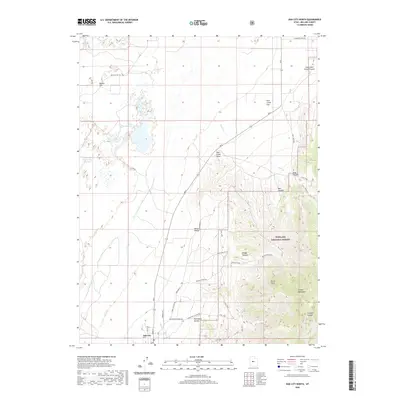
 2023 Oak City North2023 Print · USGSOak City and the surrounding Millard County high desert appear here in recent years as the Canyon Mountains rise over the valley floor. Genealogists and local historians can trace the irrigation networks of the Central Utah Canal and locate landmarks like Taylors Flat and Fool Creek Reservoir Number 1.
End of results
Showing maps 1-20 of 20
Top cities near Oak City
Frequently asked questions
- What are the different types of historical maps available for Oak City?
- What is the oldest map of Oak City?
- Where can I purchase historical maps of Oak City for my home or office?
- Where can I download high-res historical maps of Oak City?
- Are there historical topographic maps available for Oak City?
- Is there historical aerial imagery available for Oak City?
- Where are historical maps of Oak City sourced from?