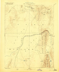
1885 Map of Sevier Desert
USGS Topo · Published 1921About this map
The Central Pacific Railroad traces a winding path across this high desert landscape, connecting the Sevier Desert to the burgeoning mining districts in the northeast. This region, captured during the late nineteenth-century mining boom, shows a concentrated network of settlements including Eureka, Silver City, Diamond City, and Tintic tucked between the West Tintic Mountains and East Tintic Mountains. These towns served as the industrial hubs for the mineral-rich Tintic district during its most productive years.
Find a feature on this map
34 named features on this map. Tap any name to fly to it.
Don’t see what you’re looking for? This feature index may not catch every label — zoom into the map to look around manually.
Map Details
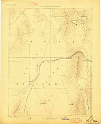
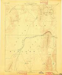
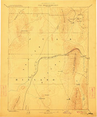
Editions of this 1885 Sevier Desert Map
5 editions found
Other maps of this area

1885 · Salt Lake
USGS Topo · 1:250,000

1885 · Manti
USGS Topo · 1:250,000

1885 · Beaver
USGS Topo · 1:250,000

1885 · Sevier Desert
USGS Topo · 1:250,000

1885 · Fish Lake
USGS Topo · 1:250,000

1885 · Tooele Valley
USGS Topo · 1:250,000

1895 · Manti
USGS Topo · 1:250,000

1896 · Fish Lake
USGS Topo · 1:250,000

1908 · Fish Springs
USGS Topo · 1:250,000

1910 · Fish Springs
USGS Topo · 1:250,000