
1953 Map of Dugway Pass
USGS Topo · Published 1955About this map
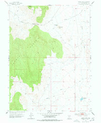
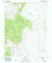
The Pony Express Route cuts across this high desert landscape, marking the historic path of early transcontinental mail through Juab County. This 1953 survey captures the area at a time when the Dugway Pony Express Sta and nearby Simpson Springs served as critical landmarks for travelers navigating the arid terrain between the Dugway Range and the Thomas Range. The map reveals the vital importance of water in this environment, documenting features like the East Topaz 2 Reservoir and Bittner Knoll Res. Steep elevation changes are evident at Dugway Pass, where a series of unimproved dirt roads and a Jeep Trail provide the only access through the mountain gaps. The drainage patterns of Pismire Wash and the North Fork illustrate the seasonal hydrology of this remote Utah territory.
Find a feature on this map
16 named features on this map. Tap any name to fly to it.
Don’t see what you’re looking for? This feature index may not catch every label — zoom into the map to look around manually.
Map Details
Editions of this 1953 Dugway Pass Map
3 editions found
Other maps of this area

1885 · Sevier Desert
USGS Topo · 1:250,000

1908 · Fish Springs
USGS Topo · 1:250,000

1910 · Fish Springs
USGS Topo · 1:250,000

1953 · Dugway Range NE
USGS Topo · 1:24,000

1953 · Dugway Range
USGS Topo · 1:62,500

1953 · Topaz Mtn
USGS Topo · 1:62,500

1953 · Dugway Range NW
USGS Topo · 1:24,000

1953 · Delta
USGS Topo · 1:250,000
1955 · Table Mountain
USGS Topo · 1:24,000

1958 · Delta
USGS Topo · 1:250,000