
1953 Map of Dugway Range
USGS Topo · Published 1955About this map
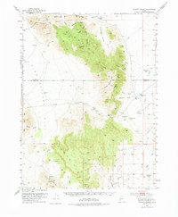
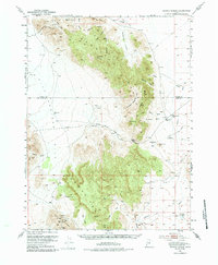
The Pony Express Route cuts through this high desert terrain in the early 1950s, marking a historic corridor of communication that follows the base of the Dugway Range. This survey documents a landscape defined by isolated water sources and industrial extraction, featuring the Dugway Pony Express Sta near Pismire Wash. The northern sections are heavily influenced by the presence of the Wendover Bombing and Gunnery Range, while the mountainous interior is dotted with numerous small-scale mining operations including the Cannon Mine, Four Metal Mine, and the Lost Sheep Mine. Critical water points like Simpson Springs and the Dugway Topaz Well provided necessary relief in an otherwise arid expanse where Dugway Pass offered a primary route through the range's central peaks.
Find a feature on this map
40 named features on this map. Tap any name to fly to it.
Don’t see what you’re looking for? This feature index may not catch every label — zoom into the map to look around manually.
Map Details
Editions of this 1953 Dugway Range Map
3 editions found
Other maps of this area

1885 · Sevier Desert
USGS Topo · 1:250,000

1885 · Tooele Valley
USGS Topo · 1:250,000

1908 · Fish Springs
USGS Topo · 1:250,000

1910 · Fish Springs
USGS Topo · 1:250,000

1953 · Dugway Range NE
USGS Topo · 1:24,000

1953 · Dugway Pass
USGS Topo · 1:24,000

1953 · Topaz Mtn
USGS Topo · 1:62,500

1953 · Dugway Range NW
USGS Topo · 1:24,000

1953 · Tooele
USGS Topo · 1:250,000

1953 · Delta
USGS Topo · 1:250,000