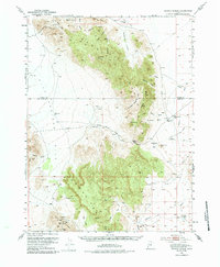
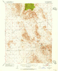
1953 Map of Dugway Range
USGS Topo · Published 1984About this map
The Dugway Range and Thomas Range dominate this West Desert landscape, where the legacy of early western transit and mining is etched into the high desert floor. The historic Pony Express Route cuts across the terrain, marked by the Dugway Pony Express Sta and following the Simpson Springs Road. This thoroughfare once connected the isolated outposts of the Utah Territory, passing through the gap at Dugway Pass between Shadscale Canyon and Grass Valley.
Find a feature on this map
49 named features on this map. Tap any name to fly to it.
Don’t see what you’re looking for? This feature index may not catch every label — zoom into the map to look around manually.
Map Details
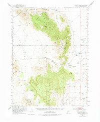
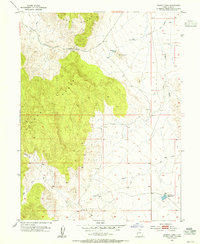
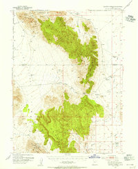
Editions of this 1953 Dugway Range Map
3 editions found
Other maps of this area

1885 · Sevier Desert
USGS Topo · 1:250,000

1885 · Tooele Valley
USGS Topo · 1:250,000

1908 · Fish Springs
USGS Topo · 1:250,000

1910 · Fish Springs
USGS Topo · 1:250,000

1953 · Dugway Range NE
USGS Topo · 1:24,000
1953 · Dugway Pass
USGS Topo · 1:24,000
1953 · Dugway Range
USGS Topo · 1:62,500
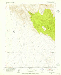
1953 · Topaz Mtn
USGS Topo · 1:62,500
1953 · Dugway Range NW
USGS Topo · 1:24,000

1953 · Tooele
USGS Topo · 1:250,000