
1949 Map of Garrison
USGS Topo · Published 1957About this map
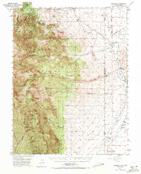
Garrison stands as the primary settlement on this Nevada-Utah borderland survey, situated where the high slopes of the Snake Range descend into the expansive Snake Valley. The landscape is defined by dramatic transitions from the high peaks of the Nevada National Forest to the arid valley floor, punctuated by geological landmarks like Lehman Caves National Monument and the distant Lexington Arch. The mapping records a sparse network of agricultural life, specifically noted through family holdings such as Davies Ranch, Young Ranch, and Dearden Ranch. These outposts relied on the precarious water flow from canyons like Snake Creek and Lexington Creek. A Landing Field near the state line and the waters of Pruess Lake mark the limited infrastructure of this era, while the Burbank Cem and Garrison Cemetery provide vital points of reference for local family history.
Find a feature on this map
45 named features on this map. Tap any name to fly to it.
Don’t see what you’re looking for? This feature index may not catch every label — zoom into the map to look around manually.
Map Details
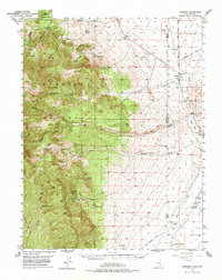
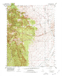
Editions of this 1949 Garrison Map
4 editions found
Other maps of this area

1908 · Fish Springs
USGS Topo · 1:250,000

1910 · Fish Springs
USGS Topo · 1:250,000

1948 · Wheeler Peak
USGS Topo · 1:62,500

1950 · Wheeler Peak
USGS Topo · 1:62,500

1951 · Garrison
USGS Topo · 1:62,500

1953 · Richfield
USGS Topo · 1:250,000

1953 · Delta
USGS Topo · 1:250,000

1956 · Lund
USGS Topo · 1:250,000

1956 · Ely
USGS Topo · 1:250,000

1958 · Richfield
USGS Topo · 1:250,000