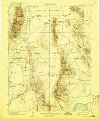
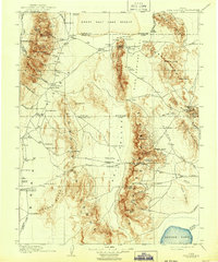
1910 Map of Fish Springs
USGS Topo · Published 1920About this map
Queen of Sheba Mine and the Utah Mine highlight the industrial activity in this remote desert landscape during the early twentieth century. This 1908 survey covers the intersection of Tooele, Juab, and Millard Counties, a region characterized by isolated mountain ranges separated by expansive valleys. Remote ranching outposts such as Sixmile Ranch, Conger Ranch, and Simonson's Ranch provided vital footholds for settlers, while Boyd Station and Callao served as essential stopping points along established trails.
Find a feature on this map
96 named features on this map. Tap any name to fly to it.
Don’t see what you’re looking for? This feature index may not catch every label — zoom into the map to look around manually.
Map Details
Editions of this 1910 Fish Springs Map
6 editions found
Other maps of this area

1885 · Beaver
USGS Topo · 1:250,000

1885 · Sevier Desert
USGS Topo · 1:250,000

1885 · Tooele Valley
USGS Topo · 1:250,000

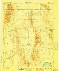
1908 · Fish Springs
USGS Topo · 1:250,000

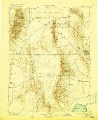
1910 · Fish Springs
USGS Topo · 1:250,000

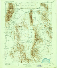
1925 · Gold Hill
USGS Topo · 1:62,500

1928 · Gold Hill
USGS Topo · 1:62,500

1949 · Garrison
USGS Topo · 1:62,500

1951 · Garrison
USGS Topo · 1:62,500

1953 · Dugway Range NE
USGS Topo · 1:24,000