
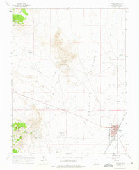
1958 Map of Milford
USGS Topo · Published 1960About this map
Mining operations and the Union Pacific railroad define the high-desert landscape of Milford in the late 1950s. The town serves as a hub for the surrounding Rocky Range and Star Range, where numerous active and historical extraction sites are located. Prominent among these are the Montreal Mine, Old Hickory Mine, and the Harrington-Hickory Mine to the southwest. The presence of the Milford Municipal Airport and the Fairground indicates the town's role as a regional center, while the Beaver River and drainage features like The Big Wash highlight the critical role of water in the Escalante Desert. Historical evidence of previous infrastructure is preserved via the Old Railroad Grade winding through the hills, and the former settlement at Blueacre suggests shifting patterns of human activity in this arid environment.
Find a feature on this map
35 named features on this map. Tap any name to fly to it.
Don’t see what you’re looking for? This feature index may not catch every label — zoom into the map to look around manually.
Map Details
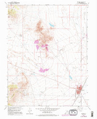
Editions of this 1958 Milford Map
3 editions found
Other maps of this area

1885 · Beaver
USGS Topo · 1:250,000

1953 · Milford Flat
USGS Topo · 1:24,000

1953 · Cave Canyon
USGS Topo · 1:24,000

1953 · Richfield
USGS Topo · 1:250,000

1958 · Richfield
USGS Topo · 1:250,000

1958 · Milford
USGS Topo · 1:62,500

1958 · Adamsville
USGS Topo · 1:62,500

1958 · Ranch Canyon
USGS Topo · 1:24,000

1960 · Beaver Lake Mts.
USGS Topo · 1:62,500

1973 · Read
USGS Topo · 1:24,000