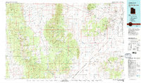
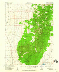
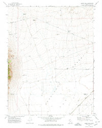
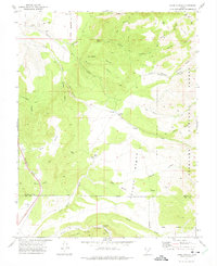
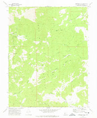
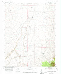
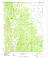
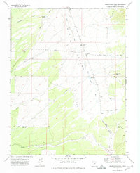
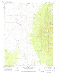
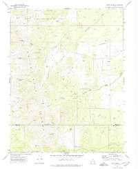
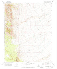
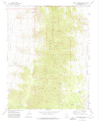
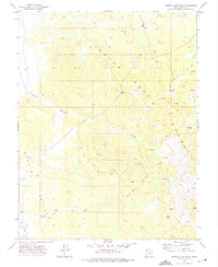
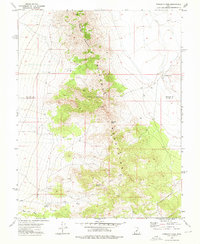
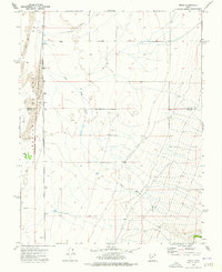
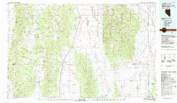
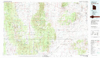
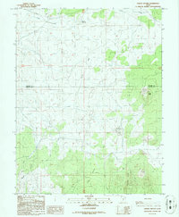
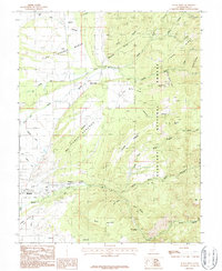
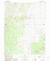
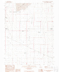
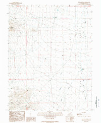
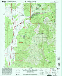
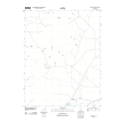
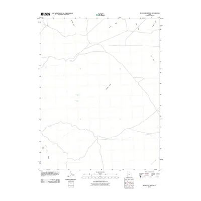
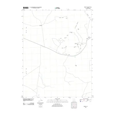
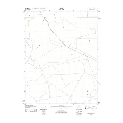
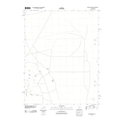
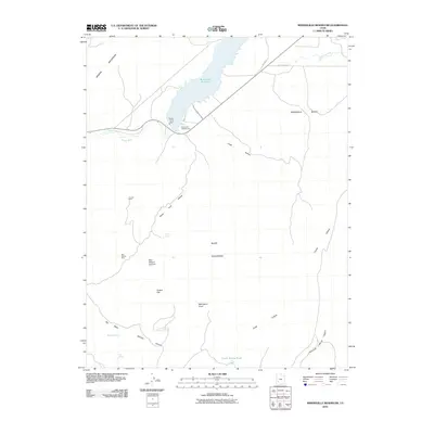
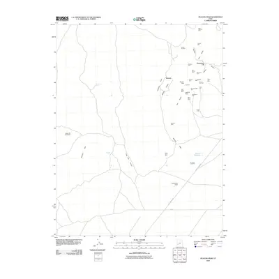
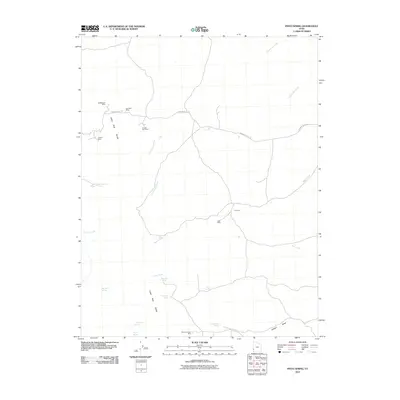
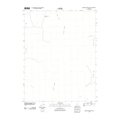
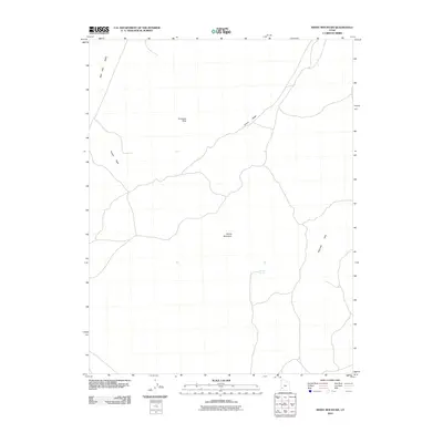
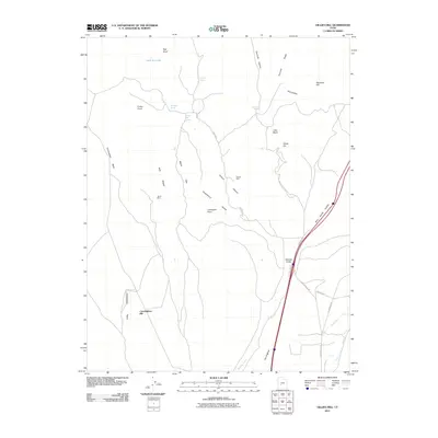
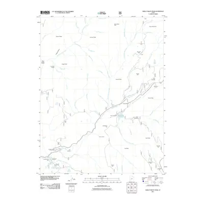
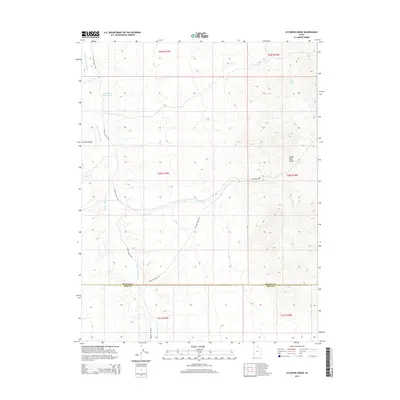
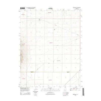
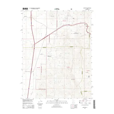
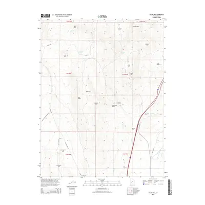
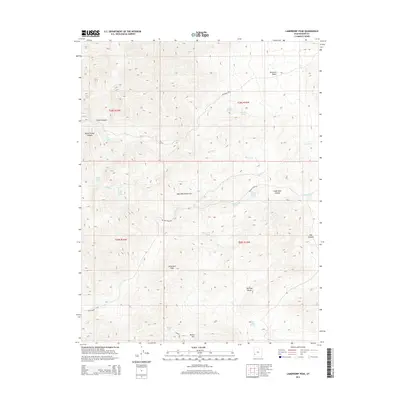
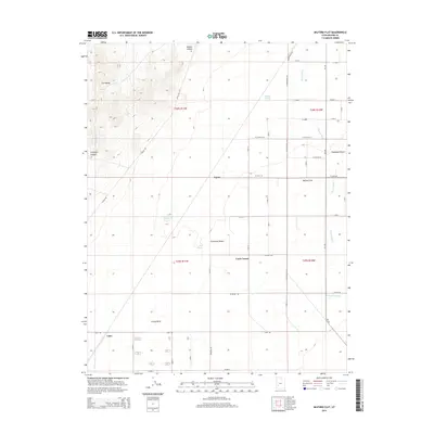
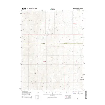
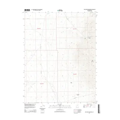
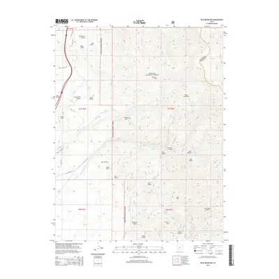
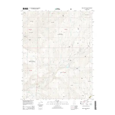
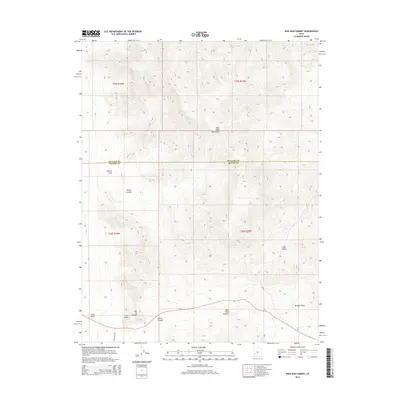
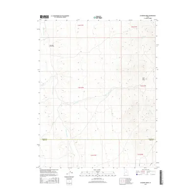
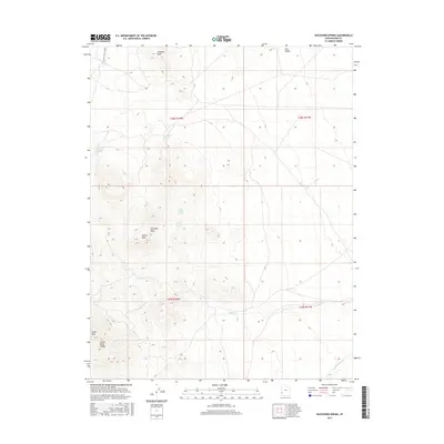
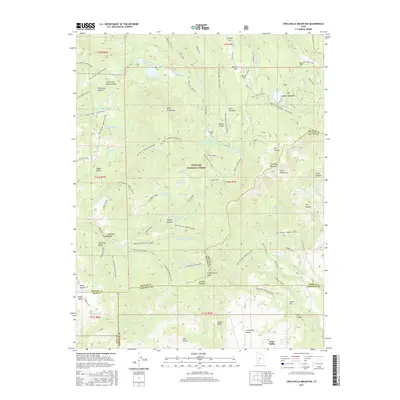
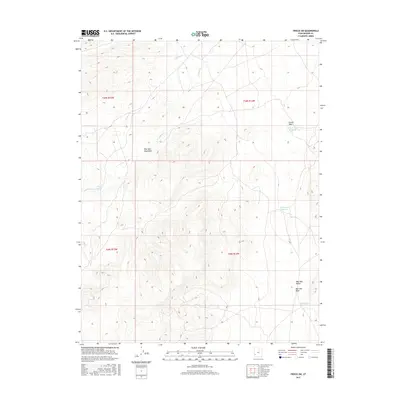
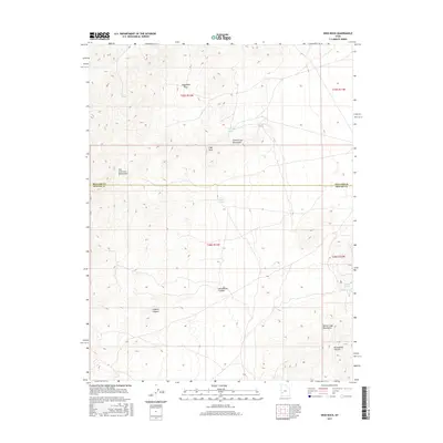
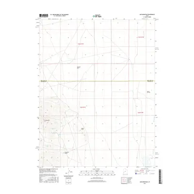
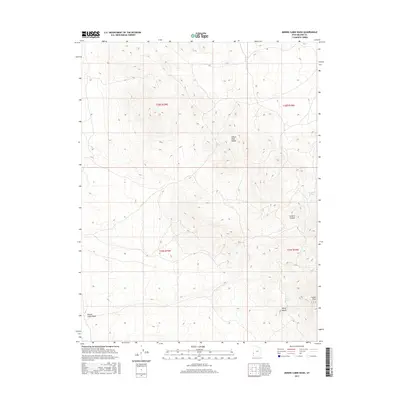
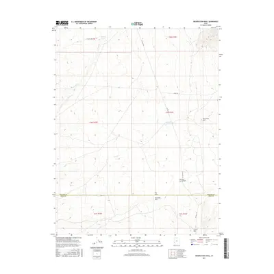
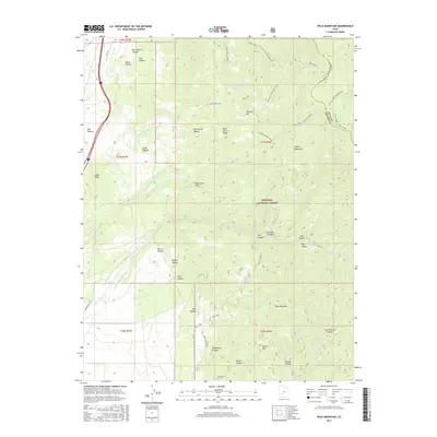
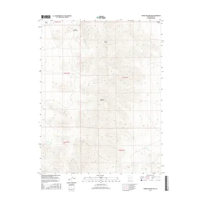
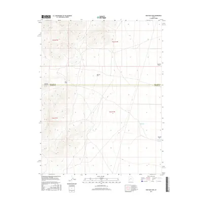
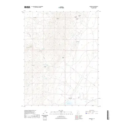
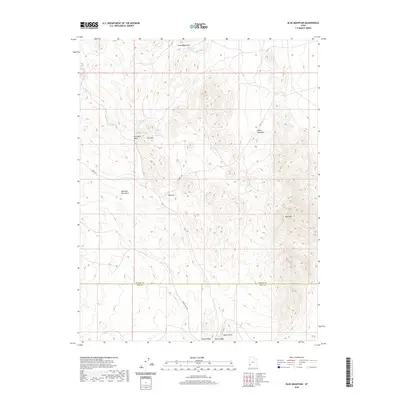
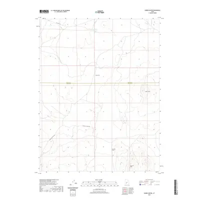
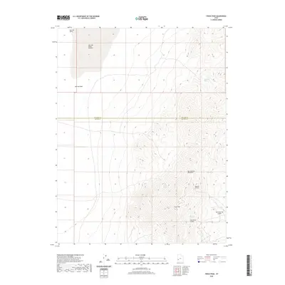
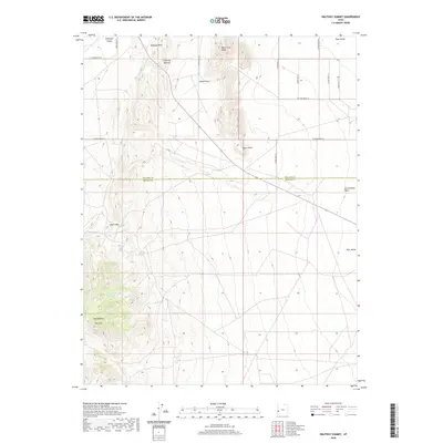
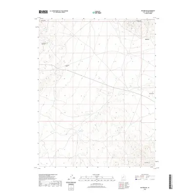
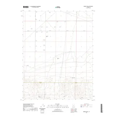
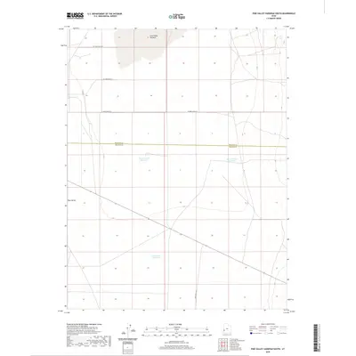
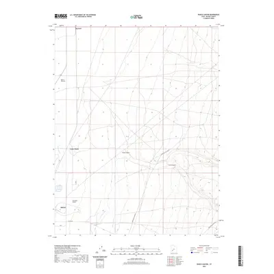
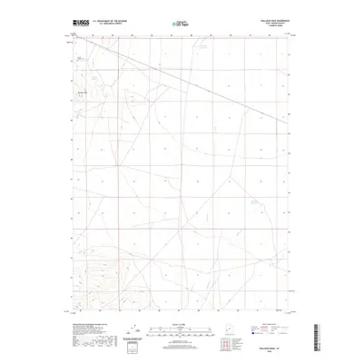
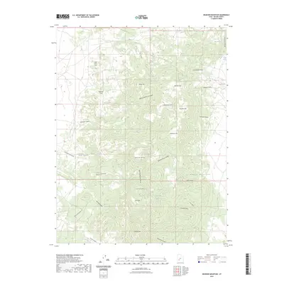
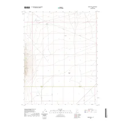
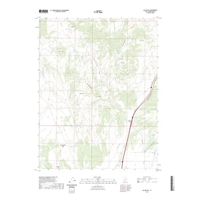
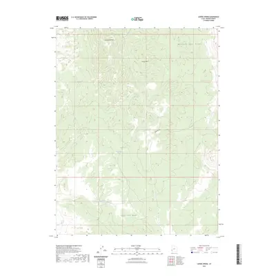
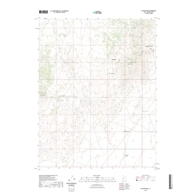
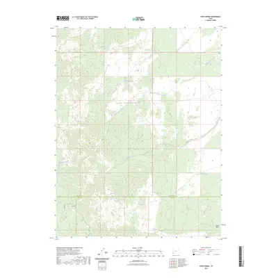
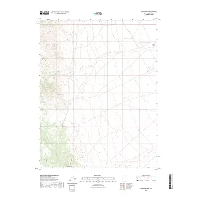
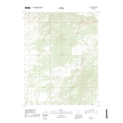
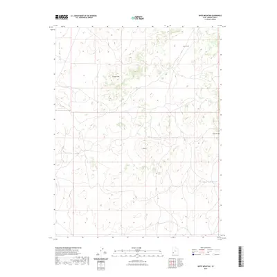
1980 Map of Wah Wah Mts. South
USGS Topo · Published 1984About this map
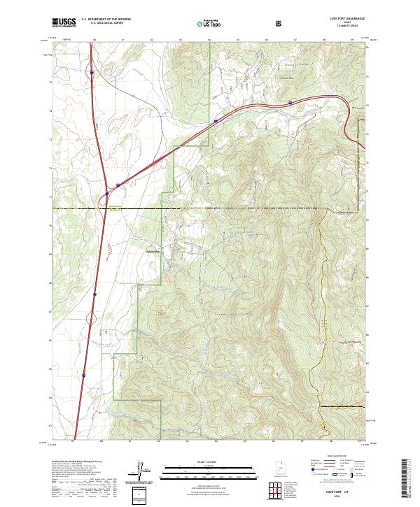
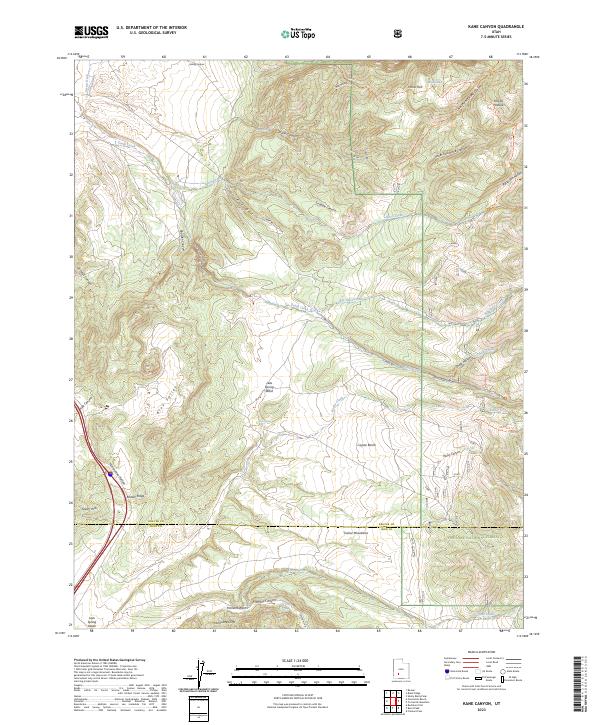
Mining operations and remote desert outposts define this western Utah landscape, where the Wah Wah Mountains and Needles Range rise from the arid floor of the Escalante Desert. Compiled from surveys spanning the mid-20th century, the map documents the concentration of mineral extraction in the Shauntie Hills and north of the Black Mountains, featuring sites like the Copper King Mine and Velvet Silver Mine. The industrial footprint is further evidenced by the Union Pacific Railroad corridor, which connects small settlements like Lund and Milford to the wider region.
Find a feature on this map
94 named features on this map. Tap any name to fly to it.
Don’t see what you’re looking for? This feature index may not catch every label — zoom into the map to look around manually.
Map Details
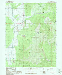
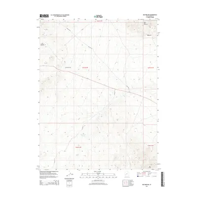
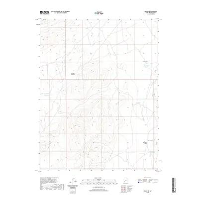
Editions of this 1980 Wah Wah Mts. South Map
2 editions found
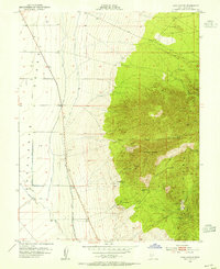
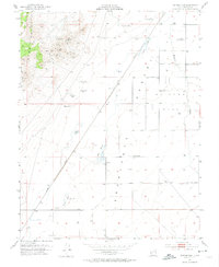
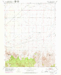
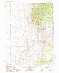
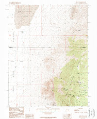
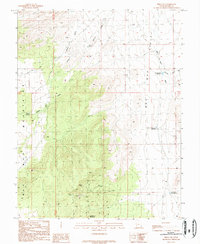
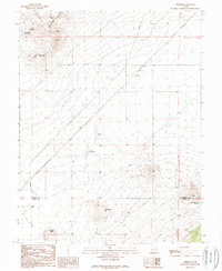
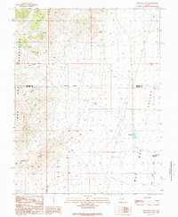
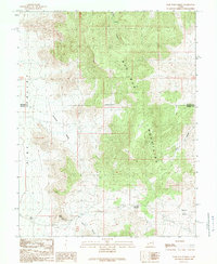
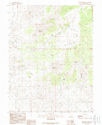
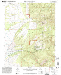
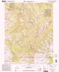
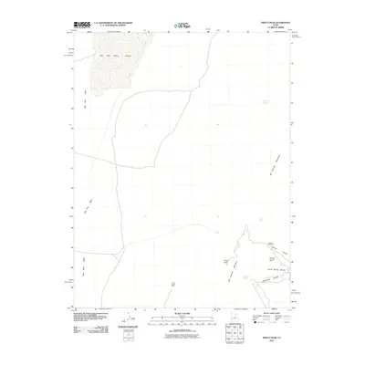
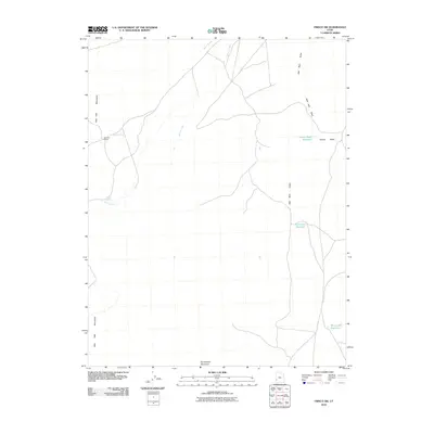
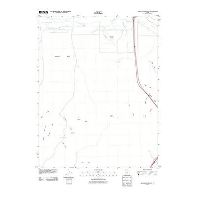
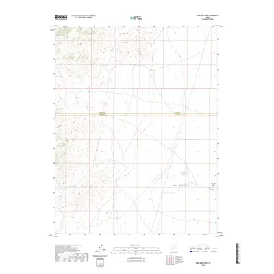
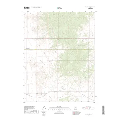
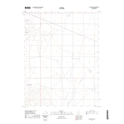
Historical Maps of Milford Through Time
294 maps found
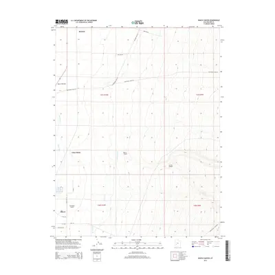
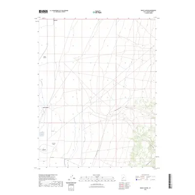
1953 Cave Canyon
Beaver County, UT
1953 Milford Flat
Beaver County, UT
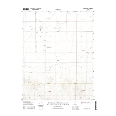
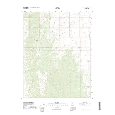
1953 Ninemile Knoll
Beaver County, UT

1954 Beaver NE
Beaver County, UT

1954 Beaver SE
Beaver County, UT
1958 Adamsville
Beaver County, UT
1958 Ranch Canyon
Beaver County, UT
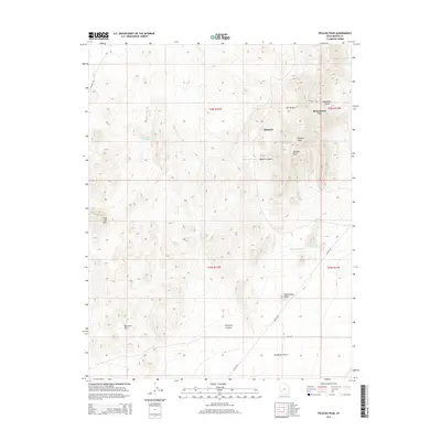
1959 Frisco
Beaver County, UT
1971 Atchison Creek
Beaver County, UT

1971 Blue Mountain
Beaver County, UT
1971 Burns Knoll
Beaver County, UT
1971 Circleville Mtn
Beaver County, UT
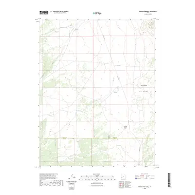
1971 Greenville Bench
Beaver County, UT
1971 Halfway Summit
Beaver County, UT
1971 Kane Canyon
Beaver County, UT
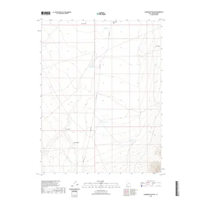
1971 Lamerdorf Peak
Beaver County, UT
1971 Lamerdorf Peak NW
Beaver County, UT
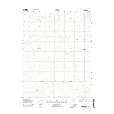
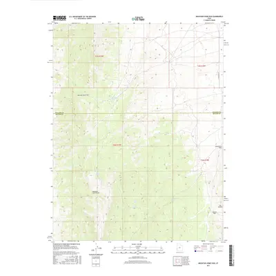
1971 Mountain Home Pass
Beaver County, UT
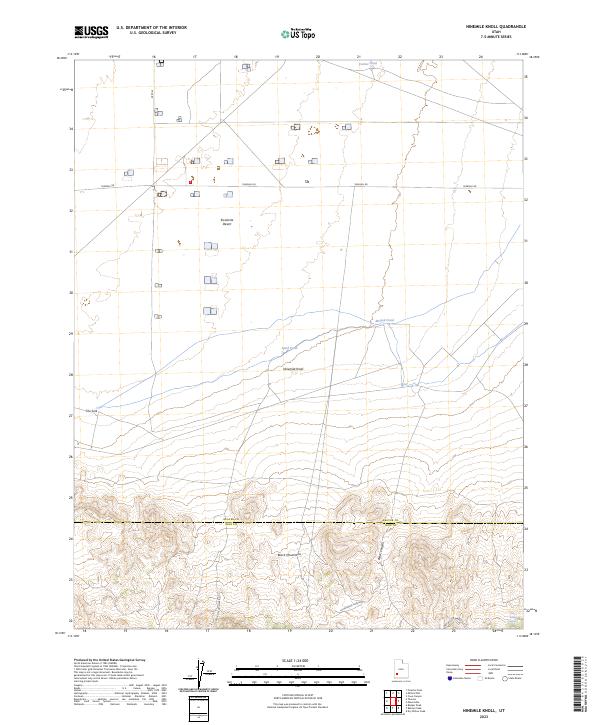
1971 Observation Knoll
Beaver County, UT
1971 Pine Grove Reservoir
Beaver County, UT
1971 Pinto Spring
Beaver County, UT
1971 Sawtooth Peak
Beaver County, UT
1971 Sewing Machine Pass
Beaver County, UT
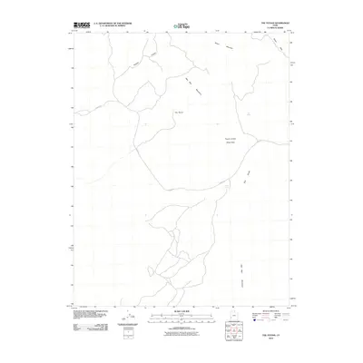
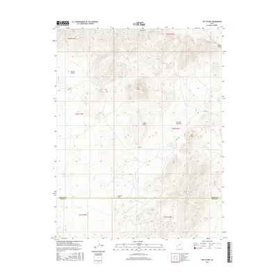
1971 The Tetons
Beaver County, UT
1972 Buckhorn Spring
Beaver County, UT
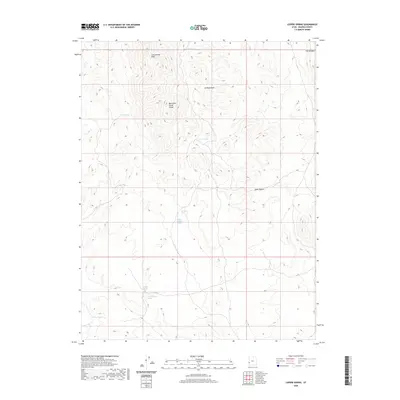
1972 Lopers Spring
Beaver County, UT
1972 Miners Cabin Wash
Beaver County, UT
1973 Pinnacle Pass
Beaver County, UT
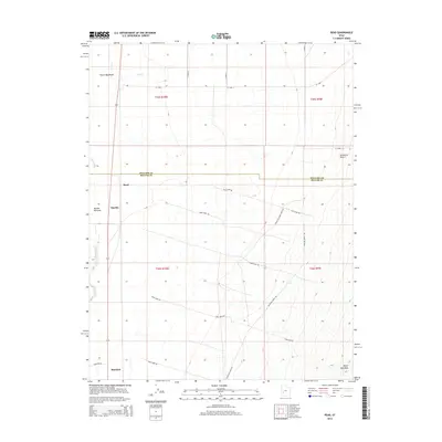
1973 Read
Beaver County, UT
1979 Garrison
Beaver County, UT
1980 Wah Wah Mts. South
Beaver County, UT
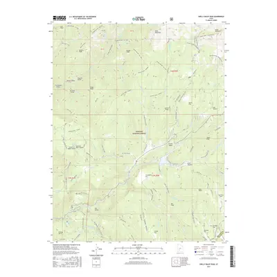
1981 Shelly Baldy Peak
Beaver County, UT
1986 Adamsville
Beaver County, UT
1986 Bearskin Mountain
Beaver County, UT
1986 Cinder Crater
Beaver County, UT
1986 Cove Fort
Beaver County, UT
1986 Gillies Hill
Beaver County, UT
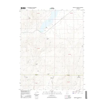
1986 Minersville Reservoir
Beaver County, UT
1987 Black Ridge
Beaver County, UT

1987 Pole Mountain
Beaver County, UT
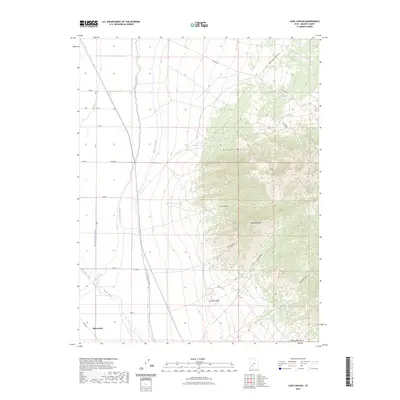
1989 Frisco
Beaver County, UT
1989 Frisco Peak
Beaver County, UT
1989 Frisco SW
Beaver County, UT
1989 High Rock
Beaver County, UT
1989 Lime Mountain
Beaver County, UT
1989 Milford NW
Beaver County, UT
1989 Picacho Peak
Beaver County, UT
1989 Pine Valley Hardpan South
Beaver County, UT
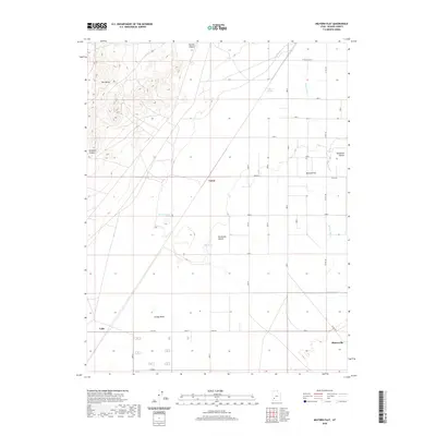
1989 Thermo
Beaver County, UT
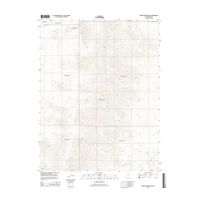
1989 Wah Wah Cove
Beaver County, UT
1989 Wah Wah Summit
Beaver County, UT
1989 Wallaces Peak
Beaver County, UT
1989 White Mountain
Beaver County, UT
2001 Black Ridge
Beaver County, UT
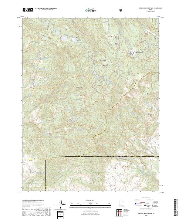
2001 Circleville Mountain
Beaver County, UT
2001 Cove Fort
Beaver County, UT
2001 Kane Canyon
Beaver County, UT
2001 Pole Mountain
Beaver County, UT
2001 Shelly Baldy Peak
Beaver County, UT
2010 Adamsville
Beaver County, UT
2010 Atchison Creek
Beaver County, UT
2010 Bearskin Mountain
Beaver County, UT
2010 Blue Mountain
Beaver County, UT
2010 Buckhorn Spring
Beaver County, UT
2010 Burns Knoll
Beaver County, UT
2010 Cave Canyon
Beaver County, UT
2010 Cinder Crater
Beaver County, UT
2010 Frisco
Beaver County, UT
2010 Frisco Peak
Beaver County, UT
2010 Frisco SW
Beaver County, UT
2010 Greenville Bench
Beaver County, UT
2010 Halfway Summit
Beaver County, UT
2010 High Rock
Beaver County, UT
2010 Lamerdorf Peak
Beaver County, UT
2010 Lamerdorf Peak NW
Beaver County, UT
2010 Lime Mountain
Beaver County, UT
2010 Lopers Spring
Beaver County, UT
2010 Milford NW
Beaver County, UT
2010 Miners Cabin Wash
Beaver County, UT
2010 Minersville Reservoir
Beaver County, UT
2010 Mountain Home Pass
Beaver County, UT
2010 Ninemile Knoll
Beaver County, UT
2010 Observation Knoll
Beaver County, UT
2010 Picacho Peak
Beaver County, UT
2010 Pine Grove Reservoir
Beaver County, UT
2010 Pine Valley Hardpan South
Beaver County, UT
2010 Pinnacle Pass
Beaver County, UT
2010 Pinto Spring
Beaver County, UT
2010 Ranch Canyon
Beaver County, UT
2010 Read
Beaver County, UT
2010 Sawtooth Peak
Beaver County, UT
2010 Sewing Machine Pass
Beaver County, UT
2010 The Tetons
Beaver County, UT
2010 Wah Wah Cove
Beaver County, UT
2010 Wallaces Peak
Beaver County, UT
2010 White Mountain
Beaver County, UT
2011 Black Ridge
Beaver County, UT
2011 Circleville Mountain
Beaver County, UT
2011 Cove Fort
Beaver County, UT
2011 Gillies Hill
Beaver County, UT
2011 Kane Canyon
Beaver County, UT
2011 Milford Flat
Beaver County, UT
2011 Pole Mountain
Beaver County, UT
2011 Shelly Baldy Peak
Beaver County, UT
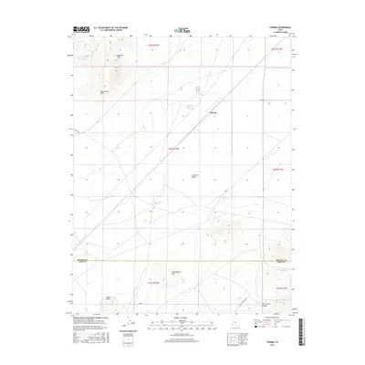
2011 Thermo
Beaver County, UT
2011 Wah Wah Summit
Beaver County, UT
2014 Adamsville
Beaver County, UT
2014 Atchison Creek
Beaver County, UT
2014 Bearskin Mountain
Beaver County, UT
2014 Black Ridge
Beaver County, UT
2014 Blue Mountain
Beaver County, UT

2014 Buckhorn Spring
Beaver County, UT
2014 Burns Knoll
Beaver County, UT
2014 Cave Canyon
Beaver County, UT
2014 Cinder Crater
Beaver County, UT
2014 Circleville Mountain
Beaver County, UT
2014 Cove Fort
Beaver County, UT
2014 Frisco
Beaver County, UT
2014 Frisco Peak
Beaver County, UT
2014 Frisco SW
Beaver County, UT
2014 Gillies Hill
Beaver County, UT
2014 Greenville Bench
Beaver County, UT

2014 Halfway Summit
Beaver County, UT
2014 High Rock
Beaver County, UT
2014 Kane Canyon
Beaver County, UT
2014 Lamerdorf Peak
Beaver County, UT
2014 Lamerdorf Peak NW
Beaver County, UT
2014 Lime Mountain
Beaver County, UT
2014 Lopers Spring
Beaver County, UT
2014 Milford Flat
Beaver County, UT
2014 Milford NW
Beaver County, UT
2014 Miners Cabin Wash
Beaver County, UT
2014 Minersville Reservoir
Beaver County, UT
2014 Mountain Home Pass
Beaver County, UT
2014 Ninemile Knoll
Beaver County, UT
2014 Observation Knoll
Beaver County, UT
2014 Picacho Peak
Beaver County, UT
2014 Pine Grove Reservoir
Beaver County, UT
2014 Pine Valley Hardpan South
Beaver County, UT
2014 Pinnacle Pass
Beaver County, UT
2014 Pinto Spring
Beaver County, UT
2014 Pole Mountain
Beaver County, UT
2014 Ranch Canyon
Beaver County, UT
2014 Read
Beaver County, UT

2014 Sawtooth Peak
Beaver County, UT
2014 Sewing Machine Pass
Beaver County, UT
2014 Shelly Baldy Peak
Beaver County, UT
2014 Thermo
Beaver County, UT
2014 The Tetons
Beaver County, UT
2014 Wah Wah Cove
Beaver County, UT
2014 Wah Wah Summit
Beaver County, UT
2014 Wallaces Peak
Beaver County, UT
2014 White Mountain
Beaver County, UT
2017 Adamsville
Beaver County, UT
2017 Atchison Creek
Beaver County, UT
2017 Bearskin Mountain
Beaver County, UT
2017 Black Ridge
Beaver County, UT
2017 Blue Mountain
Beaver County, UT
2017 Buckhorn Spring
Beaver County, UT
2017 Burns Knoll
Beaver County, UT
2017 Cave Canyon
Beaver County, UT
2017 Cinder Crater
Beaver County, UT
2017 Circleville Mountain
Beaver County, UT
2017 Cove Fort
Beaver County, UT
2017 Frisco
Beaver County, UT
2017 Frisco Peak
Beaver County, UT
2017 Frisco SW
Beaver County, UT
2017 Gillies Hill
Beaver County, UT
2017 Greenville Bench
Beaver County, UT
2017 Halfway Summit
Beaver County, UT
2017 High Rock
Beaver County, UT
2017 Kane Canyon
Beaver County, UT
2017 Lamerdorf Peak
Beaver County, UT
2017 Lamerdorf Peak NW
Beaver County, UT
2017 Lime Mountain
Beaver County, UT
2017 Lopers Spring
Beaver County, UT
2017 Milford Flat
Beaver County, UT
2017 Milford NW
Beaver County, UT
2017 Miners Cabin Wash
Beaver County, UT
2017 Minersville Reservoir
Beaver County, UT
2017 Mountain Home Pass
Beaver County, UT
2017 Ninemile Knoll
Beaver County, UT
2017 Observation Knoll
Beaver County, UT

2017 Picacho Peak
Beaver County, UT
2017 Pine Grove Reservoir
Beaver County, UT
2017 Pine Valley Hardpan South
Beaver County, UT

2017 Pinnacle Pass
Beaver County, UT
2017 Pinto Spring
Beaver County, UT
2017 Pole Mountain
Beaver County, UT
2017 Ranch Canyon
Beaver County, UT
2017 Read
Beaver County, UT
2017 Sawtooth Peak
Beaver County, UT
2017 Sewing Machine Pass
Beaver County, UT
2017 Shelly Baldy Peak
Beaver County, UT
2017 Thermo
Beaver County, UT
2017 The Tetons
Beaver County, UT
2017 Wah Wah Cove
Beaver County, UT
2017 Wah Wah Summit
Beaver County, UT
2017 Wallaces Peak
Beaver County, UT
2017 White Mountain
Beaver County, UT
2020 Adamsville
Beaver County, UT
2020 Atchison Creek
Beaver County, UT
2020 Bearskin Mountain
Beaver County, UT
2020 Black Ridge
Beaver County, UT
2020 Blue Mountain
Beaver County, UT
2020 Buckhorn Spring
Beaver County, UT
2020 Burns Knoll
Beaver County, UT
2020 Cave Canyon
Beaver County, UT
2020 Cinder Crater
Beaver County, UT
2020 Circleville Mountain
Beaver County, UT
2020 Cove Fort
Beaver County, UT
2020 Frisco
Beaver County, UT
2020 Frisco Peak
Beaver County, UT
2020 Frisco SW
Beaver County, UT
2020 Gillies Hill
Beaver County, UT
2020 Greenville Bench
Beaver County, UT
2020 Halfway Summit
Beaver County, UT
2020 High Rock
Beaver County, UT
2020 Kane Canyon
Beaver County, UT
2020 Lamerdorf Peak
Beaver County, UT
2020 Lamerdorf Peak NW
Beaver County, UT
2020 Lime Mountain
Beaver County, UT
2020 Lopers Spring
Beaver County, UT
2020 Milford Flat
Beaver County, UT
2020 Milford NW
Beaver County, UT
2020 Miners Cabin Wash
Beaver County, UT
2020 Minersville Reservoir
Beaver County, UT
2020 Mountain Home Pass
Beaver County, UT
2020 Ninemile Knoll
Beaver County, UT
2020 Observation Knoll
Beaver County, UT
2020 Picacho Peak
Beaver County, UT
2020 Pine Grove Reservoir
Beaver County, UT
2020 Pine Valley Hardpan South
Beaver County, UT
2020 Pinnacle Pass
Beaver County, UT
2020 Pinto Spring
Beaver County, UT
2020 Pole Mountain
Beaver County, UT
2020 Ranch Canyon
Beaver County, UT
2020 Read
Beaver County, UT
2020 Sawtooth Peak
Beaver County, UT
2020 Sewing Machine Pass
Beaver County, UT
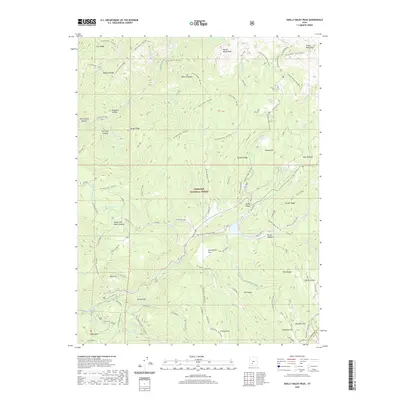
2020 Shelly Baldy Peak
Beaver County, UT
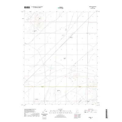
2020 Thermo
Beaver County, UT

2020 The Tetons
Beaver County, UT
2020 Wah Wah Cove
Beaver County, UT
2020 Wah Wah Summit
Beaver County, UT
2020 Wallaces Peak
Beaver County, UT
2020 White Mountain
Beaver County, UT
2023 Adamsville
Beaver County, UT
2023 Atchison Creek
Beaver County, UT
2023 Bearskin Mountain
Beaver County, UT
2023 Black Ridge
Beaver County, UT
2023 Blue Mountain
Beaver County, UT
2023 Buckhorn Spring
Beaver County, UT
2023 Burns Knoll
Beaver County, UT
2023 Cave Canyon
Beaver County, UT
2023 Cinder Crater
Beaver County, UT
2023 Circleville Mountain
Beaver County, UT
2023 Cove Fort
Beaver County, UT
2023 Frisco
Beaver County, UT
2023 Frisco Peak
Beaver County, UT
2023 Frisco SW
Beaver County, UT
2023 Gillies Hill
Beaver County, UT
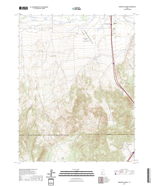
2023 Greenville Bench
Beaver County, UT
2023 Halfway Summit
Beaver County, UT
2023 High Rock
Beaver County, UT
2023 Kane Canyon
Beaver County, UT
2023 Lamerdorf Peak
Beaver County, UT
2023 Lamerdorf Peak NW
Beaver County, UT
2023 Lime Mountain
Beaver County, UT
2023 Lopers Spring
Beaver County, UT
2023 Milford Flat
Beaver County, UT
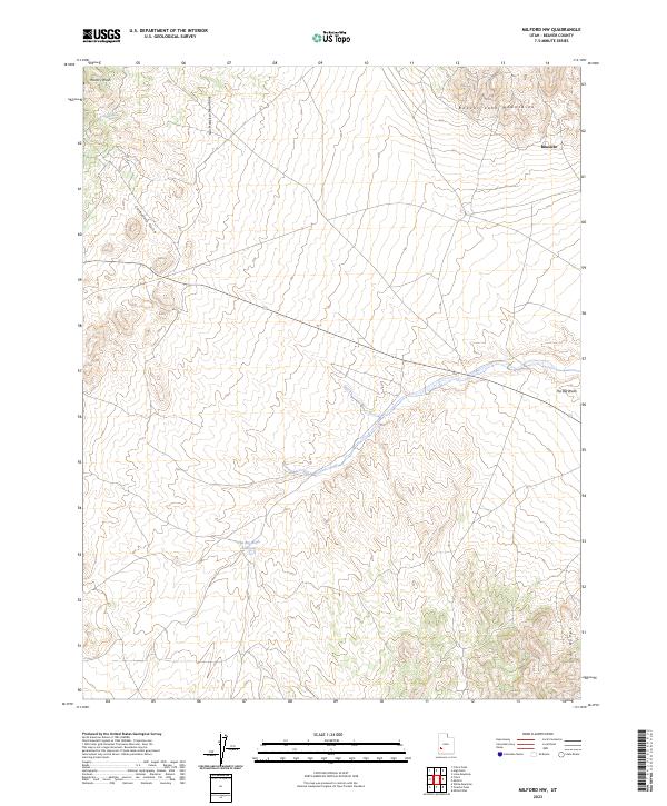
2023 Milford NW
Beaver County, UT
2023 Miners Cabin Wash
Beaver County, UT
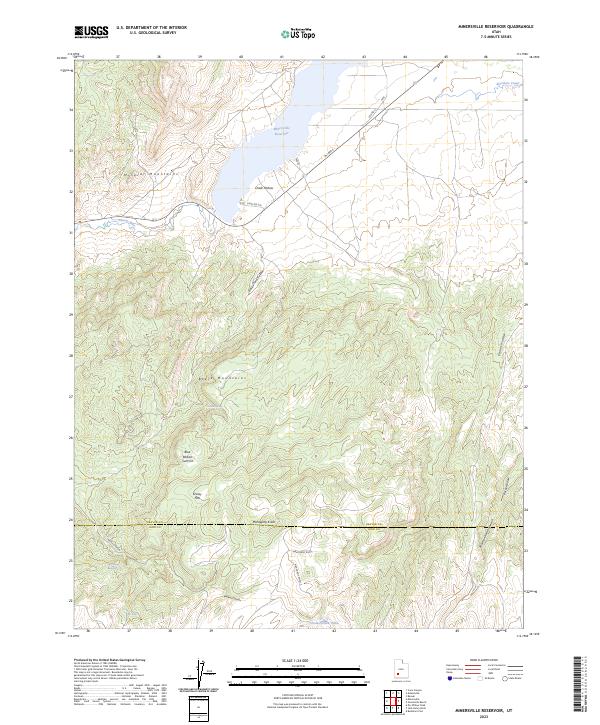
2023 Minersville Reservoir
Beaver County, UT
2023 Mountain Home Pass
Beaver County, UT
2023 Ninemile Knoll
Beaver County, UT
2023 Observation Knoll
Beaver County, UT
2023 Picacho Peak
Beaver County, UT
2023 Pine Grove Reservoir
Beaver County, UT
2023 Pine Valley Hardpan South
Beaver County, UT
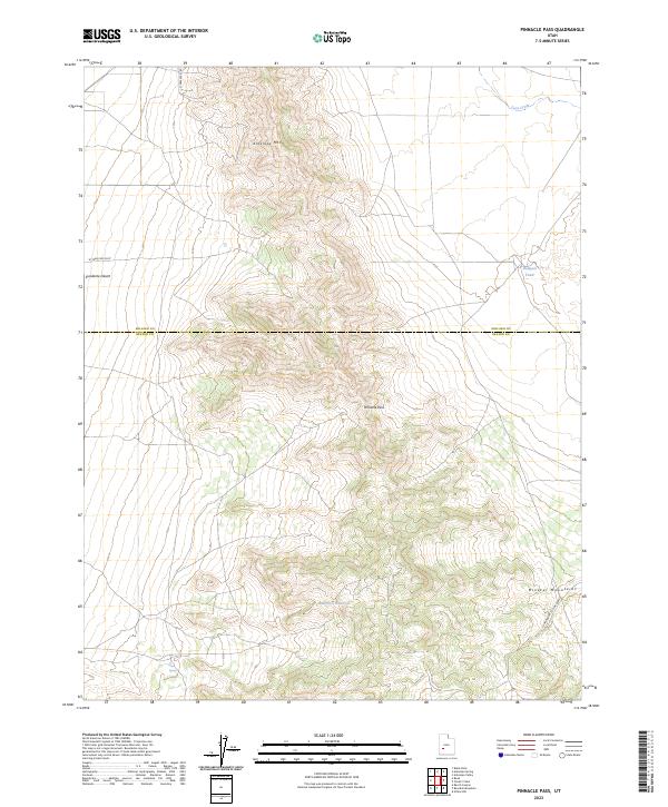
2023 Pinnacle Pass
Beaver County, UT
2023 Pinto Spring
Beaver County, UT
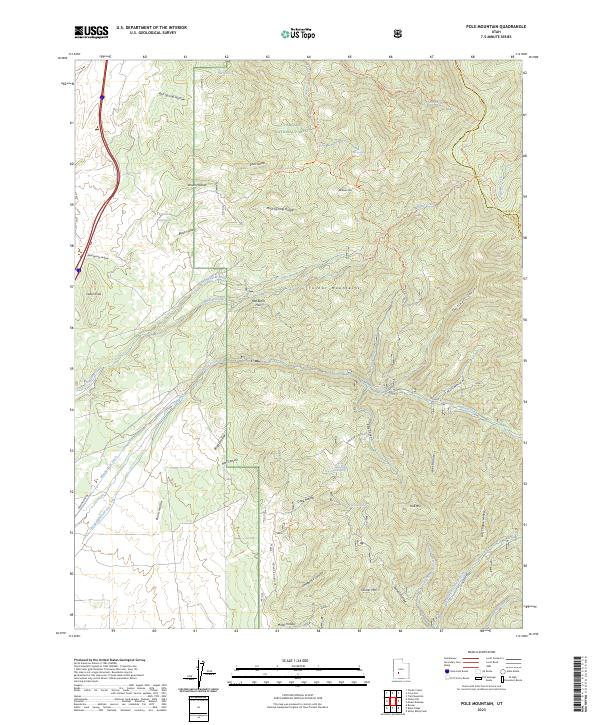
2023 Pole Mountain
Beaver County, UT
2023 Ranch Canyon
Beaver County, UT
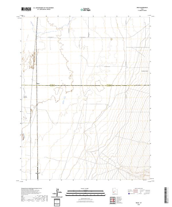
2023 Read
Beaver County, UT
2023 Sawtooth Peak
Beaver County, UT
2023 Sewing Machine Pass
Beaver County, UT
2023 Shelly Baldy Peak
Beaver County, UT
2023 Thermo
Beaver County, UT
2023 The Tetons
Beaver County, UT
2023 Wah Wah Cove
Beaver County, UT
2023 Wah Wah Summit
Beaver County, UT
2023 Wallaces Peak
Beaver County, UT
2023 White Mountain
Beaver County, UT