
1886 Map of Kanab
USGS Topo · Published 1886About this map
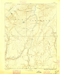
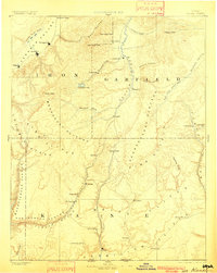
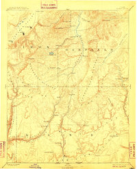
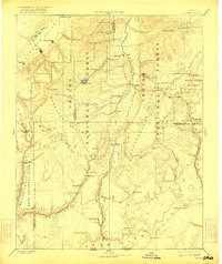
Kanab and the high plateaus of southern Utah appear here in a foundational survey by the Powell Survey. The landscape is defined by the massive geologic staircase of the Pink Cliffs, White Cliffs, and Vermilion Cliffs, which separate the high Markagunt Plateau from the canyon lands below. Early Mormon settlements such as Orderville and Mt. Carmel are established along the Kanab Creek and the Virgin River drainage, while Panguitch serves as a hub near the headwaters of the Sevier River. The map highlights a critical era of colonization and ranching, showing isolated outposts like Upper Kanab and Hillsdale. Significant natural landmarks, including Brian Head and the now-diminished Little Salt Lake in the Parowan Valley, provide essential reference points for early travelers and surveyors navigating this complex terrain.
Find a feature on this map
53 named features on this map. Tap any name to fly to it.
Don’t see what you’re looking for? This feature index may not catch every label — zoom into the map to look around manually.
Map Details
Editions of this 1886 Kanab Map
5 editions found
Other maps of this area

1885 · St. George
USGS Topo · 1:250,000

1885 · Beaver
USGS Topo · 1:250,000

1885 · Fish Lake
USGS Topo · 1:250,000

1886 · Escalante
USGS Topo · 1:250,000

1886 · Mt. Trumbull
USGS Topo · 1:250,000

1886 · Echo Cliffs
USGS Topo · 1:250,000

1886 · Kaibab
USGS Topo · 1:250,000

1891 · St. George
USGS Topo · 1:250,000

1891 · Echo Cliffs
USGS Topo · 1:250,000

1892 · Mt. Trumbull
USGS Topo · 1:250,000