
1886 Map of Kaibab
USGS Topo · Published 1900About this map
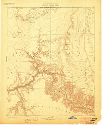
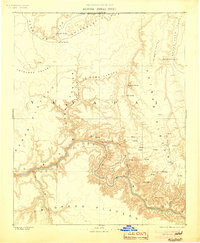
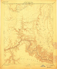
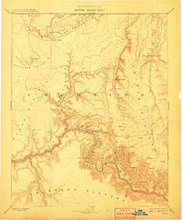
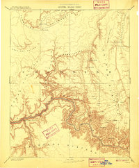
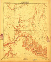
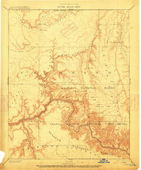
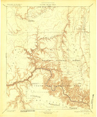
The Colorado River carves a deep path through the Colorado Plateau in this late nineteenth-century reconnaissance survey. The landscape is defined by massive geographic features and the vital presence of water sources in an arid climate. To the north, the Vermilion Cliffs and Shinarump Cliffs rise above Antelope Valley, while isolated springs like Pipe Spring and Moccasin Spring mark critical stopovers for early travelers and settlers near the Arizona Boundary Line.
Find a feature on this map
28 named features on this map. Tap any name to fly to it.
Don’t see what you’re looking for? This feature index may not catch every label — zoom into the map to look around manually.
Map Details
Editions of this 1886 Kaibab Map
9 editions found
Other maps of this area

1885 · St. George
USGS Topo · 1:250,000

1886 · Diamond Creek
USGS Topo · 1:250,000

1886 · Kanab
USGS Topo · 1:250,000

1886 · Escalante
USGS Topo · 1:250,000

1886 · San Francisco Mtns
USGS Topo · 1:250,000

1886 · Mt. Trumbull
USGS Topo · 1:250,000

1886 · Chino
USGS Topo · 1:250,000

1886 · Echo Cliffs
USGS Topo · 1:250,000

1891 · St. George
USGS Topo · 1:250,000

1891 · San Francisco Mtns
USGS Topo · 1:250,000