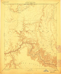
1886 Map of Kaibab
USGS Topo · Published 1906About this map
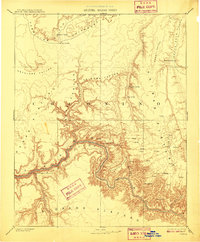
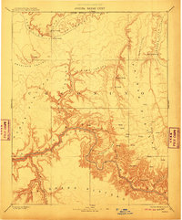
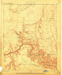
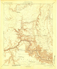
The Colorado River carves a path through the southern half of this landscape, its deep canyon walls defining a territory documented during the Powell Survey. To the north, the Arizona Boundary Line marks the edge of the territory, while the dramatic rising elevations of the Kaibab Plateau and Coconino Plateau dominate the central geography. This early reconnaissance effort focuses heavily on the survival-essential water sources of the high desert, identifying numerous isolated springs such as Moccasin Spring, Mangum Spring, and House Rock Spring.
Find a feature on this map
28 named features on this map. Tap any name to fly to it.
Don’t see what you’re looking for? This feature index may not catch every label — zoom into the map to look around manually.
Map Details
Editions of this 1886 Kaibab Map
9 editions found
Other maps of this area

1885 · St. George
USGS Topo · 1:250,000

1886 · Diamond Creek
USGS Topo · 1:250,000

1886 · Kanab
USGS Topo · 1:250,000

1886 · Escalante
USGS Topo · 1:250,000

1886 · San Francisco Mtns
USGS Topo · 1:250,000

1886 · Mt. Trumbull
USGS Topo · 1:250,000

1886 · Chino
USGS Topo · 1:250,000

1886 · Echo Cliffs
USGS Topo · 1:250,000

1886 · Kaibab
USGS Topo · 1:250,000

1891 · St. George
USGS Topo · 1:250,000