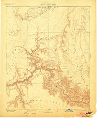
1886 Map of Kaibab
USGS Topo · Published 1903About this map
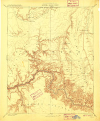
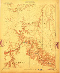
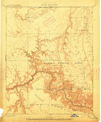
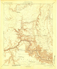
Colorado River currents carve a deep path through this late nineteenth-century landscape, flanked by the massive Kaibab Plateau and Kanab Plateau. This survey, conducted under the direction of J. W. Powell, reveals a territory defined by its scarce water sources and dramatic verticality. Vital watering points like Pipe Spring, Moccasin Spring, and House Rock Spring provided essential stopovers for early travelers and settlers navigating the arid stretches between the Vermilion Cliffs and the canyon depths. Named landmarks such as Point Sublime and Shivas Temple overlook the labyrinthine drainage systems of Kanab Creek and Bright Angel Creek. The presence of De Motte Park and various upland tanks and springs suggests a landscape where movement was dictated by the seasonal availability of water along the high plateaus.
Find a feature on this map
27 named features on this map. Tap any name to fly to it.
Don’t see what you’re looking for? This feature index may not catch every label — zoom into the map to look around manually.
Map Details
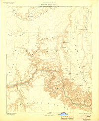
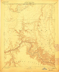
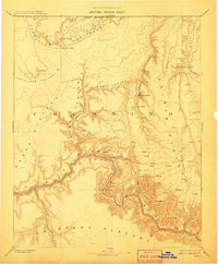
Editions of this 1886 Kaibab Map
9 editions found
Other maps of this area

1885 · St. George
USGS Topo · 1:250,000

1886 · Diamond Creek
USGS Topo · 1:250,000

1886 · Kanab
USGS Topo · 1:250,000

1886 · Escalante
USGS Topo · 1:250,000

1886 · San Francisco Mtns
USGS Topo · 1:250,000

1886 · Mt. Trumbull
USGS Topo · 1:250,000

1886 · Chino
USGS Topo · 1:250,000

1886 · Echo Cliffs
USGS Topo · 1:250,000

1886 · Kaibab
USGS Topo · 1:250,000

1891 · St. George
USGS Topo · 1:250,000