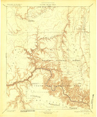
1886 Map of Kaibab
USGS Topo · Published 1927About this map
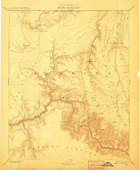
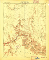
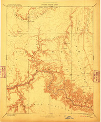
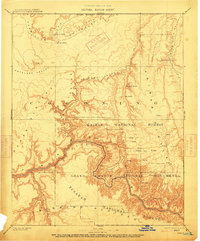
The Colorado River carves a massive path through the center of this reconnaissance study, which reflects the early topographical work of the Powell Survey. The map captures a high-elevation landscape defined by the Kaibab Plateau and the Coconino Plateau, marked by deep drainage systems like Kanab Canyon and Shinumo Canyon. This 1886 data, reprinted in 1927, documents the early administrative boundaries of the Havasupai Indian Reservation and the Grand Canyon National Park before more modern infrastructure arrived.
Find a feature on this map
34 named features on this map. Tap any name to fly to it.
Don’t see what you’re looking for? This feature index may not catch every label — zoom into the map to look around manually.
Map Details
Editions of this 1886 Kaibab Map
9 editions found
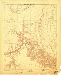
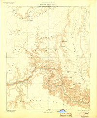
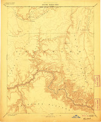
Other maps of this area

1885 · St. George
USGS Topo · 1:250,000

1886 · Diamond Creek
USGS Topo · 1:250,000

1886 · Kanab
USGS Topo · 1:250,000

1886 · Escalante
USGS Topo · 1:250,000

1886 · San Francisco Mtns
USGS Topo · 1:250,000

1886 · Mt. Trumbull
USGS Topo · 1:250,000

1886 · Chino
USGS Topo · 1:250,000

1886 · Echo Cliffs
USGS Topo · 1:250,000

1886 · Kaibab
USGS Topo · 1:250,000

1891 · St. George
USGS Topo · 1:250,000