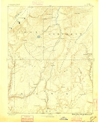
1886 Map of Kanab
USGS Topo · Published 1896About this map
Kanab and the high plateau country of Southern Utah are documented here during the late nineteenth-century period of Mormon pioneer expansion. The map captures a series of small, vital agricultural settlements established along water sources, including the historic communities of Orderville, Mt. Carmel, and Glendale situated in the upper Virgin River drainage. This survey, under the direction of J.W. Powell, illustrates the immense geological staircase of the region, clearly labeling the distinct Pink Cliffs, White Cliffs, and Vermilion Cliffs. These massive escarpments dictated the paths of early travel and commerce, such as the route between Panguitch and the southern frontier. Beyond the larger towns like Parowan, the map identifies smaller, localized sites such as Butlerville, Ranche, and Johnson, which provide essential geographic markers for genealogists tracing family locations before the modern highway era transformed the landscape.
Find a feature on this map
53 named features on this map. Tap any name to fly to it.
Don’t see what you’re looking for? This feature index may not catch every label — zoom into the map to look around manually.
Map Details
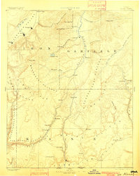
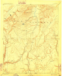
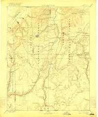
Editions of this 1886 Kanab Map
5 editions found
Other maps of this area

1885 · St. George
USGS Topo · 1:250,000

1885 · Beaver
USGS Topo · 1:250,000

1885 · Fish Lake
USGS Topo · 1:250,000

1886 · Kanab
USGS Topo · 1:250,000

1886 · Escalante
USGS Topo · 1:250,000

1886 · Mt. Trumbull
USGS Topo · 1:250,000

1886 · Echo Cliffs
USGS Topo · 1:250,000

1886 · Kaibab
USGS Topo · 1:250,000

1891 · St. George
USGS Topo · 1:250,000

1891 · Echo Cliffs
USGS Topo · 1:250,000