
1891 Map of Echo Cliffs
USGS Topo · Published 1891About this map
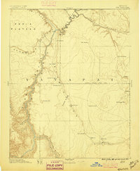
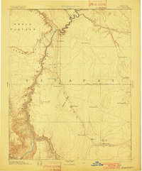
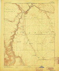
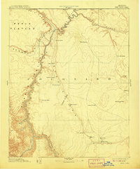
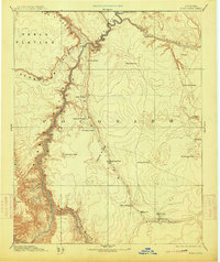
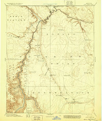
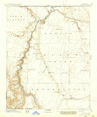
Lee Ferry serves as a critical junction at the confluence of the Colorado River and Paria Canyon, marking one of the few viable crossing points in this vertical landscape. This 1891 survey captures the Northern Arizona corridor during a period of transition, documenting early Mormon settlements like Tuba City and Moencopie alongside the deep incisions of Marble Canyon. The terrain is dominated by the massive north-south sweep of the Echo Cliffs and Cedar Ridge, which dictate travel patterns toward vital water sources such as Navajo Spring and Bitter Spring. Mapping of the Navajo Indian Res. Line and the Keam District reflects the early administrative divisions of Yavapai territory. Remote outposts and family-named watering holes like McClellan Tanks and Whitmore's Pools highlight the precarious nature of western expansion in a region defined by dramatic elevation changes from the Paria Plateau down to the Little Colorado River.
Find a feature on this map
36 named features on this map. Tap any name to fly to it.
Don’t see what you’re looking for? This feature index may not catch every label — zoom into the map to look around manually.
Map Details
Editions of this 1891 Echo Cliffs Map
8 editions found
Other maps of this area

1883 · Marsh Pass
USGS Topo · 1:250,000

1883 · Tusayan
USGS Topo · 1:250,000

1886 · Kanab
USGS Topo · 1:250,000

1886 · Tusayan
USGS Topo · 1:250,000

1886 · Escalante
USGS Topo · 1:250,000

1886 · Henry Mountains
USGS Topo · 1:250,000

1886 · San Francisco Mtns
USGS Topo · 1:250,000

1886 · Chino
USGS Topo · 1:250,000

1886 · Echo Cliffs
USGS Topo · 1:250,000

1886 · Kaibab
USGS Topo · 1:250,000