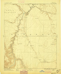
1891 Map of Echo Cliffs
USGS Topo · Published 1896About this map
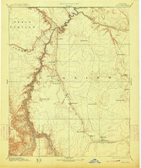
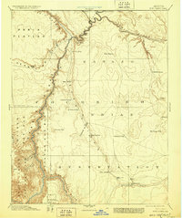
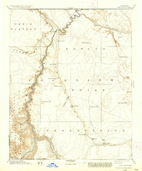
Lee Ferry serves as the critical crossing point where the Colorado River meets Paria Canyon, marking a vital node in the nineteenth-century western frontier. This survey, conducted under the direction of J.W. Powell, illustrates a landscape defined by its immense geological barriers and sparse water sources. The Echo Cliffs and Vermilion Cliffs flank the river corridor, while the Navajo Indian Res. Line bisects the territory. Remote outposts and water dependencies such as Tuba City, Moencopie, and Moa Ave appear in the lower quadrant, connected by rudimentary trails to distant springs and tanks. The map captures the era of early scientific exploration and settlement, documenting named landmarks like Shinumo Altar and Jacobs Pools that were essential to travelers and surveyors navigating the high desert of the Arizona Territory.
Find a feature on this map
37 named features on this map. Tap any name to fly to it.
Don’t see what you’re looking for? This feature index may not catch every label — zoom into the map to look around manually.
Map Details
Editions of this 1891 Echo Cliffs Map
8 editions found

Other maps of this area

1883 · Marsh Pass
USGS Topo · 1:250,000

1883 · Tusayan
USGS Topo · 1:250,000

1886 · Kanab
USGS Topo · 1:250,000

1886 · Tusayan
USGS Topo · 1:250,000

1886 · Escalante
USGS Topo · 1:250,000

1886 · Henry Mountains
USGS Topo · 1:250,000

1886 · San Francisco Mtns
USGS Topo · 1:250,000

1886 · Chino
USGS Topo · 1:250,000

1886 · Echo Cliffs
USGS Topo · 1:250,000

1886 · Kaibab
USGS Topo · 1:250,000