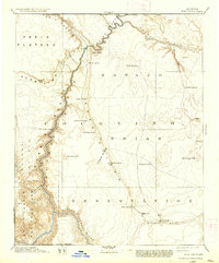
1891 Map of Echo Cliffs
USGS Topo · Published 1937About this map
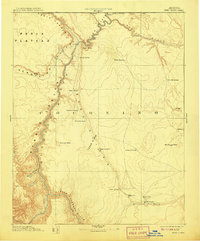
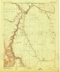
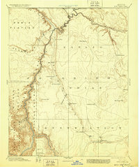
Lees Ferry serves as the critical crossing point where the Colorado River separates the Paria Plateau from the vast lands of the Navajo Indian Reservation. This reconnaissance-style survey, conducted by A.P. Davis and the Powell Surveys, details a landscape defined by water scarcity and dramatic verticality. Beyond the river corridor, the map highlights essential water sources such as Navajo Spring, Bitter Spring, and Whitmore's Pools, which supported travel and small settlements in the high desert. To the south, the village of Tuba and the nearby Moencopie represent the primary centers of human activity along the Moenkopi Wash. Distinctive landmarks like the Shinumo Altar and the towering Echo Cliffs provide navigational anchors across the open terrain, while the descent into the Little Colorado River canyon marks the southern boundary of this high-plateau geography.
Find a feature on this map
40 named features on this map. Tap any name to fly to it.
Don’t see what you’re looking for? This feature index may not catch every label — zoom into the map to look around manually.
Map Details
Editions of this 1891 Echo Cliffs Map
8 editions found

Other maps of this area

1883 · Marsh Pass
USGS Topo · 1:250,000

1883 · Tusayan
USGS Topo · 1:250,000

1886 · Kanab
USGS Topo · 1:250,000

1886 · Tusayan
USGS Topo · 1:250,000

1886 · Escalante
USGS Topo · 1:250,000

1886 · Henry Mountains
USGS Topo · 1:250,000

1886 · San Francisco Mtns
USGS Topo · 1:250,000

1886 · Chino
USGS Topo · 1:250,000

1886 · Echo Cliffs
USGS Topo · 1:250,000

1886 · Kaibab
USGS Topo · 1:250,000