Old Maps of Parowan, Utah
Explore 18 old maps of Parowan, spanning from 1886 to today. These high-resolution historic maps reveal how streets, neighborhoods, landmarks, and natural features evolved over time — perfect for genealogy, metal detecting, research, and local history exploration.
What you can do with these maps:
- See how Parowan changed over time: Compare historical maps to modern-day views to trace roads, homesites, rail lines & more.
- View detailed metadata: Each map includes creators, publishers, year, scale, and archive source.
- Overlay maps with satellite & LiDAR: Visualize the past alongside modern tools to explore terrain & human change.
- Trusted historical sources: Maps sourced from the USGS, Library of Congress, and other archives.
- Access maps your way: View online, download high-res files, or order prints for personal or research use.
Start exploring old maps of Parowan to uncover forgotten places, hidden landmarks, and the deep history beneath your feet.
Parowan, UT maps
(18)- 1886 Map of Kanab
 1886 Kanab1886 Print · USGSSouthern Utah in the late nineteenth century remains a frontier of deep canyons and high plateaus. Researchers can trace early pioneer outposts and river settlements like Orderville, Mt. Carmel, and Kanab tucked beneath the Vermilion Cliffs.5 unique versions available
 - 1953 Map of Cedar City, 1966 Print
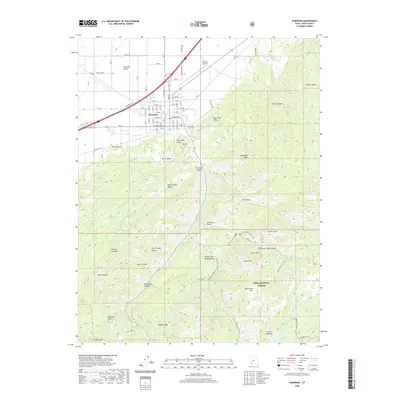
 1953 Cedar City1966 Print · USGSSouthwestern Utah's high plateaus and desert basins are mapped here during the mid-fifties, showing the region before the modern interstate system. Researchers can trace historic mining at Silver Reef, follow the Union Pacific line, and locate early settlements like Kanarraville and Toquerville.3 unique versions available
 - 1958 Map of Cedar City
 1958 Cedar City1958 Print · USGSSouthwestern Utah in the late fifties was a land of mineral extraction and monumental landscapes. Genealogists and historians can trace pioneer-era settlements like Grafton and Parowan alongside industrial sites such as the Silver Reef Mine.2 unique versions available
 - 1962 Map of Cedar City
 1962 Cedar City1962 Print · USGSSouthern Utah in the early sixties showcases a landscape of dramatic plateaus and historic mining outposts. Trace the early settlement patterns at the Silver Reef (ruins), locate the Iron Mine near the Hurricane Cliffs, or find the Fort Harmony Monument.
 - 1971 Map of Summit, 1975 Print
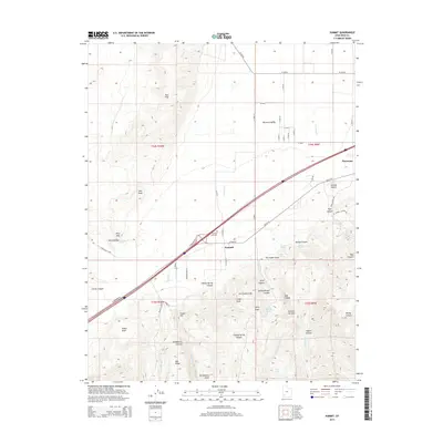
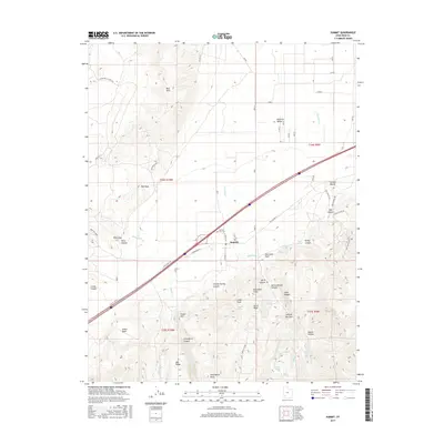
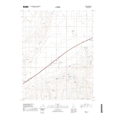
 1971 Summit1975 Print · USGSIron County in the early 1970s shows a landscape of high desert water management and rural industry. You can trace the development of Summit and find specialized landmarks like the Cinder Pit near Cinder Hill or the historic Cem on the valley's edge.
 - 1971 Map of Parowan, 1975 Print
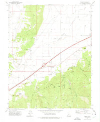
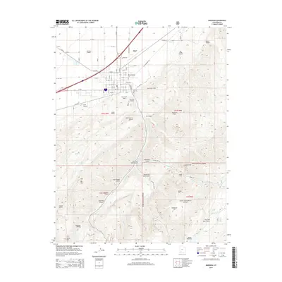
 1971 Parowan1975 Print · USGSParowan and the surrounding valley are captured in the early seventies as the community balanced its agricultural roots with forest recreation. Trace local landmarks from the City Airport to the high camps at Vermillion Castle Campground and Yankee Meadows Reservoir.2 unique versions available
 - 1980 Map of Panguitch, 1981 Print
 1980 Panguitch1981 Print · USGSThe high plateau country of Southern Utah is captured here in the early eighties, centered on the Sevier River and the gateway town of Panguitch. Researchers can trace the boundaries of Bryce Canyon National Park and find local landmarks like Ruby's Inn, Panguitch Lake, and Hatch.2 unique versions available
 - 2002 Map of Parowan, 2005 Print
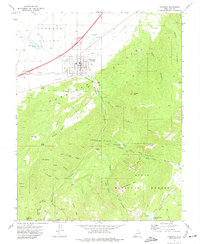
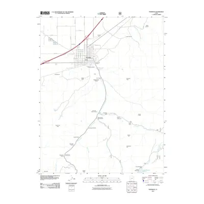
 2002 Parowan2005 Print · USGSParowan sits at the foot of the Hurricane Cliffs during a period of steady growth in the high desert of Iron County. Researchers can trace the town's expansion toward the City Airport and locate landmarks like the Cem and Parowan High Sch.
 - 2010 Map of Summit, 2010 Print
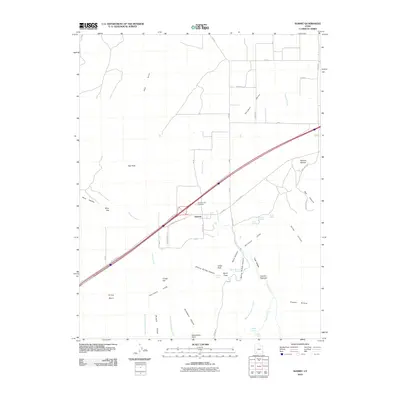 2010 Summit2010 Print · USGSCovers Parowan, including Enoch, Summit, and other nearby areas
 - 2011 Map of Parowan, 2011 Print
 2011 Parowan2011 Print · USGSCovers Parowan, including Iron County, United States, and other nearby areas
 - 2014 Map of Parowan, 2014 Print
 2014 Parowan2014 Print · USGSCovers Parowan, including Iron County, United States, and other nearby areas
 - 2014 Map of Summit, 2014 Print
 2014 Summit2014 Print · USGSCovers Parowan, including Enoch, Summit, and other nearby areas
 - 2017 Map of Parowan, 2017 Print
 2017 Parowan2017 Print · USGSCovers Parowan, including Iron County, United States, and other nearby areas
 - 2017 Map of Summit, 2017 Print
 2017 Summit2017 Print · USGSCovers Parowan, including Enoch, Summit, and other nearby areas
 - 2020 Map of Parowan, 2020 Print
 2020 Parowan2020 Print · USGSCovers Parowan, including Iron County, United States, and other nearby areas
 - 2020 Map of Summit, 2020 Print
 2020 Summit2020 Print · USGSCovers Parowan, including Enoch, Summit, and other nearby areas
 - 2023 Map of Parowan, 2023 Print
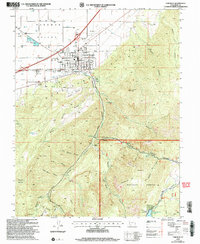
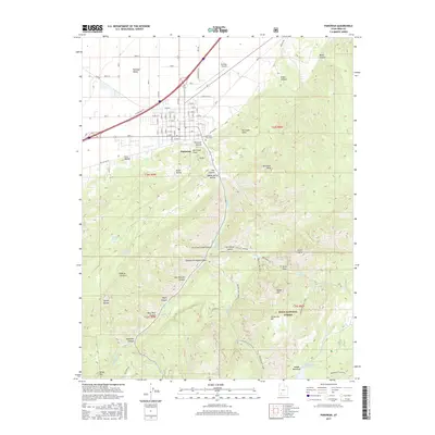
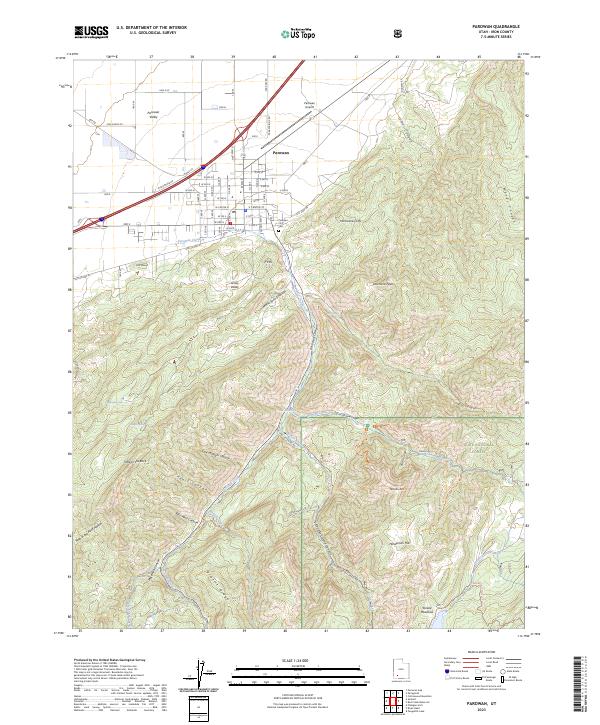 2023 Parowan2023 Print · USGSParowan and the surrounding Iron County high country are documented in this recent survey, capturing the town where the desert valley meets the cliffs. Genealogists and local historians can trace the town grid to the Parowan City Cem or follow backcountry routes toward Yankee Meadows and Noahs Ark.
 - 2023 Map of Summit, 2023 Print
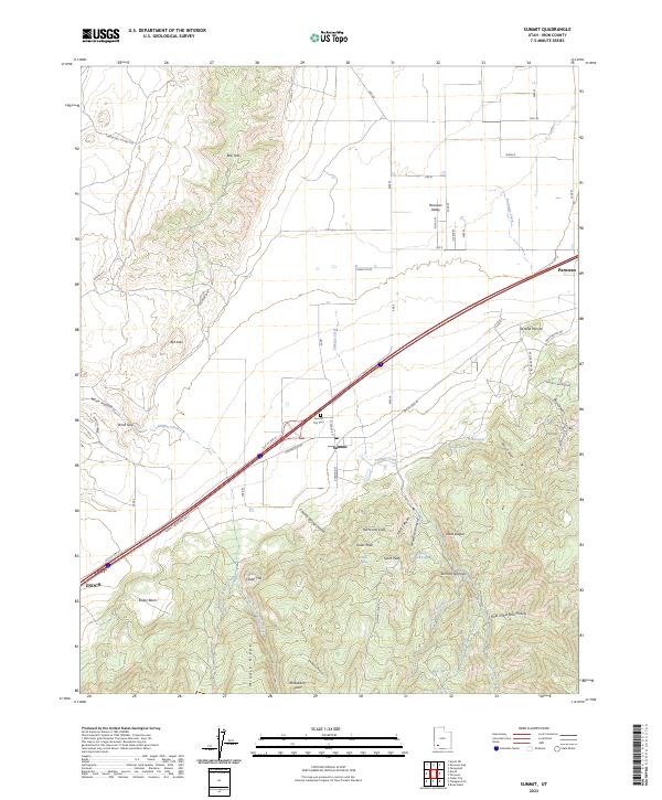 2023 Summit2023 Print · USGSIron County at the edge of the Hurricane Cliffs shows a landscape of high-altitude ridges and valley settlements. Researchers can trace the layout of Summit, locate the Summit City Cem, and follow the path of Old US Hwy 91.
End of results
Showing maps 1-18 of 18
Top cities near Parowan
- Cedar City historical maps
- Enoch historical maps
- Paragonah historical maps
- Summit historical maps
- Brian Head historical maps
Frequently asked questions
- What are the different types of historical maps available for Parowan?
- What is the oldest map of Parowan?
- Where can I purchase historical maps of Parowan for my home or office?
- Where can I download high-res historical maps of Parowan?
- Are there historical topographic maps available for Parowan?
- Is there historical aerial imagery available for Parowan?
- Where are historical maps of Parowan sourced from?