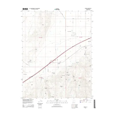
2014 Map of Summit
USGS Topo · Published 2014About this map
The Hurricane Fault dramatically carves through this portion of Iron County, creating a stark geological boundary between the elevated Hurricane Cliffs and the broad Parowan Valley. Settlement is concentrated along the historic transit corridor of N Highway 91 and Old US-91, where the community of Summit and the Summit City Cem sit at the base of the highlands. The map documents a landscape where water is a precious resource, marked by numerous named points like Cheney Spring, First Spring, and the high-altitude Deer Lake. To the south and west, the terrain becomes increasingly complex, moving from the Elliker Basin toward the prominent Red Hills and the volcanic signature of Cinder Hill. This 2014 survey captures the intersection of ancient tectonic shifts and modern rural infrastructure near the edge of Parowan.
Find a feature on this map
55 named features on this map. Tap any name to fly to it.
Don’t see what you’re looking for? This feature index may not catch every label — zoom into the map to look around manually.
Map Details
Editions of this 2014 Summit Map
This is the sole edition of this map. No revisions or reprints were ever made.
Other maps of this area

1885 · St. George
USGS Topo · 1:250,000

1886 · Kanab
USGS Topo · 1:250,000

1891 · St. George
USGS Topo · 1:250,000

1950 · Enoch
USGS Topo · 1:24,000

1950 · Cedar City
USGS Topo · 1:24,000

1950 · Enoch
USGS Topo · 1:62,500

1950 · Cedar City
USGS Topo · 1:62,500

1950 · Enoch NE
USGS Topo · 1:24,000

1952 · Enoch NE
USGS Topo · 1:24,000

1953 · Cedar City
USGS Topo · 1:250,000