
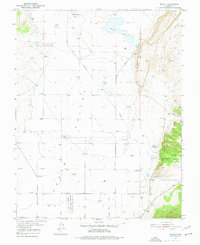
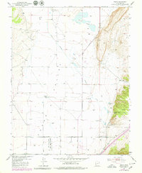
1950 Map of Enoch
USGS Topo · Published 1952About this map
The high desert landscape of Cedar Valley is defined by a network of early water management and ranching outposts in this mid-century survey. Irrigation efforts are central to the terrain, evidenced by the Enoch Ditch (Abandoned) and various water sources like Clarks Spring and North Spring Reservoir that supported local agriculture. The settlement of Enoch serves as the primary hub, accompanied by the Enoch Cem, while the map documents historical footprints at Stevensville (Site) and Fort Johnson (Site).
Find a feature on this map
31 named features on this map. Tap any name to fly to it.
Don’t see what you’re looking for? This feature index may not catch every label — zoom into the map to look around manually.
Map Details
Editions of this 1950 Enoch Map
3 editions found
Other maps of this area

1885 · St. George
USGS Topo · 1:250,000

1886 · Kanab
USGS Topo · 1:250,000

1891 · St. George
USGS Topo · 1:250,000

1949 · Cedar City NW
USGS Topo · 1:24,000

1950 · Cedar City NW
USGS Topo · 1:24,000

1950 · Cedar City
USGS Topo · 1:24,000

1950 · Enoch
USGS Topo · 1:62,500

1950 · Cedar City
USGS Topo · 1:62,500

1950 · The Three Peaks
USGS Topo · 1:24,000

1950 · Enoch NE
USGS Topo · 1:24,000